|
We usually meet on the last Wednesday of each month at 9:30am by the village hall. Walks are not long or strenuous; 5 or 6 miles on average, each with a different leader.
Group Leader David Burke
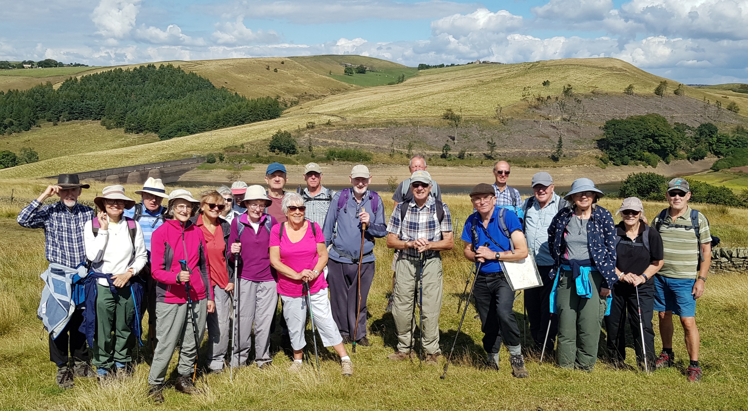
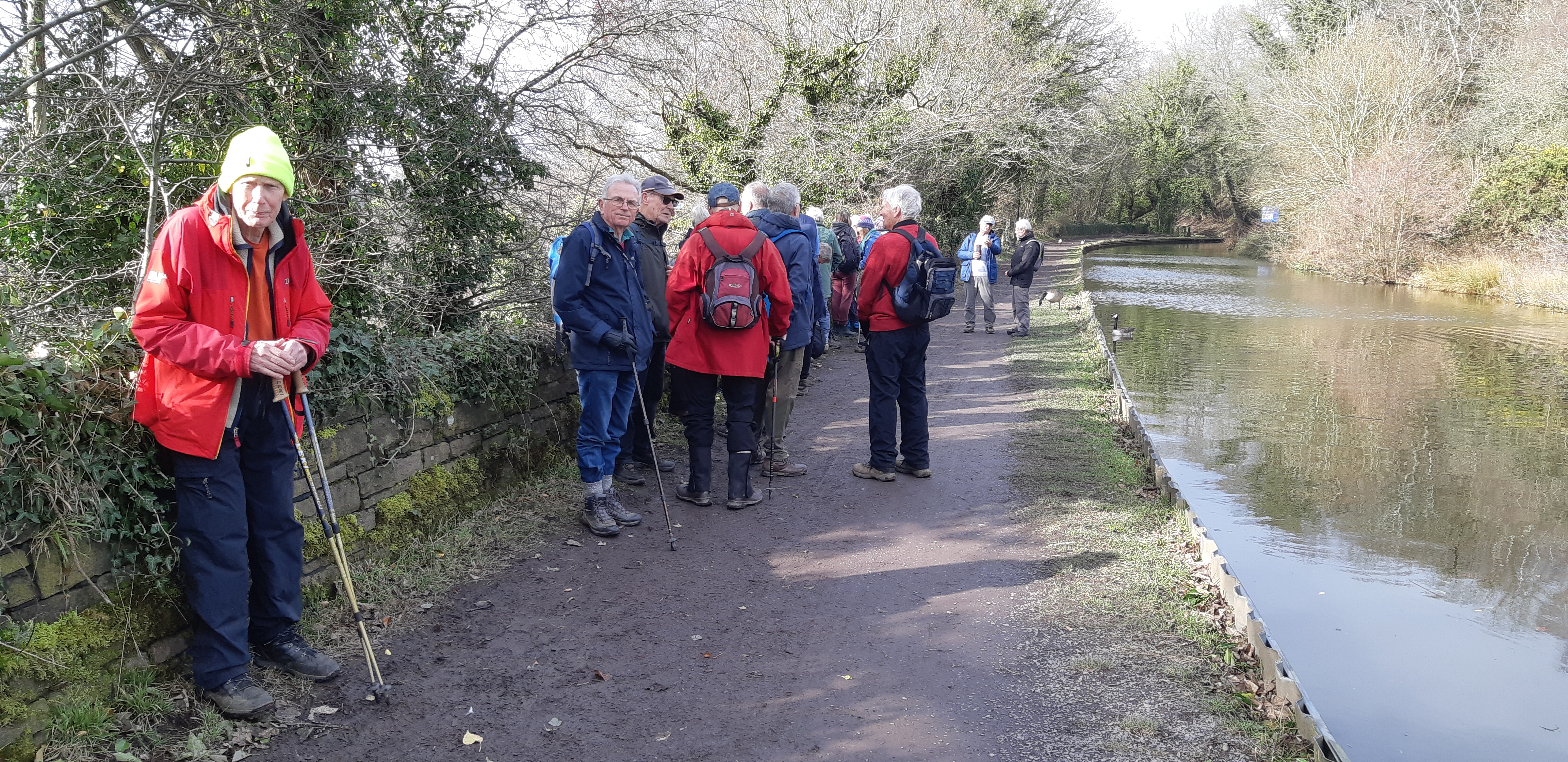
2026 Walks 28/01/2026 - Hague Bar - Mousley Bottom Nature Reserve - The Torrs Riverside Park - Goytside Meadows Nature Reserve - Peak Forest Canal .
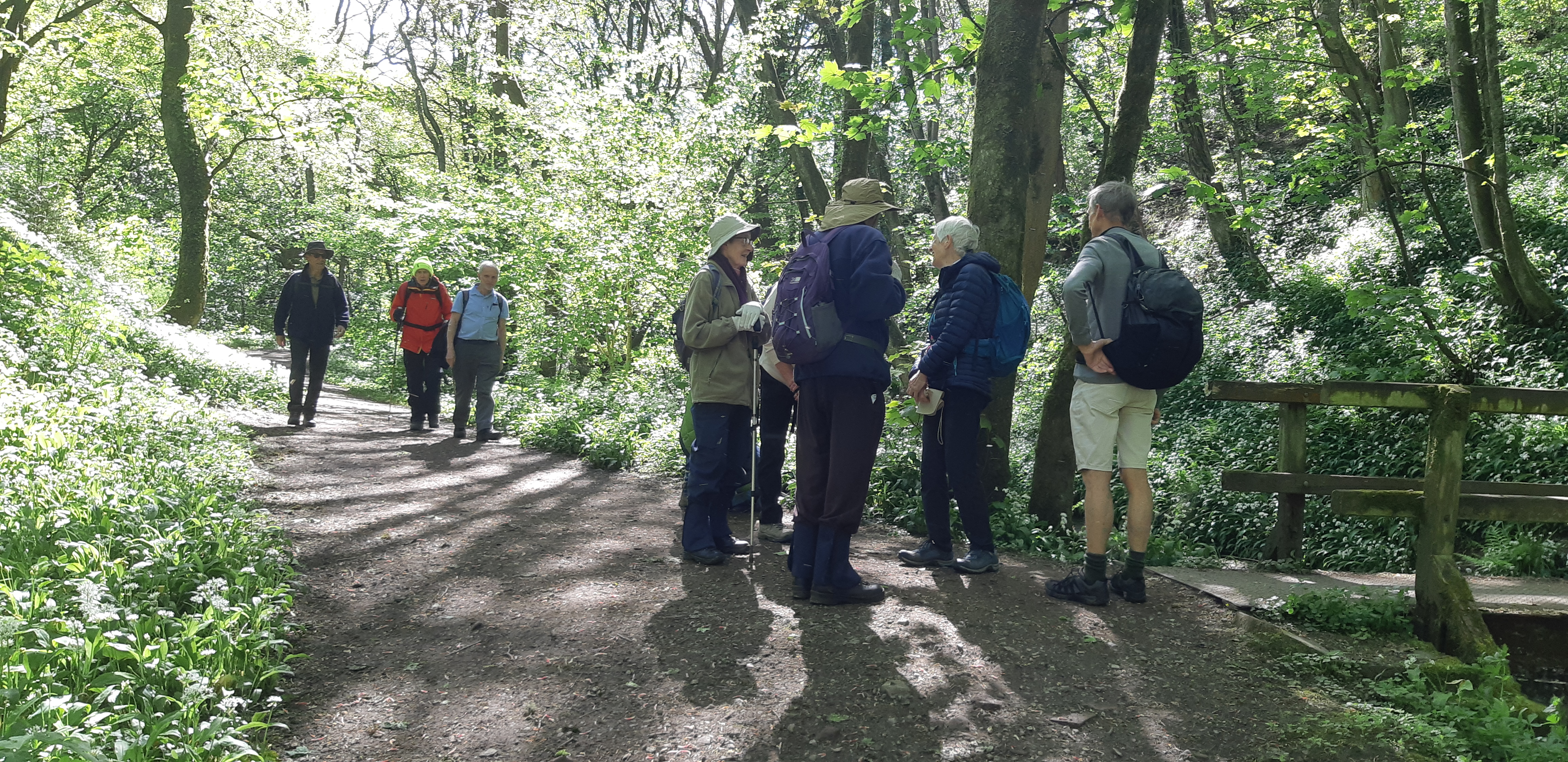
We started from the newly resurfaced car park at Hague Bar and followed the Goyt Way path upstream to Mousley Bottom Nature Reserve. This flat section of the valley, with the River Goyt in earnest mood after recent rain, provided spectacular views in full sunshine.
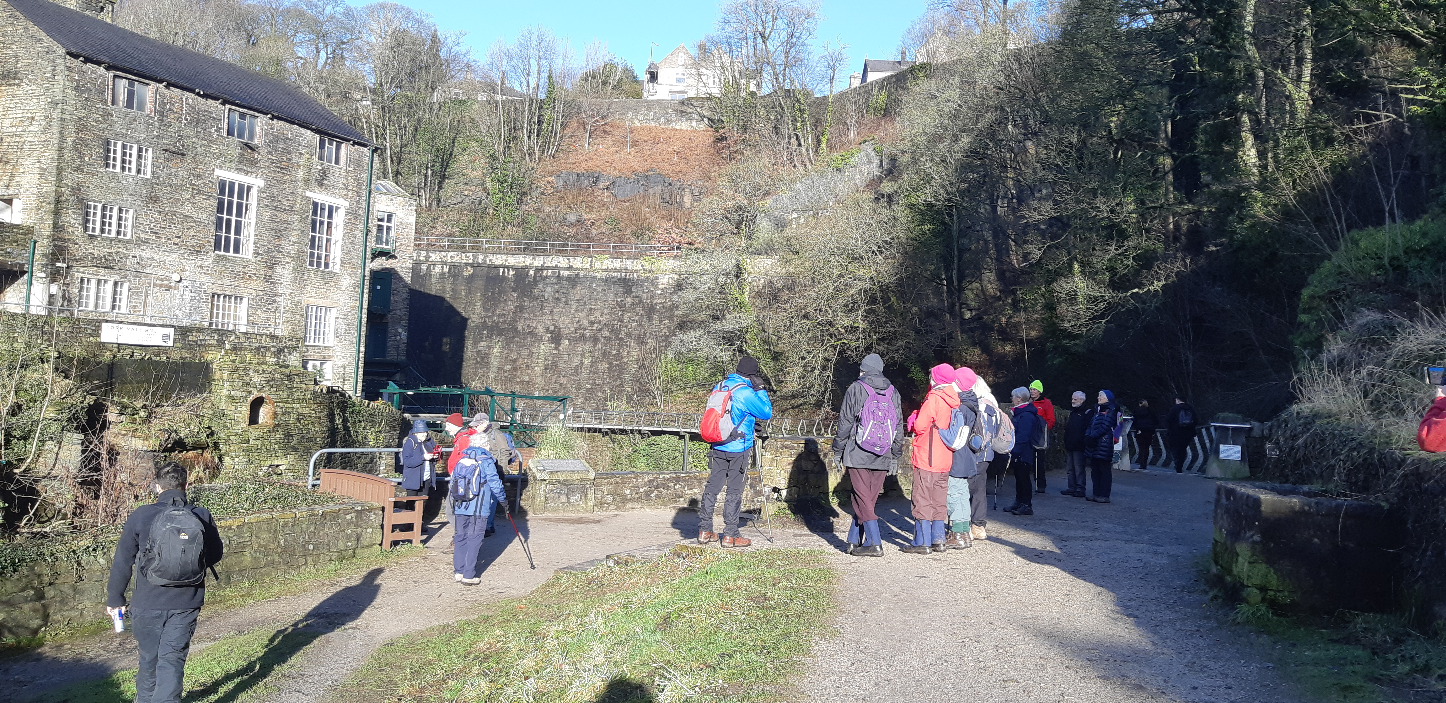
Our onward route led to the magical Torrs Riverside Park. What a fascinating unique place this is, both geographically and from an industrial archaeological viewpoint. We strolled through this gorge, which was once at the heart of the Industrial Revolution, in wonderment. The millennium walkway facilitates amazing access to The Torrs with the River Goyt raging directly below. Well worth a visit.
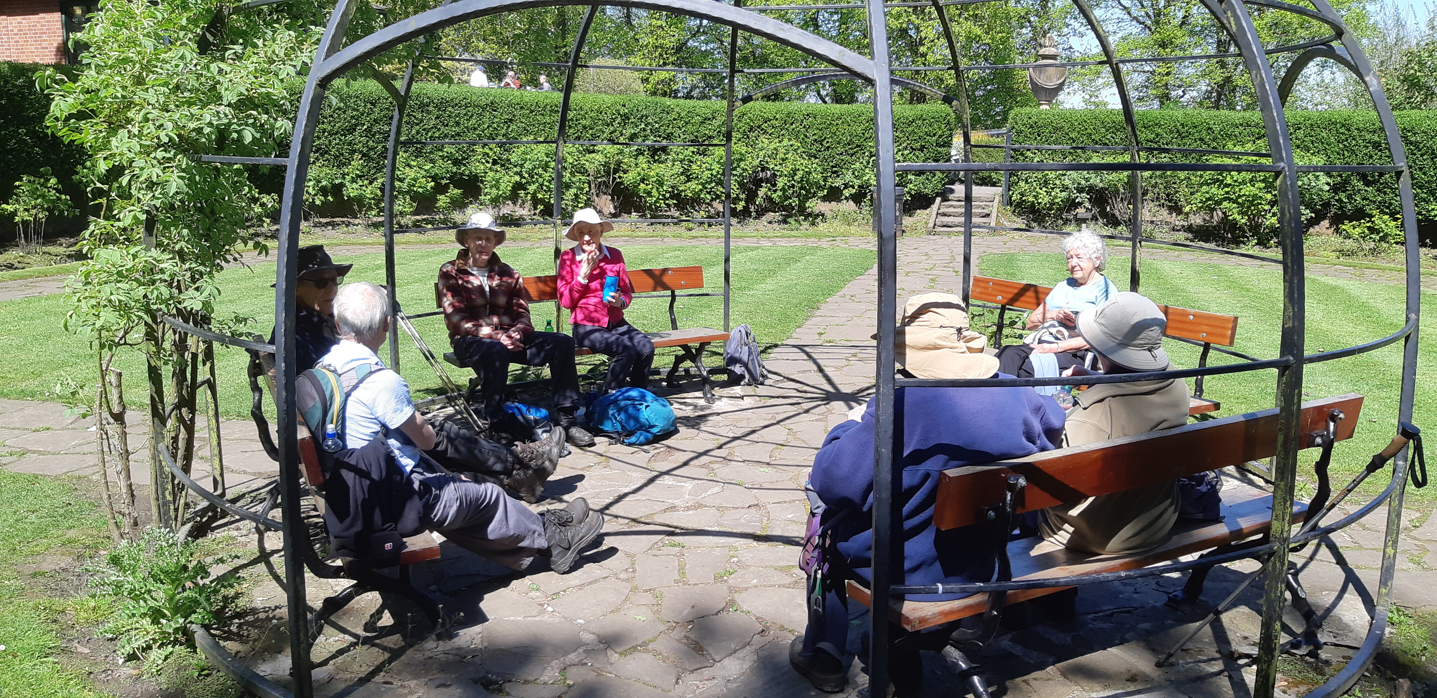
We had our coffee stop at picnic tables adjacent to the Torrs Hydro - the UK's first community owned and funded hydro electric scheme.
In 1810 New Mills had 9-Cotton Mills, 3-Weaving Mills and several Print Works. Initially, the Mills were water powered. The Torrs is at the confluence of two rivers - the Goyt and the Sett, so flowrate is plentiful.
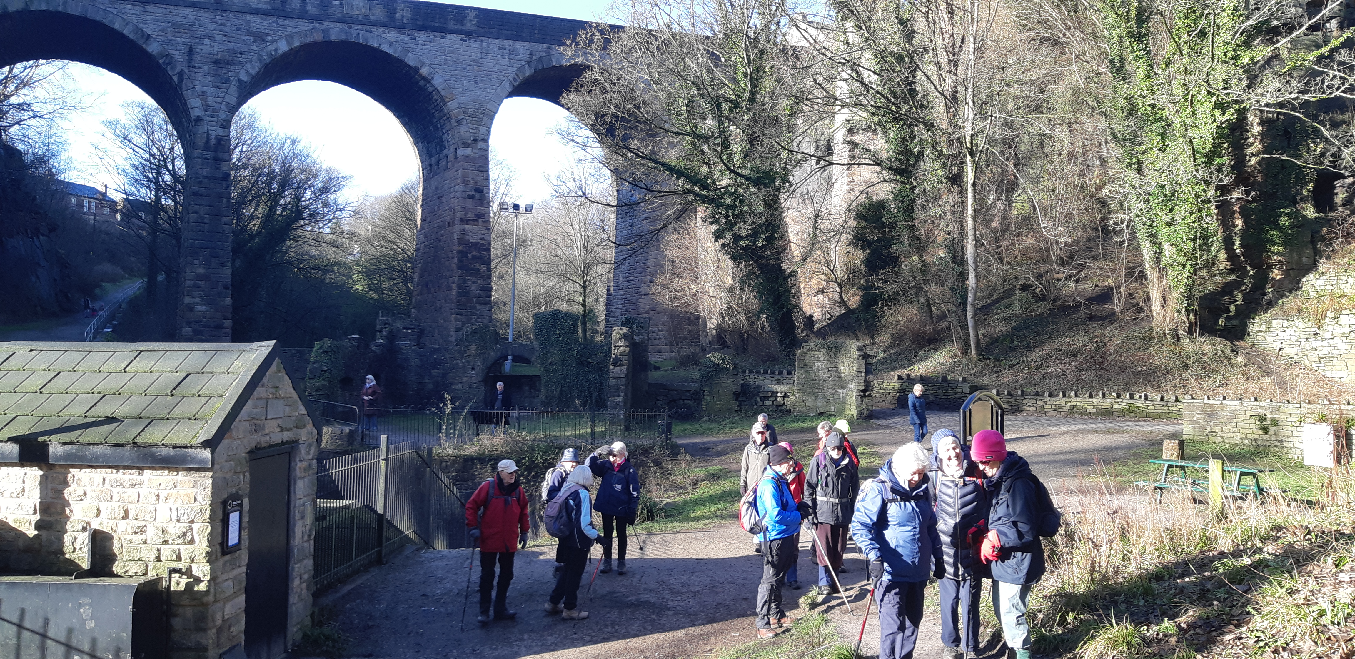
Later, with the arrival of the Steam Age, static steam engines provided the Mills with power before the arrival of mains electricity. The Torrs area is home to the Union Bridge, a massive stone multi-arched structure, opened in 1884, it spans The Torrs gorge, linking New Mills and Newtown.
This whole area has an abundance of well built man-made stone structures - Factories, Bridges, Viaducts, three separate railway lines and a Canal.
We progressed to Goytside Farm and then onwards to Goytside Meadows where we spent a few minutes trying to tell the time on a vertical sun dial!
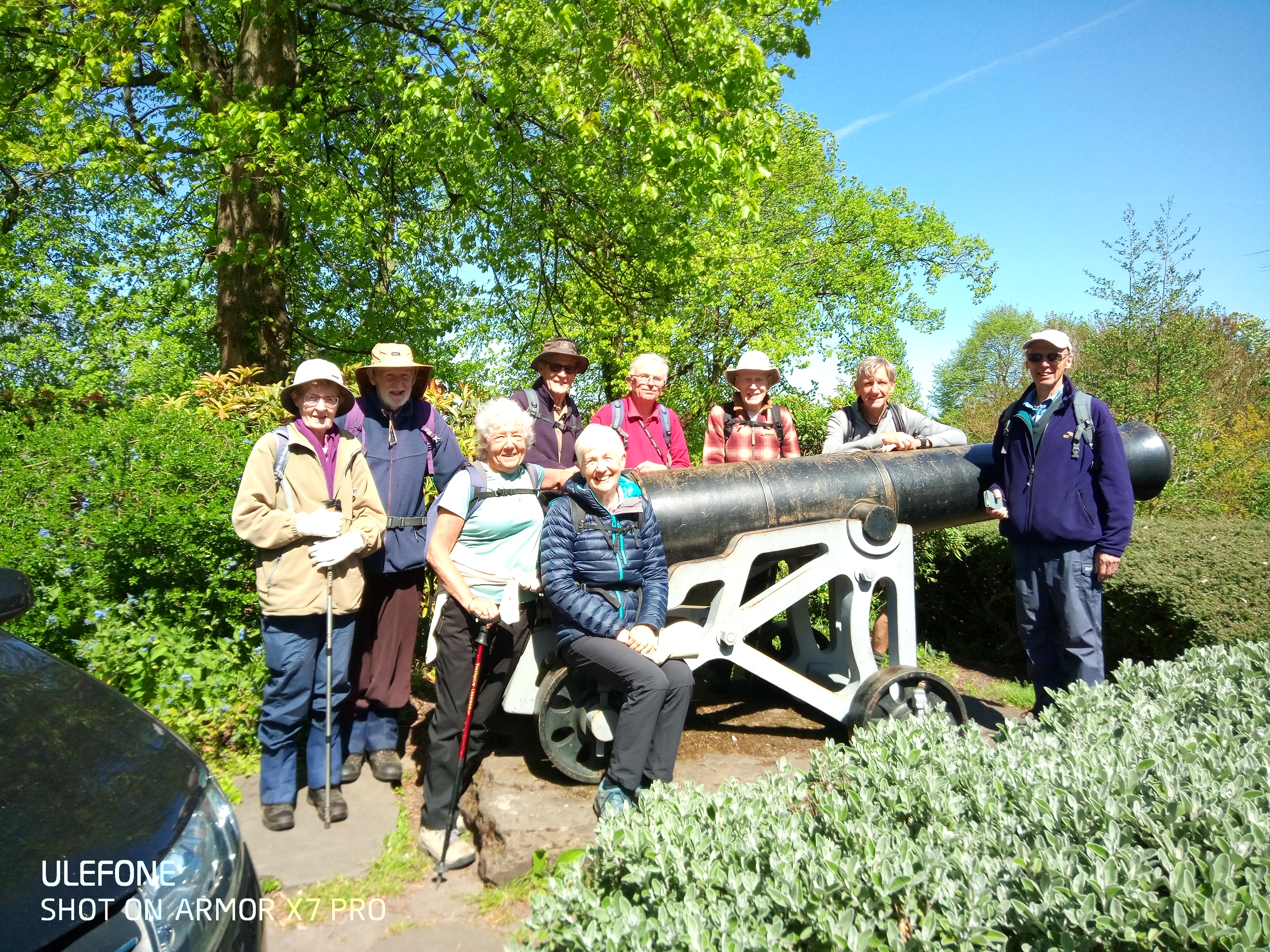
The Peak Forest Canal then provided our homeward leg towards Disley and the return to our starting point via Lower Greenhall Lane, thus ending a superb interesting circular walk blessed with sunshine throughout. Some of the team adjourned to The Ram's Head, Disley, for a celebratory drink!
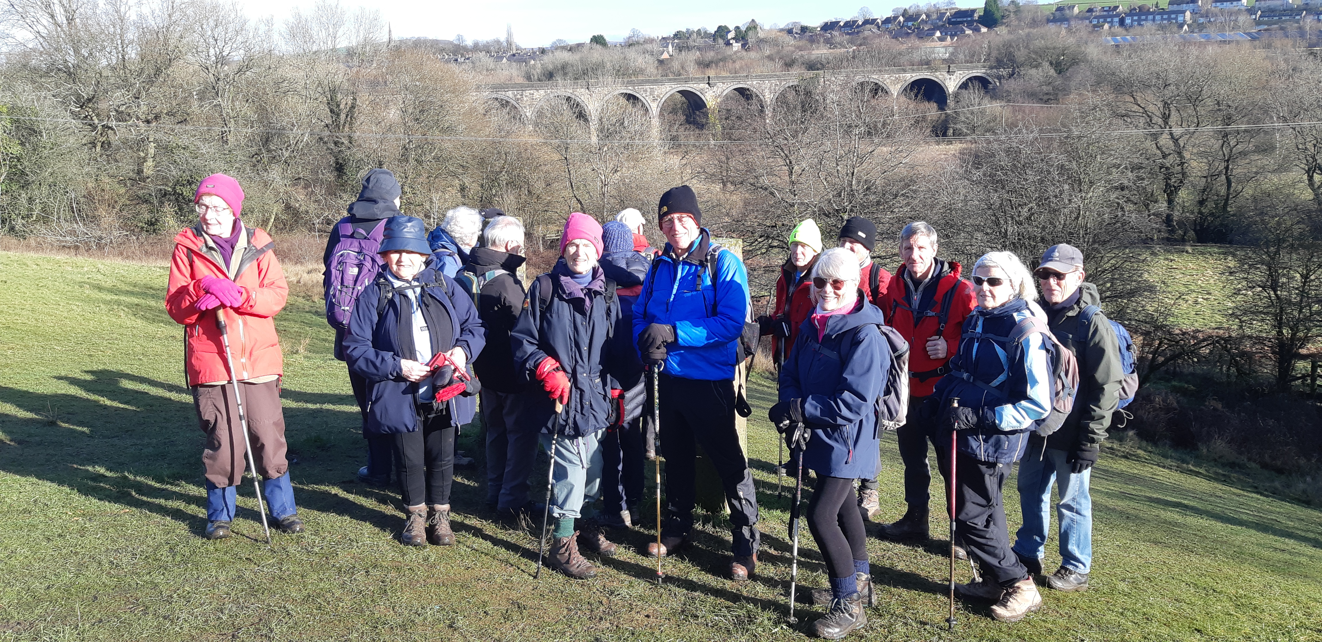
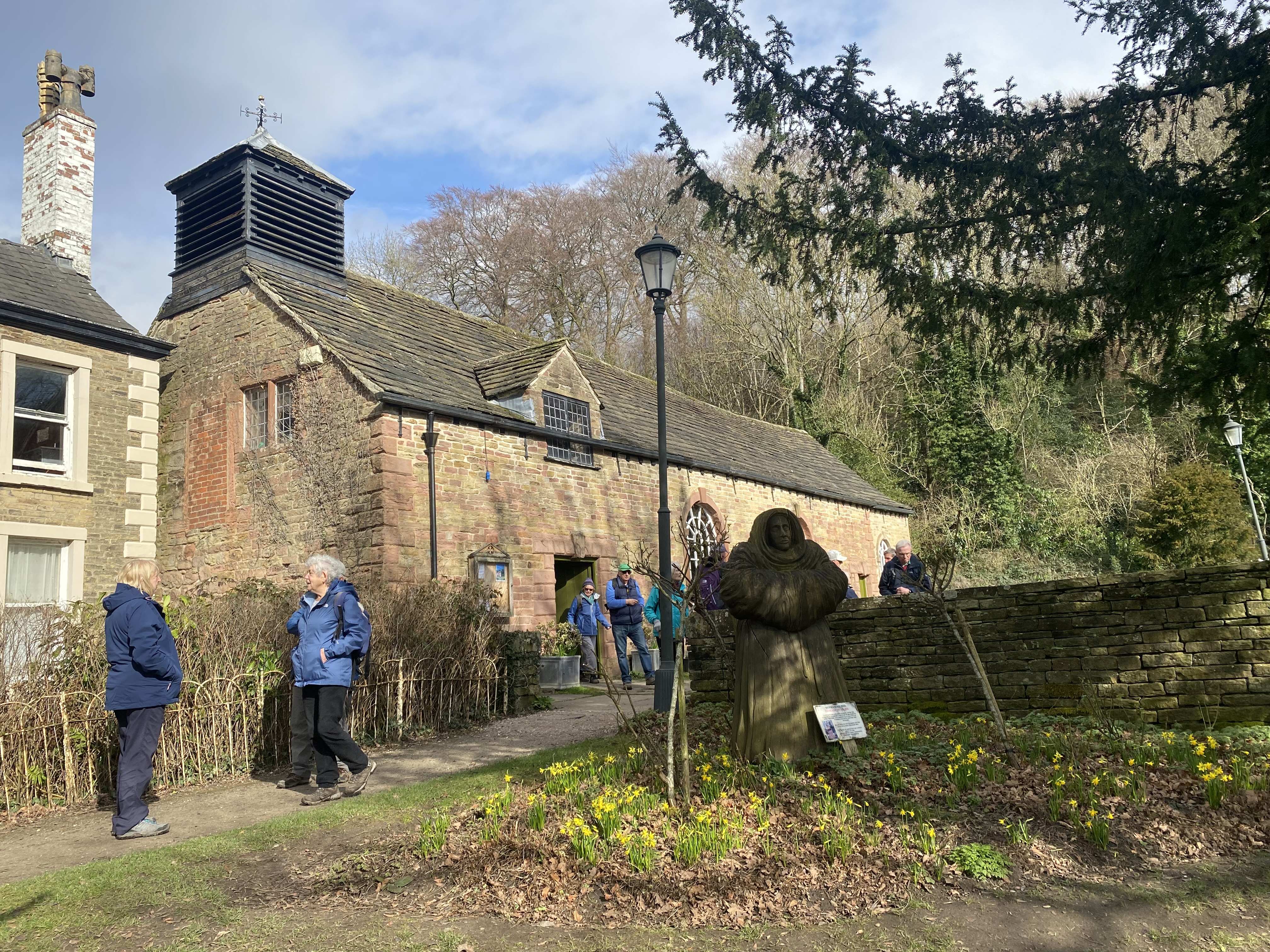
25/02/2026 Marple - Marple Locks - Aqueduct - Chadkirk - Peak Forest Canal
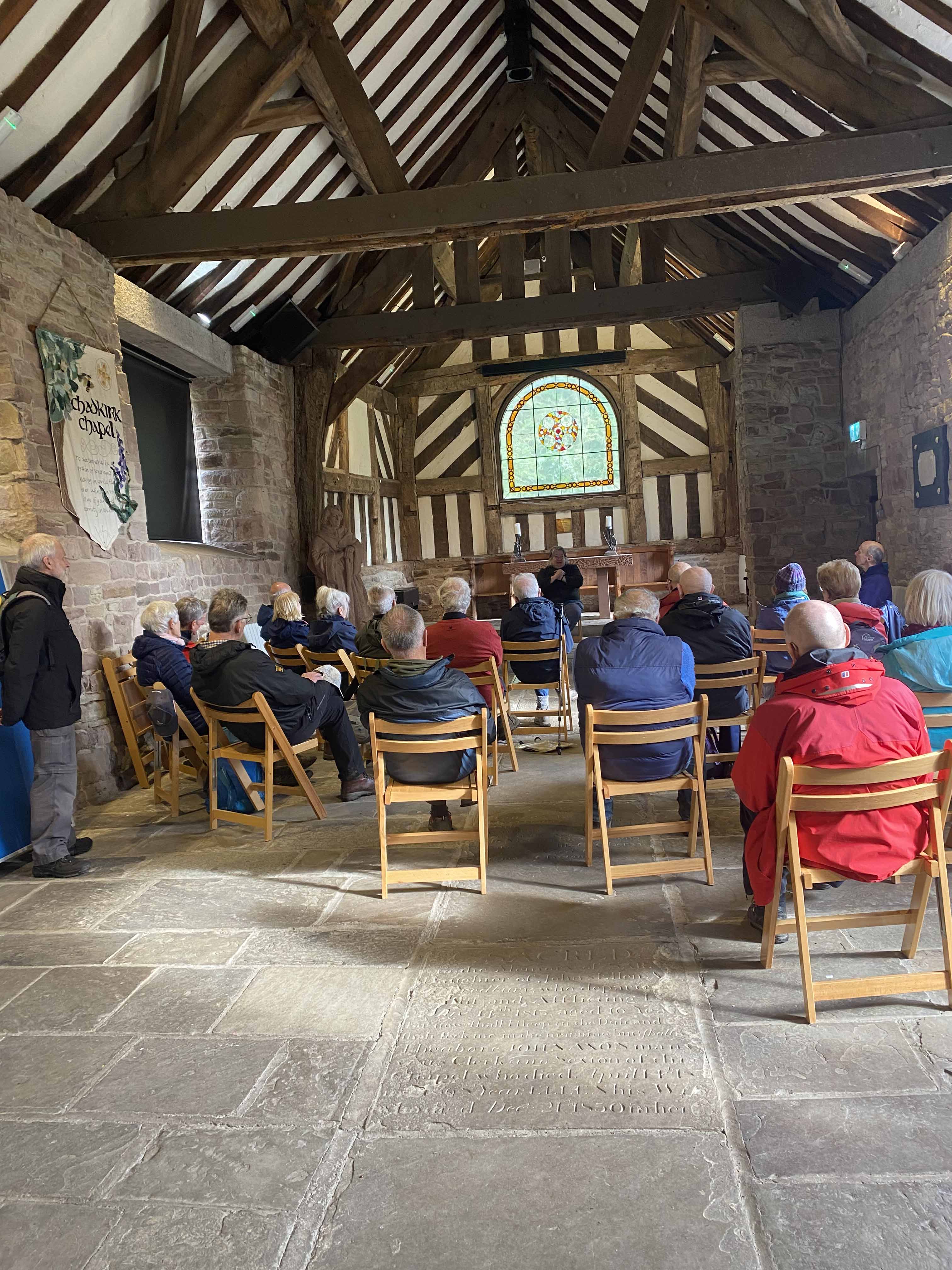
Continuing along the canal side we walked over the tunnel, and further along the canal until we reached the woods through which we descended to Chadkirk Chapel. Plenty of seats made it a most satisfactory lunch stop but then a volunteer opened the chapel for us, provided drinks and gave us a most interesting and enthusiastic talk about the history of the area, including St Chad.
Passing St Chad's Well we then climbed back up to the canal and followed the flight of 16 locks back to the church -and the pub! A very enjoyable day - enhanced by the weather.
Shelagh Stokes
High Lane U3A Walk Report 25th March 2026
A Spring walk in the New Mills, Buxworth and Furnace Vale countryside looking at our industrial past and its recovery by man and nature.
Despite the weather forecast of very cold conditions with sleet wintery showers and blustery winds 11 valiant members of our group turned up for this 6-mile walk led by Merlyn & Joyce.
The weather didn't disappoint: yes, it was cold, blustery with sleet and snow showers falling against our backs as we walked along; but interspersed with dry conditions and sunshine.
The walk started from Top Torrs carpark in New Mills. We descended down the Torrs crossed the River Sett to meet the River Goyt path adjacent to the Torrs Hydro.
You can see our industrial past of old water and steam powered mills and the huge Railway and Road stone bridges over the gorge. We followed the river as it meandered beneath the tree canopy with spring flowers just showing. Onwards passing Goyt Farm we continued on a field path heading towards (Marsh Lane.)
A short snow storm started as we journeyed uphill on Lady Pit and Dolly Pit Lane. We sheltered and had our coffee stop under a railway bridge followed by our first glimpse into the history of this area. Underground horse drawn tramways (Jowhole Tunnel) linking Lady Pit to the coal wharf and onwards to Gowhole sidings. We passed the site of Lady Pit, Furnace Pit, Dolly Pit and Gowhole sidings and the marvels of man and nature turning this area back to nature. Some features of our industrial past blending into the background were observed: - Pit railway embankment, mine trackways, air shaft and foundations of Gowhole railway turntable.
Intermittent snow flurries continued as we walked downhill to Buxworth Basin. Lunch on dry picnic tables under a large canopy at the closed Navigation Inn proved an ideal venue.
The route back was along the canal towpath to Furnace Vale marina, down to the river Goyt bridge and retuning back via the Torrs.
David thanked Merlyn and Joyce for the well-received walk on behalf of the group members.
Merlyn & Joyce Young
Walk 29/04/2026 : Chadkirk - Woodbank Park - Vernon Park - Pear Mill - Bredbury Hall
.
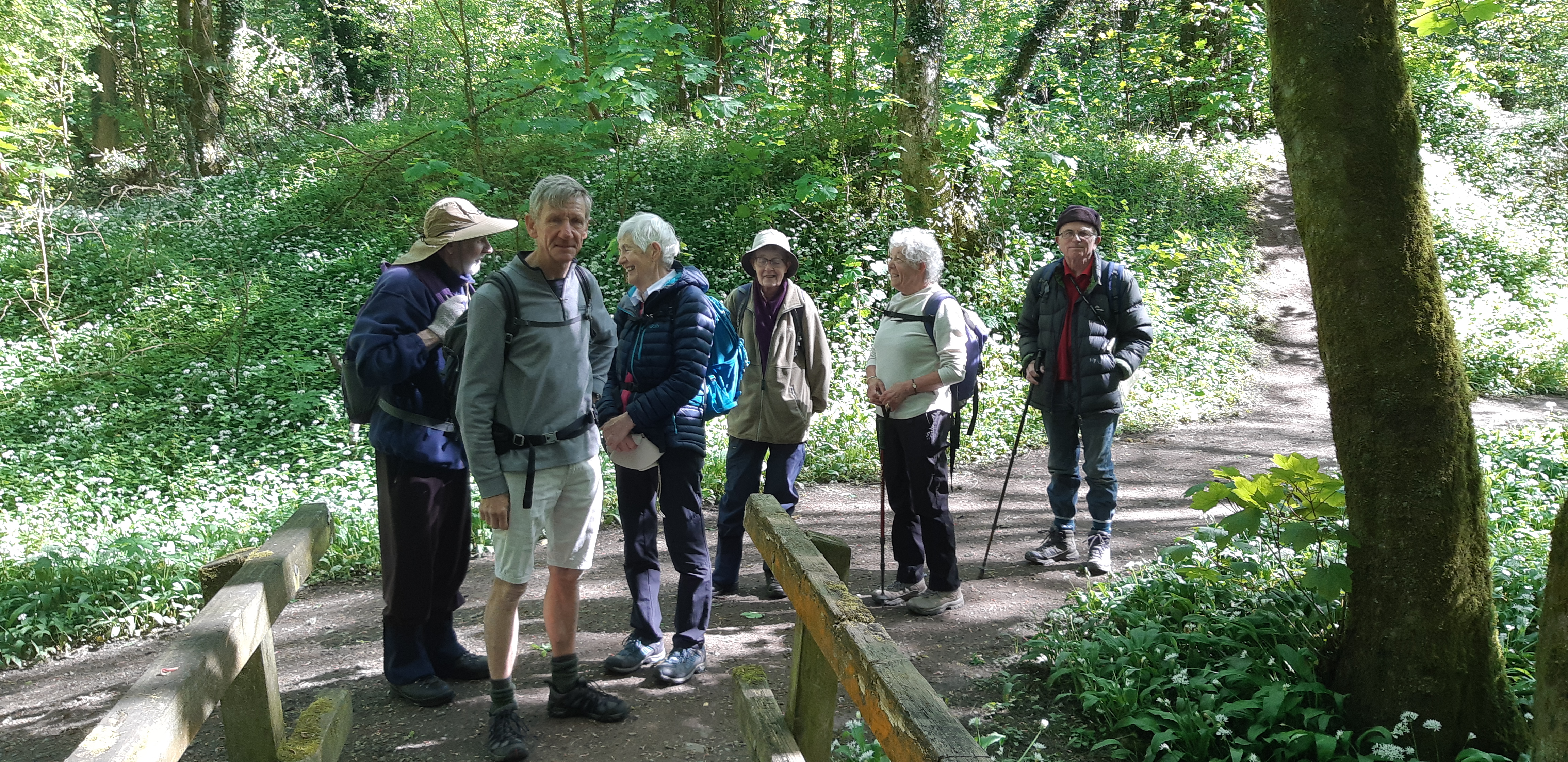
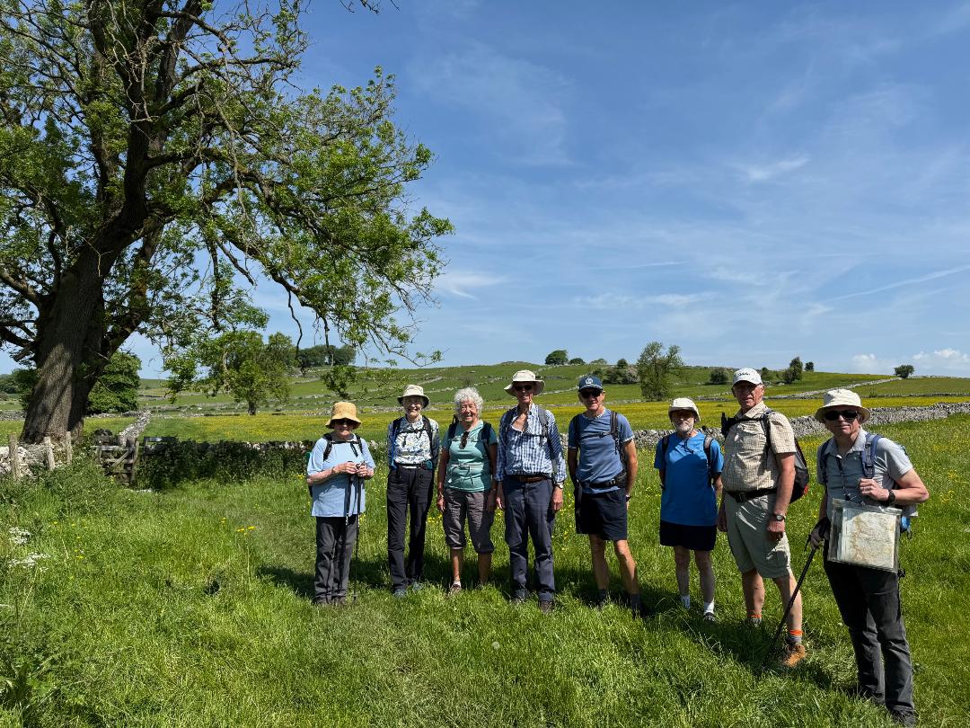
Walk 27May26: Alstonefield - Narrowdale - Wolfscote Dale - Gipsy Bank
Those able to participate in this walk were handsomely rewarded with ideal weather, superb scenery and jovial company! A day earlier had been sufficiently hot to deter any activity, but on the day the sun shone with an accompanying cooling wind making ideal walking conditions.
The walk started in Alstonefield, a small village in Staffordshire with three car parks, a public toilet and a pub! Unfortunately, the pub is closed on Wednesdays!
Despite the distance from High Lane, we all managed to rendezvous and set off on time, heading for Narrowdale.
At Narrowdale we observed some quality renovation work on the old farm buildings. The track from here led us down eventually to the River Dove at the junction of Beresford Dale and Wolfscote Dale, and a welcome coffee break. At this point we had crossed into Derbyshire and the walk down Wolfscote Dale is arguably more scenic than the popular Dove Dale lower down.
The River Dove was made famous by Isaak Walton with his publication of The Compleat Angler in 1653, and expanded with contributions from Charles Cotton in 1676. Along this section we passed a series of man-made weirs created to stock and breed trout. However, work is now underway to remove the dams and return the river to its natural state.
Further along the river we crossed Biggin Dale via a wooden bridge. This seemed unnecessary as the attractive dale was currently completely dry; however, after periods of heavy rain it can turn into a fast flowing stream - a remarkable transformation.
Soon after, we arrived at the footbridge and crossed back into Staffordshire to ascend the impressive Gipsy Bank - a significant challenge to arthritic and weary legs! However, it was rewarded with lunch and superb views from the top!
In comparison, the return to Alstonefield was uneventful. The disappointment of the closed pub was compensated by a detour on the way home to the Royal Oak at Hurdlow and refreshments in the sunny beer garden!
|


.jpg)
.jpg)
.jpg)