 |
Back
to WHAT WE DO Walking Group 2017 Back to WALKING page |
 |
2017 WALK PROGRAMME
Click for report
| Jan | Tuesday 10 Wednesday 25 |
Walter Mason Sam/Irene Chappell |
| Feb | Wednesday 22 | Merlyn /Joyce Young |
| Mar | Wednesday 29 | Steve Reynolds |
| Apr | Tuesday 11 Wednesday 26 |
Jeff Mortimer Brian Allerton |
| May | Tuesday 9 Wednesday 31 |
David Burke Ruth/Dave Smith |
| June | Tuesday 13 Wednesday 21 Sunday 25/Monday 26 |
Walter Mason Jeff Mortimer Away Break. Sam Chappell/ Merlyn Young |
| July | Wednesday 26 | Brian Allerton |
| August | Tuesday 8 Wednesday 30 |
Louanne/Peter Collins David Burke |
| September | Wednesday 27 | Merlyn /Joyce Young |
| October | Sam/Irene Chappell Walter Mason David Burke |
|
| November | Wednesday 22 | Ron/Marjorie Rennell |
| December | Wednesday 6 | David Burke |
2017 WALK REPORTS
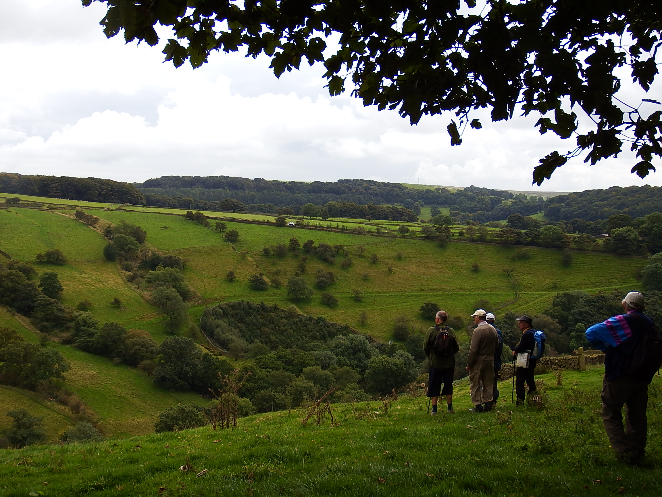
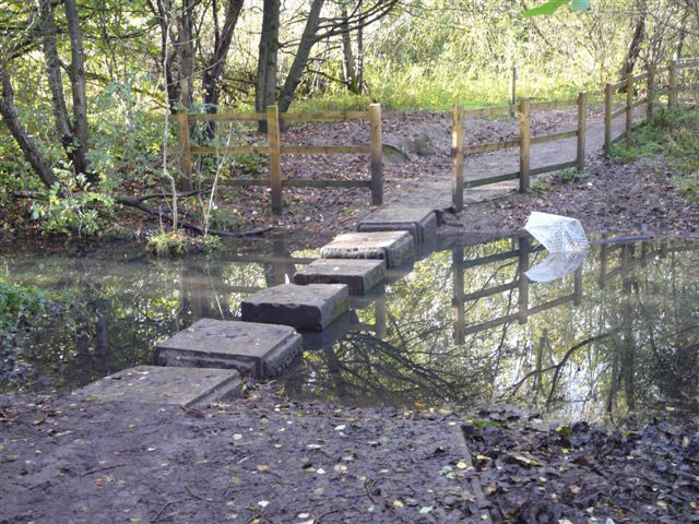
Walk report Tuesday Jan 10th 2017 Walter advertised a mystery walk, and discussed several possible alternatives to the group of 9, before confirming which to do. In view of recent rain and a misty day he proposed a walk in the wooded area on the far side of Fernilee Reservoir. First it was down Goyt Valley to Madscar Farm, then a short climb to Normanwood and Oldfield. The forest road was followed to Jep Clough, which was descended on an increasingly tricky path, to the water side, where we turned by the reservoir, passed by Deep Clough, and over the dam to our cars. A pleasant walk on the day, including 2 new paths; and afterwards 5 went on (by car!) to the Hanging Gate for good value pensioners lunches.
Walter Mason
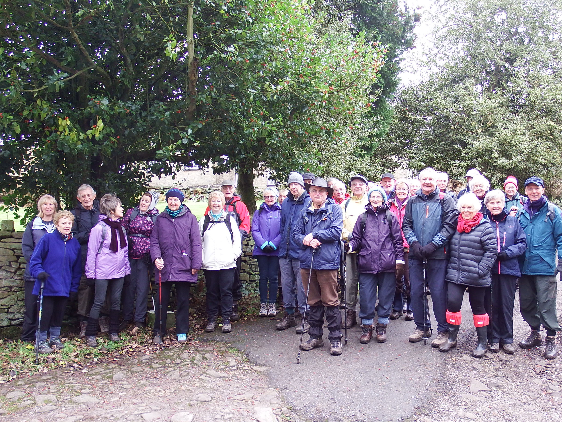
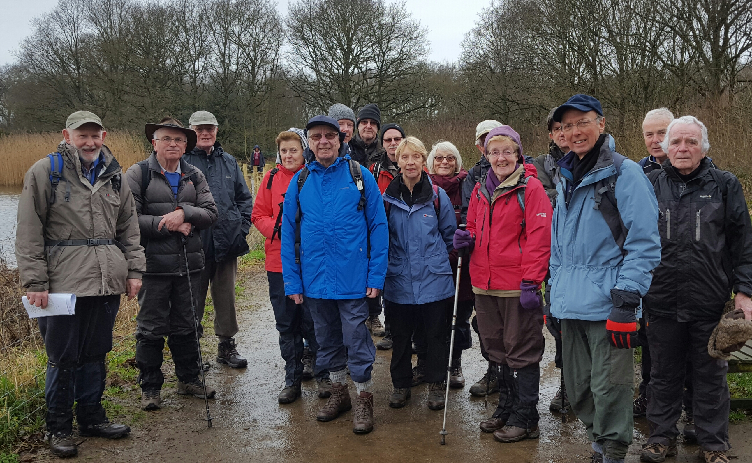
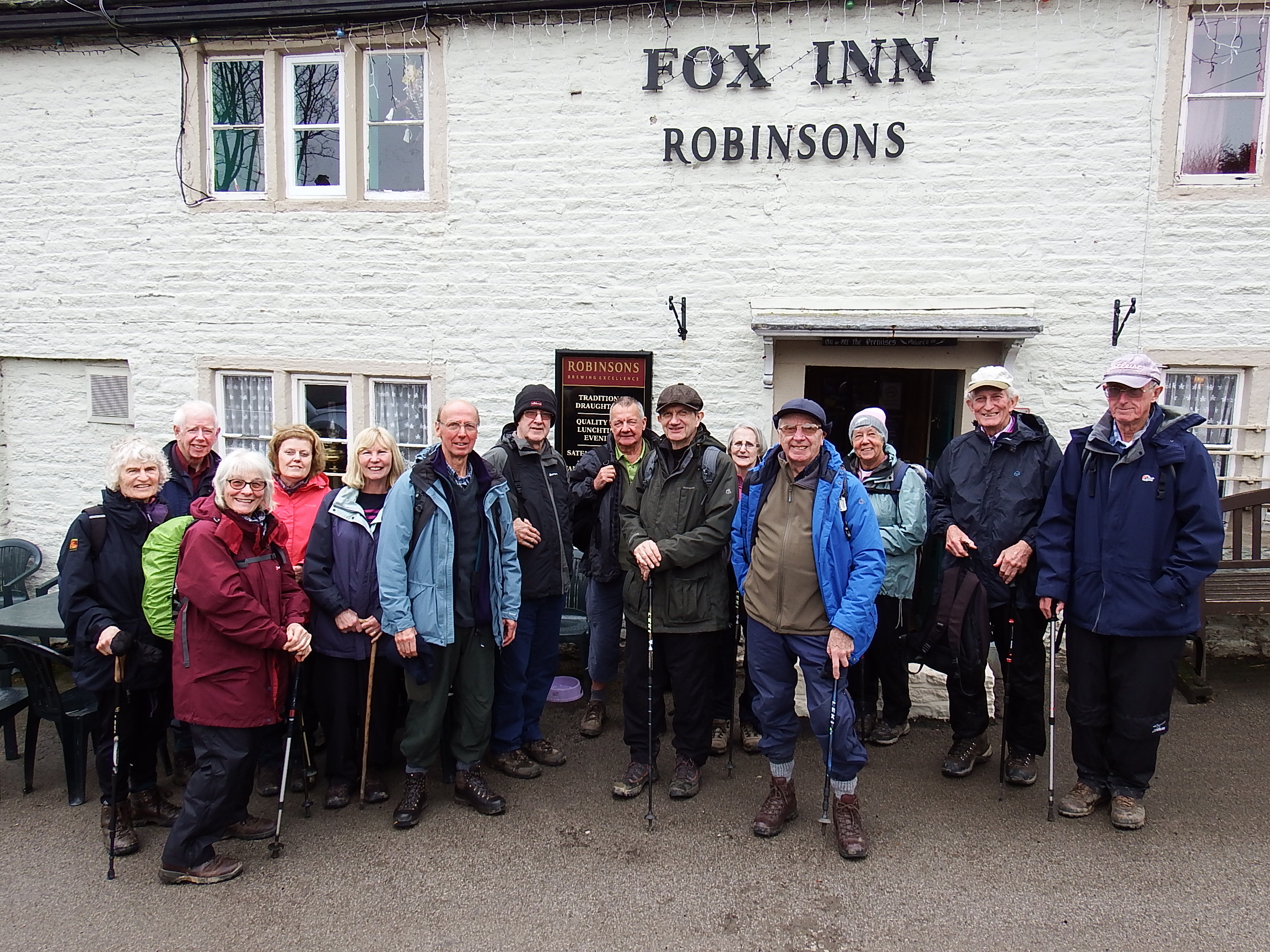
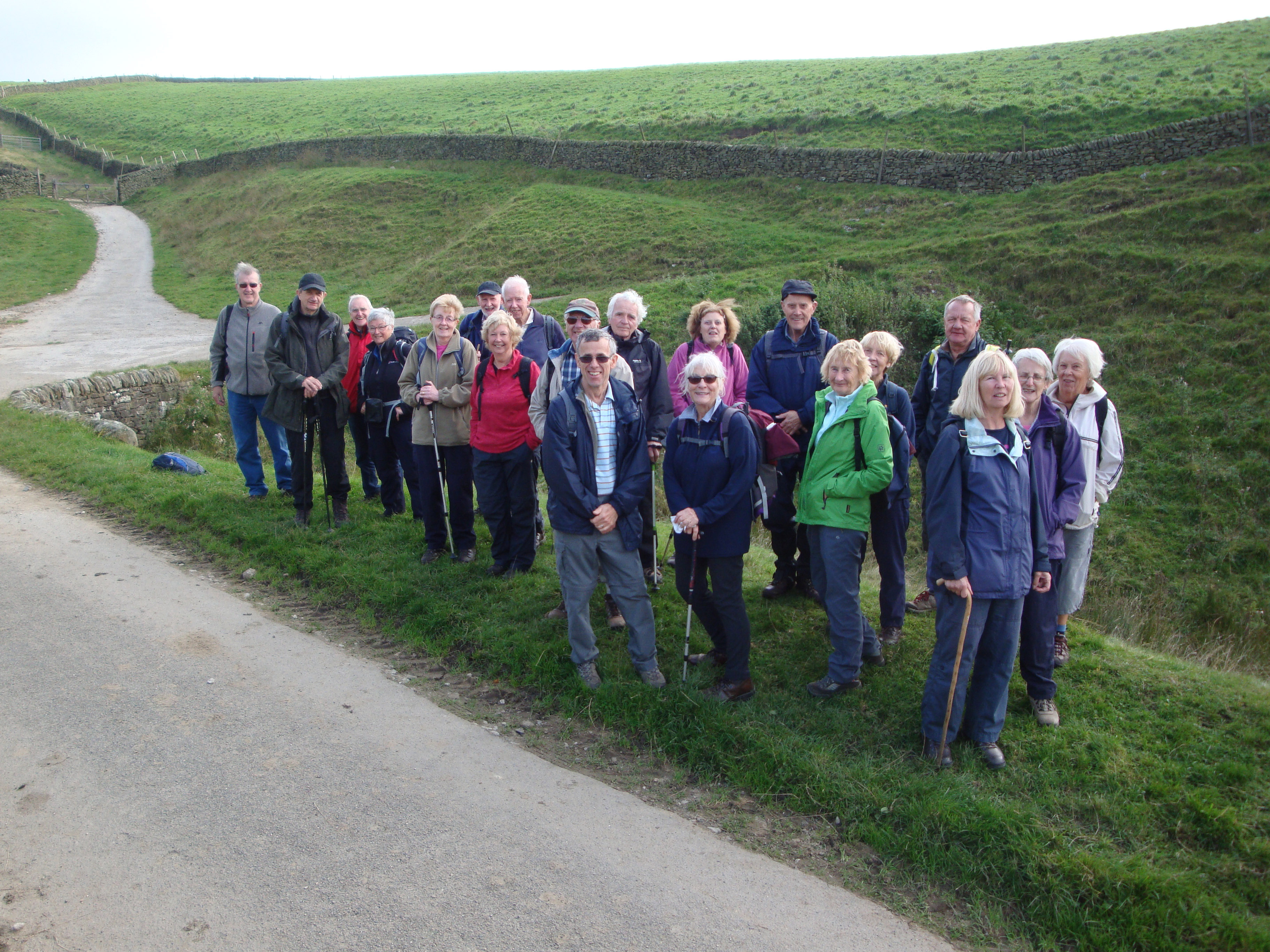
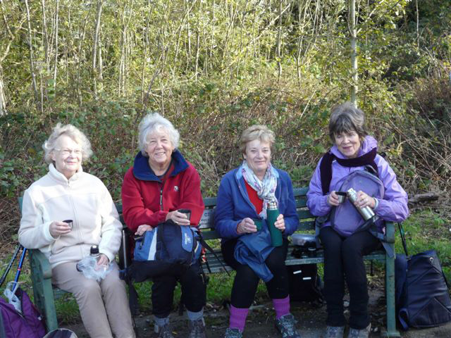
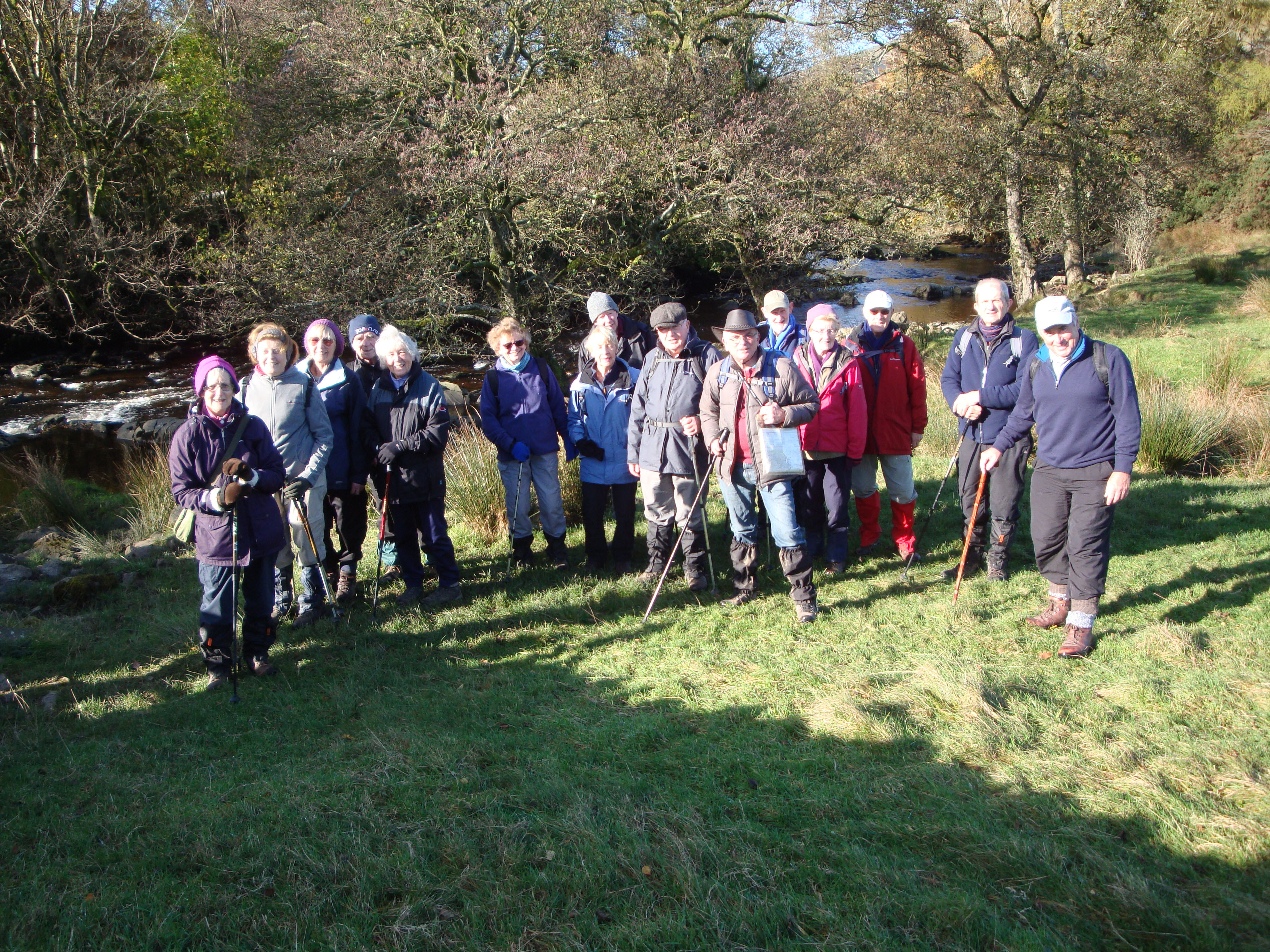
On Wednesday 25th January, Sam and Irene Chappell led 19 walkers (see photo) on a 6 mile walk from Dunham Massey NT. The sun was shinning and it was reasonably warm as the group set off from the deer park heading east towards Oldfield Brow. After leaving the park and crossing some fields we had a welcome coffee break in Dunham Town churchyard before setting off on the next leg of the walk which took us onto the Bridgwater Canal towpath and then for 1.5 mile along the Trans Pennine Trail to the village of Dunham Woodhouse. From here we headed south crossing over the River Bollin and under the Bridgwater canal to return to the Dunham Massey estate and our starting point.
Sam & Irene Chappell
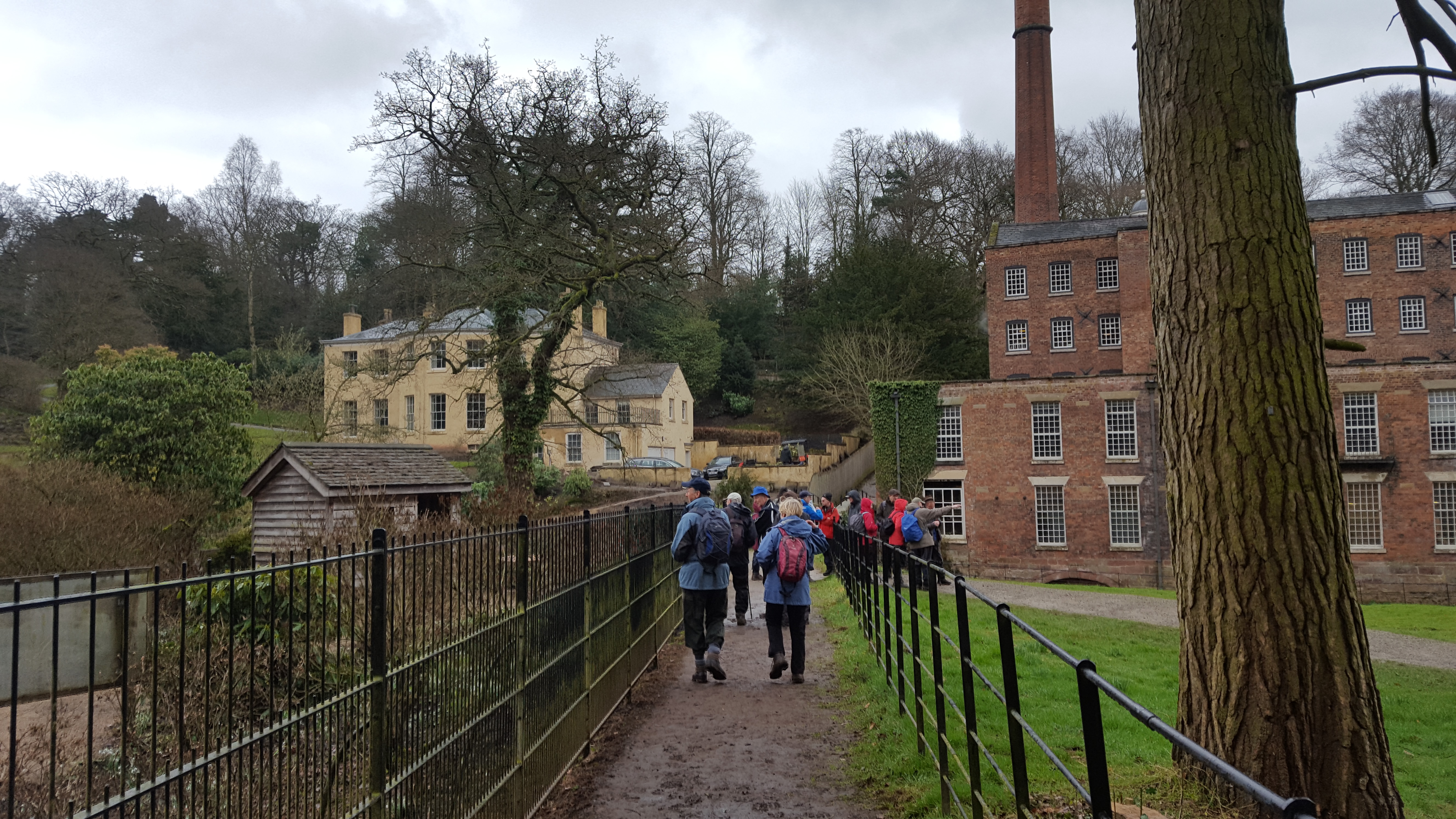
Merlyn and Joyce Young led members on a 6 mile walk around Lindow Common, Lindow Moss, Morley, Quarry Bank Mill and the river Bollin. Following heavy rain the night before, the forecast for the walk was variable with cloud, light showers and mud!
Despite the forecast and gloomy start 17 members turned up with boots, gaiters and waterproofs starting from Lindow Common car park Wilmslow. We walked through Lindow Common a SSSI (Site of Special Scientific Interest) and conservation area to “Black Lake. Merlyn gave a history of the site past and present; a Lowland Wet Heathland rich in flora and fauna now managed under Cheshire East County Council. Past days of common land for grazing cattle, peat extraction, model boating. Ice skating on Black lake and a Gypsy racecourse surrounding part of the area.
Weather still cloudy with occasional spots of rain we entered Lindow Moss following bridal paths and tracks criss-crossing the old salt-line routes through the area. The bog originally covered 1500 acres but has since shrunk to a tenth of the original size by encroachment of farms, peat extraction and dwellings.We passed near the area where “Lindow Pete” was discovered in 1984 carbon dated to 2000BC.
Next surprise was Ross Mere a lake which formed as result of sand excavation and is now leased by Prince Albert fishing club. This area appeared serene with green pasture and surrounding woodlands against the still water: alas the grass was too wet so coffee break was taken standing!
We crossed several fields leading to Morley Green but didn’t stop to visit the café/complex of Cheshire Smoke House. Following farm roads we next crossed the busy Altrincham Road to enter Quarry Bank Mill Estate for Lunch.
Rain had started but fortunately with some negotiation by Merlyn the National Trust allowed us to take our picnic lunch indoors. “A warm and dry tabled school seating room.” We returned following the River Bollin and old Track ways back to the car park.
David thanked Joyce & Merlyn on behalf of the group for an enjoyable and interesting walk.
Merlyn & Joyce Young
The walk started from Strines Recreation Ground car park. We walked along the River Goyt and then upwards past Strines station. Steady climbing took us towards the Banks where a right turn up a narrow path eventually brought us to Soldier Nob and the damaged Cross and a coffee stop. We were now at a height of around 1000 feet as we passed the trig point and headed across Mellor Moor with fine views of Cobden Edge to our left.
After reaching Boundary Cross we found a stile on Primrose Lane and crossed 3 fields before reaching Stony Piece. With New Mills Golf Club at Whitle ahead of us we took a right turn to walk in front of Shaw Farm and pick up the path to Brookbottom.
After sandwiches and a beer at the Fox Inn we walked gently downhill back to Strines to complete the 5 mile walk. David thanked Steve for leading what had proved a most enjoyable local walk.
Steve Reynolds
Ten of us met at Sparrowpit Village Hall for a walk led by Jeff Mortimer, which was slightly longer and more strenuous than usual.
Following the path past Rushup Farm, we came across a monument to the memory of a young man who had died at an early age. After a group photograph, we proceeded past Rushup Hall, crossing Sheffield Road to pick up the bridal path past Lord's Seat and onto the ridge of Rushup Edge, with glorious views to the north of Edale and Kinder, and views to the south of the limestone White Peak.
Descending to the disused quarry at Windy Knoll, we stopped to eat our packed lunch before continuing past some disused mine workings to pick up another bridle path which took us past Eldon Hill Quarries.
Continuing along a country lane, we turned left at a place called the Bull Pit, which we think denoted an entrance to an underground cave system. Passing more disused mine workings, we descended a steep slope before a short steep climb through woodland, continuing through woodland and across some fields, back the Village Hall.
Jeff Mortimer
On Wednesday 26th April Brian and Alison Allerton led a group of 21 walkers on a five mile walk from Whaley Bridge. It was a bright but chilly morning as the group left the cars on Long Hill, the road from Whaley Bridge to Buxton.
The old bridleway passed Shallcross Farm, now a cluster of holiday cottages and converted barns, then over the field to cross the line of the old Cromford and High Peak Railway line. This line was used mainly for the transportation of coal from Whaley and limestone from quarries in the surrounding Peak District.
At the junction of Elnor Lane and Old Road stands the remains of the shaft of a stone cross, traditionally dated to the year 832 when St Paulinus visited the area. Climbing quite steeply, the group then followed Long Lane, a rough track which circles Ladder Hill, providing spectacular views over Combs Reservoir and beyond, to Eccles Pike, with Chinley Churn in the distance. The footpath branched off to climb higher towards Wythen Lache, with excellent vistas towards Castle Naze (an Iron Age fort) and Combs Edge.
After a stop for lunch the path crossed the open moor and in a sudden squall of hailstones we dropped down into the hamlet of Fernilee, accompanied by the calls of a pair of curlews. We continued down to the River Goyt following it through Shallcross woods which were carpeted in wood anemones (too early for bluebells). A steep climb back up to Long Hill completed the walk.
Brian and Alison Allerton
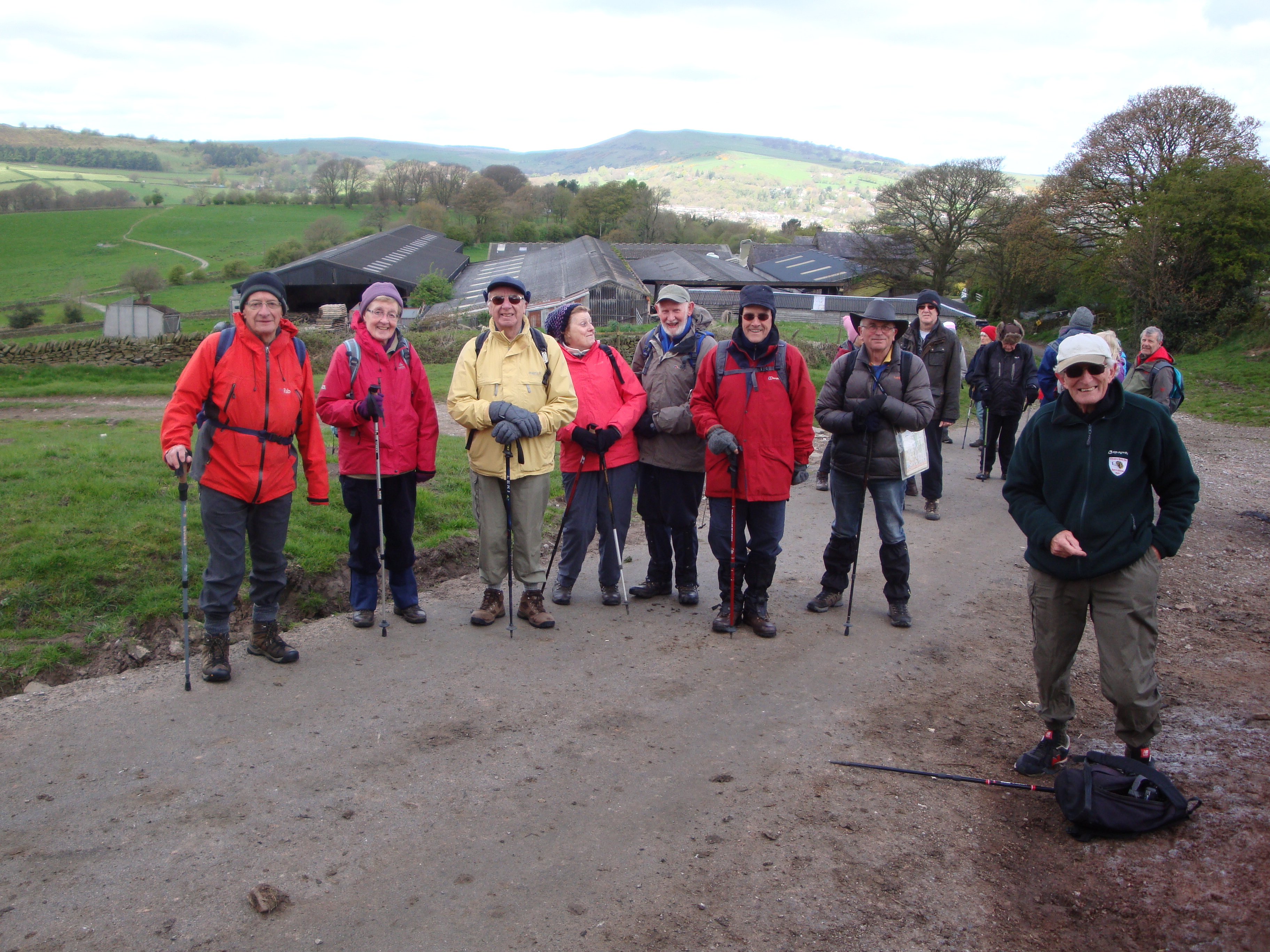
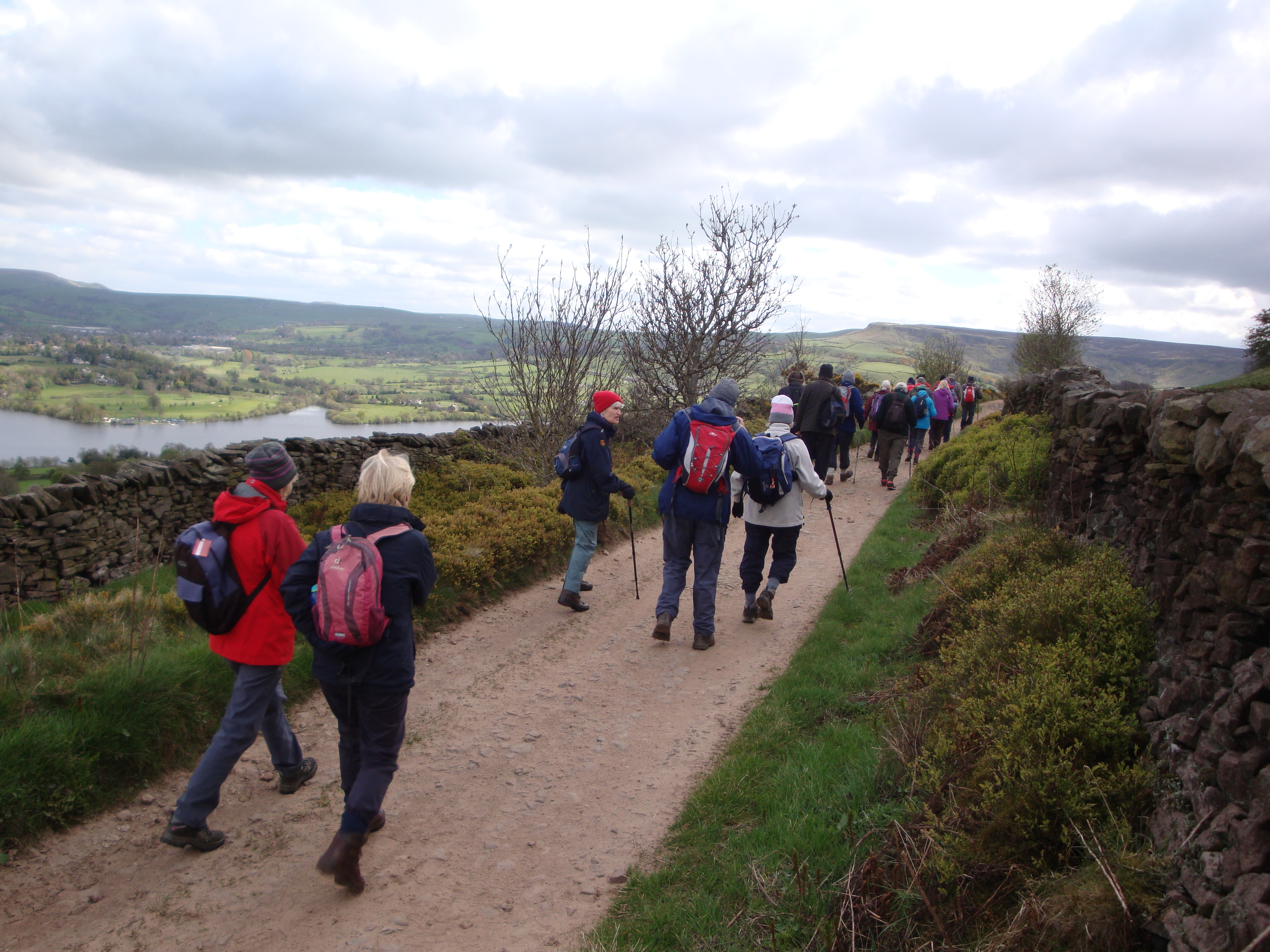
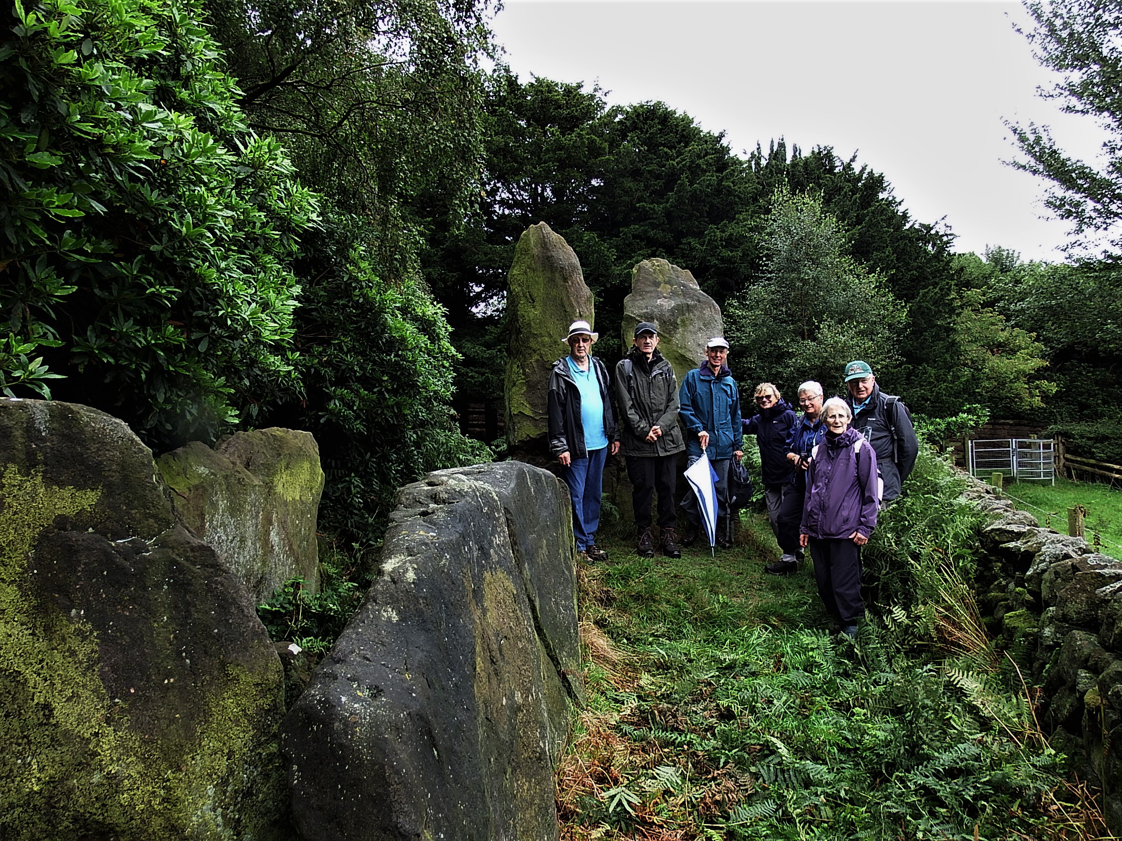
Twelve joined Walter’s 4 ½ mile walk from Dane Bridge.
This was a rare visit into Staffordshire, and the walk climbed through bluebell woods, passing below Hanging Stone, before ascending the lower section of the long undulating Roaches ridge with views all around and punctuated by occasional sounds of a cuckoo.
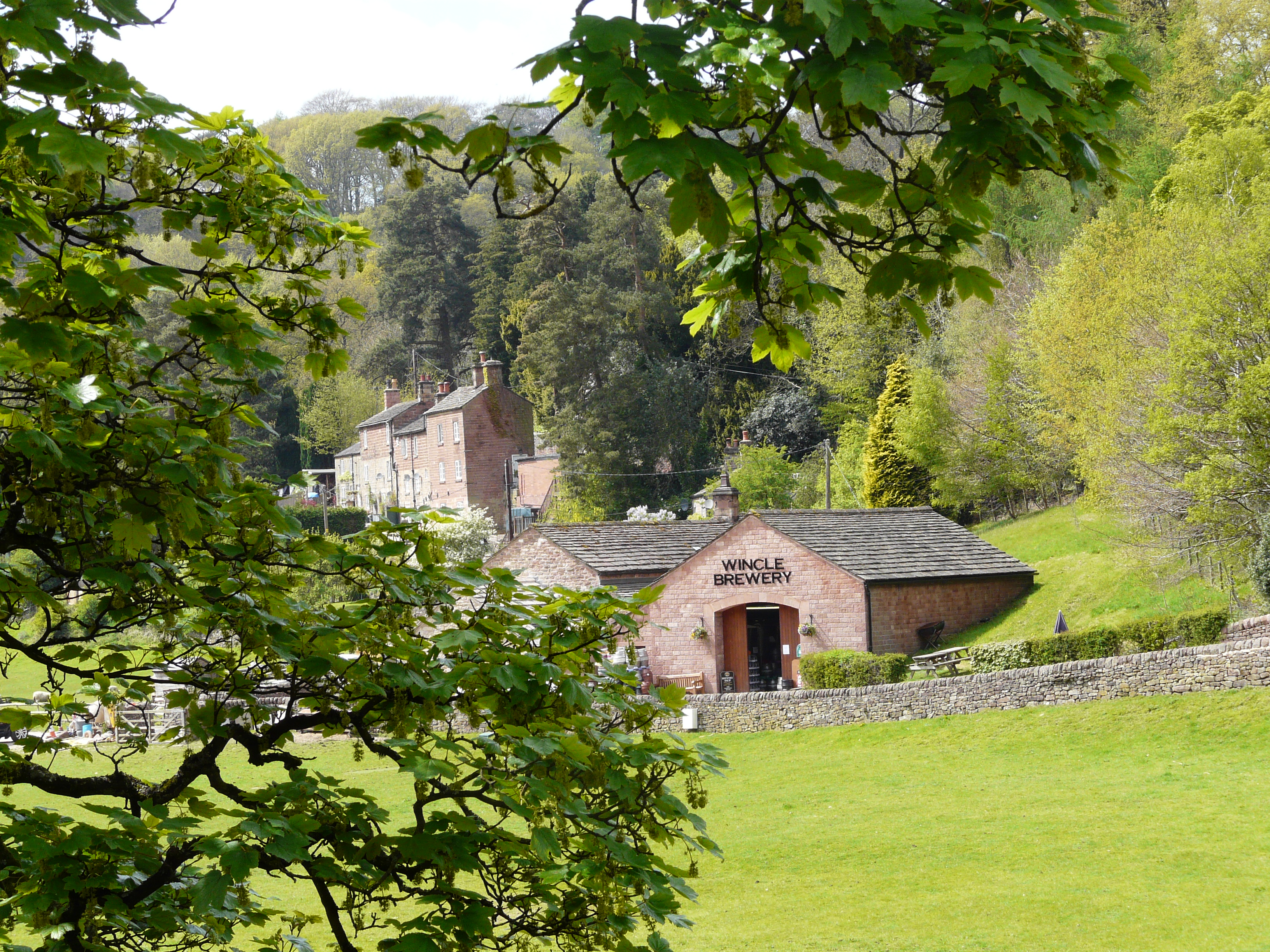
After a coffee stop above one of the rocky outcrops, we descended through Back Forest, ignoring the Lud’s Church path, and joined the wooded path from Roach End leading to Castle Cliff Rocks and an idyllic lunch stop as the sun warmed us. With wimberries/bilberries all around (but no wallabies any longer!) we gradually continued to the Hanging Stone, then skirted round Swythamley Hall, interesting wild flowers around, until turning sharply at Snipe Farm and going down towards the Wincle Microbrewery and Trout Farm.
All seemed to enjoy the route, especially as few had been on the paths and tracks before!
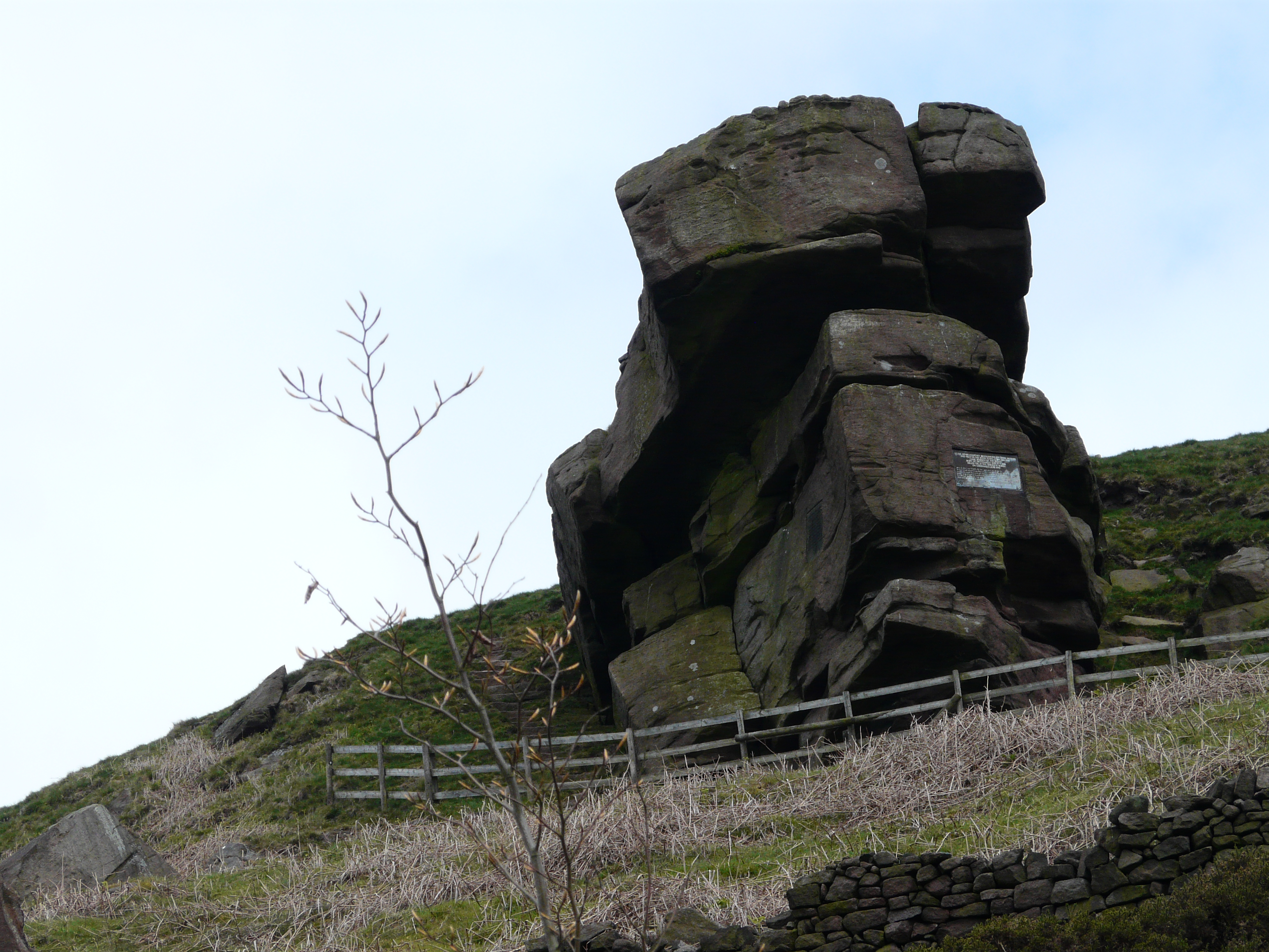
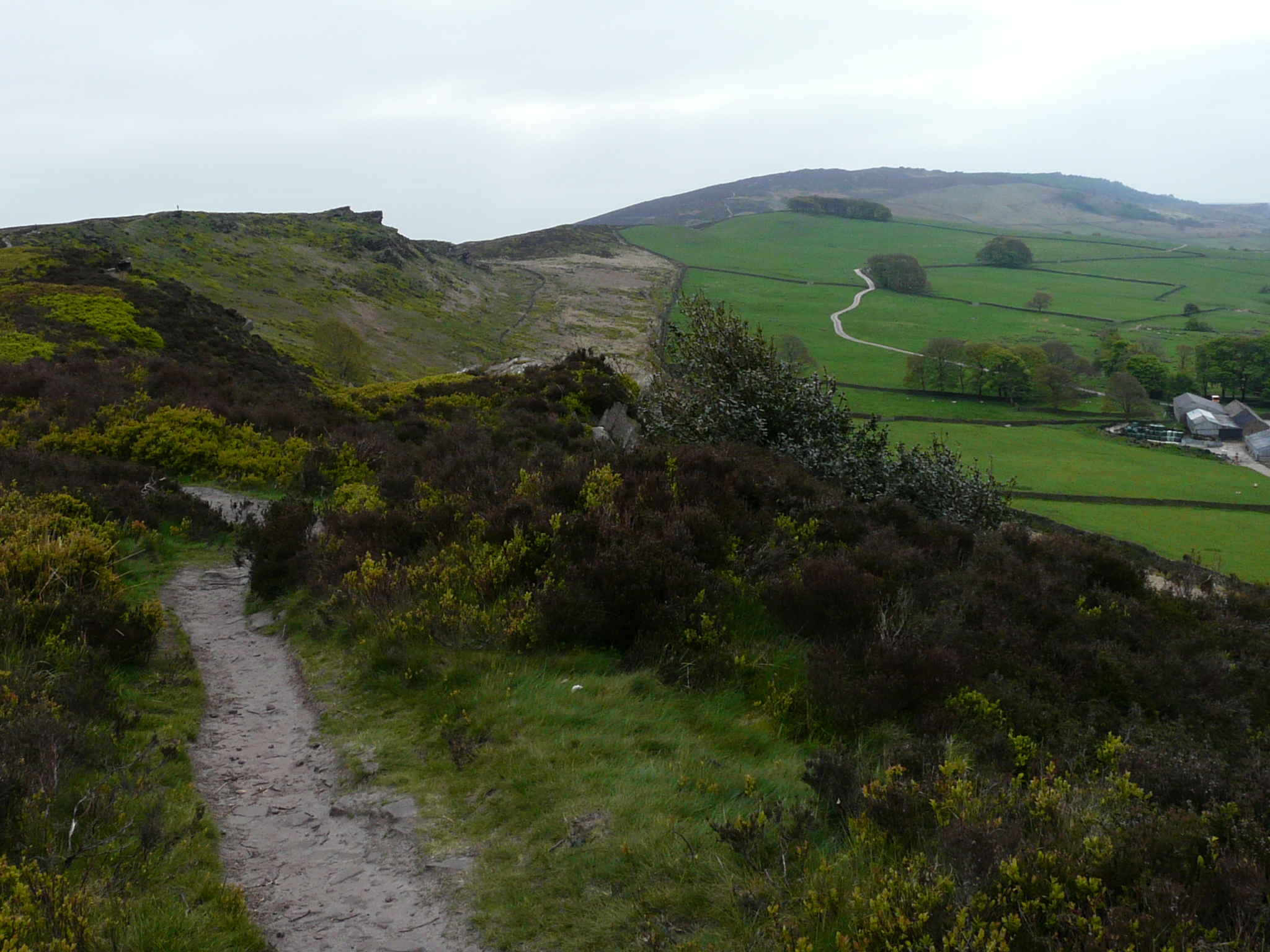
Walter Mason
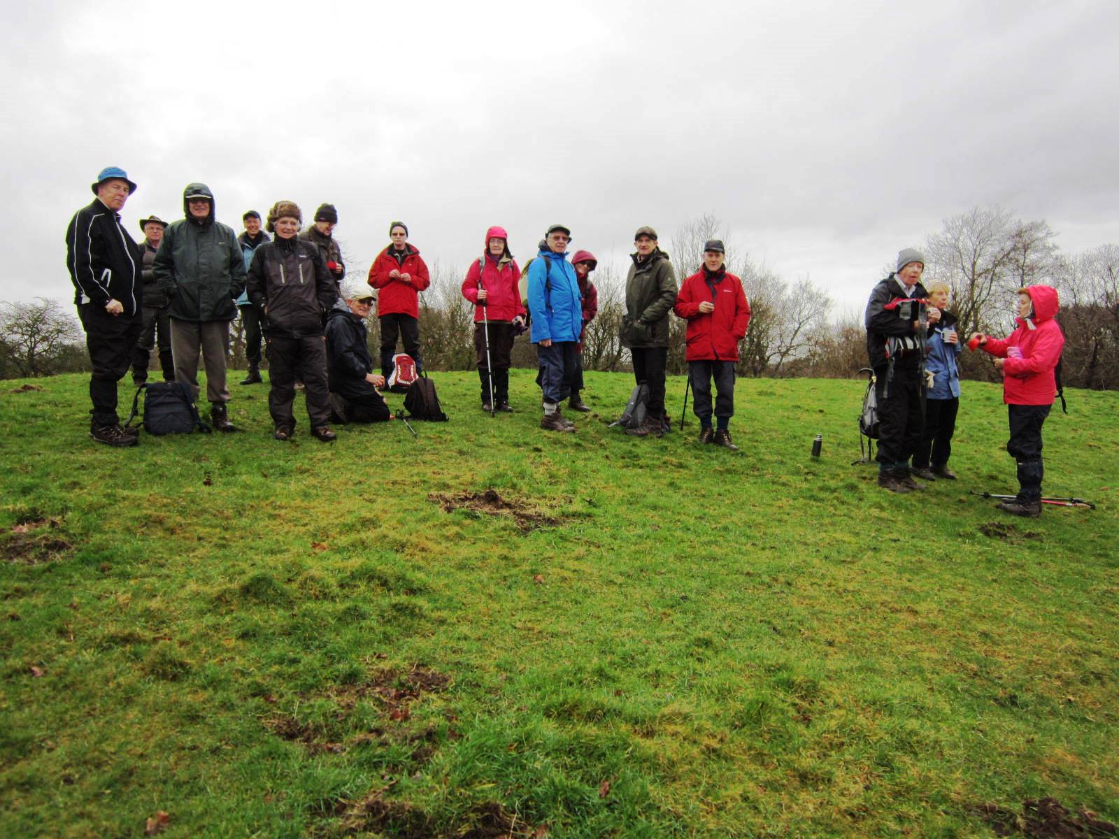
Fourteen walkers met at the Timbersbrook picnic car park for a seven mile walk up and around “Bosley Cloud".
Merlyn gave the history of the water powered silk mill on this site from 1777 and the later Silver Springs Bleaching and Dyeing Company powered by steam and employing 200 people. Following the war years the business declined and closed in 1961. Congleton Council cleared the site and opened the picnic area in 1980.
Joyce started the walk up the “Cloud” along lanes, bridle paths, through woodland and stony heathland to reach the trig point. Tree cover provided welcome shade as we ascended enjoying the rich flora of the hedgerows with scattering of wild flowers and bird calls. A buzzard was seen as we approached the higher tree line.
Trig point reached at 343m above sea level with 174m relative height gained. Congratulations to all on the hill bagging a “Marilyn”. We enjoyed a refreshment stop and admired the 360 degree panoramic views of Peak District landmarks and the Cheshire plain. Refreshed, we descended along the cloud edge and steps to the road below, then across fields and minor road making our way to the river Dane. A short bridle path led us towards the canal and the only section of mud to cross. Not too difficult, boots mostly clean and one past leader successfully takes a high-level route.
Lunch stop was taken on the walkway adjacent to the canal overflow spillway with good seats for all. Still hot and sunny with hills and canal views, we watched a canal trust member carrying out weed clearance on the spillway. A few members went to admire the canal aqueduct over the river Dane and marvelled at its construction using gritstone blocks from the “Cloud Quarries.”
An easy flat walk next along the canal towpath we admiring the rich bank side vegetation and the multi-coloured plastic cow at Crossley Hall Farm.
Leaving the canal on a short section of tarmacadam we then made our way back across a few fields with Merlyn kindly pruning the vegetation around the stiles. On the last stretch we passed through an animal sanctuary before following the country lane back to the carpark.
Group Leader David gave his thanks to Joyce and Merlyn for aninteresting walk with something for everyone to enjoy.

Merlyn Young
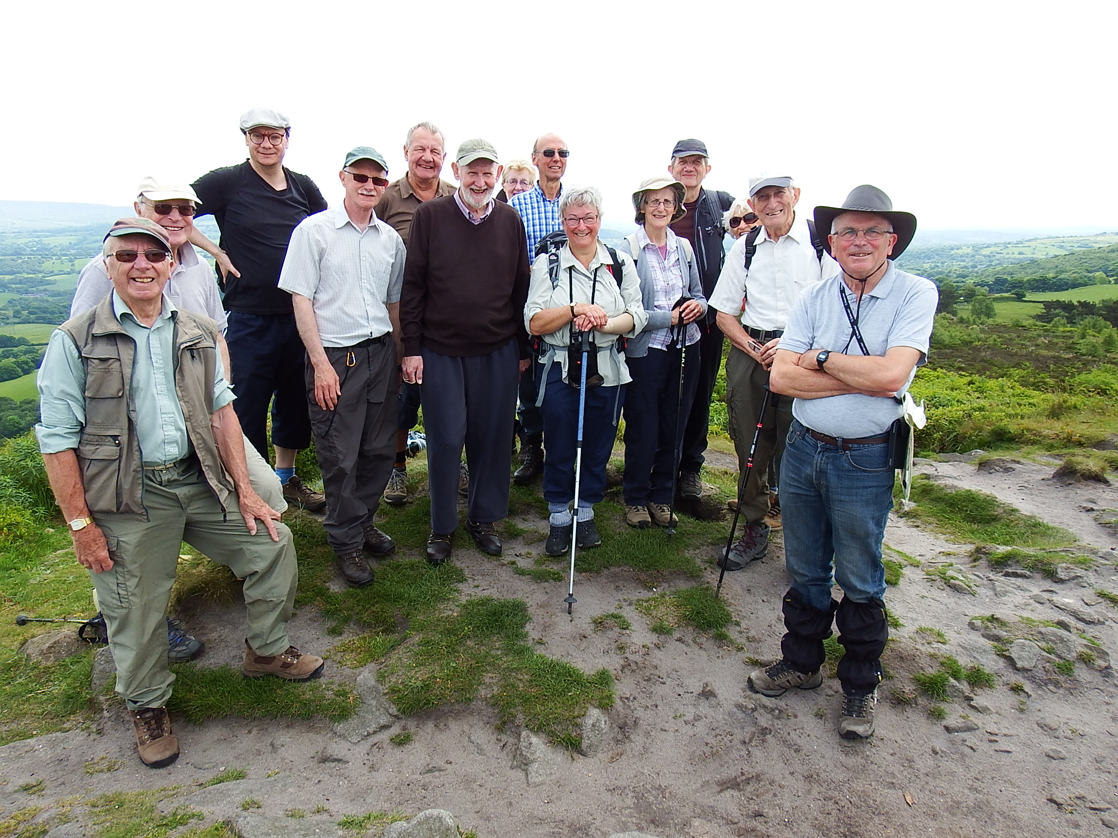
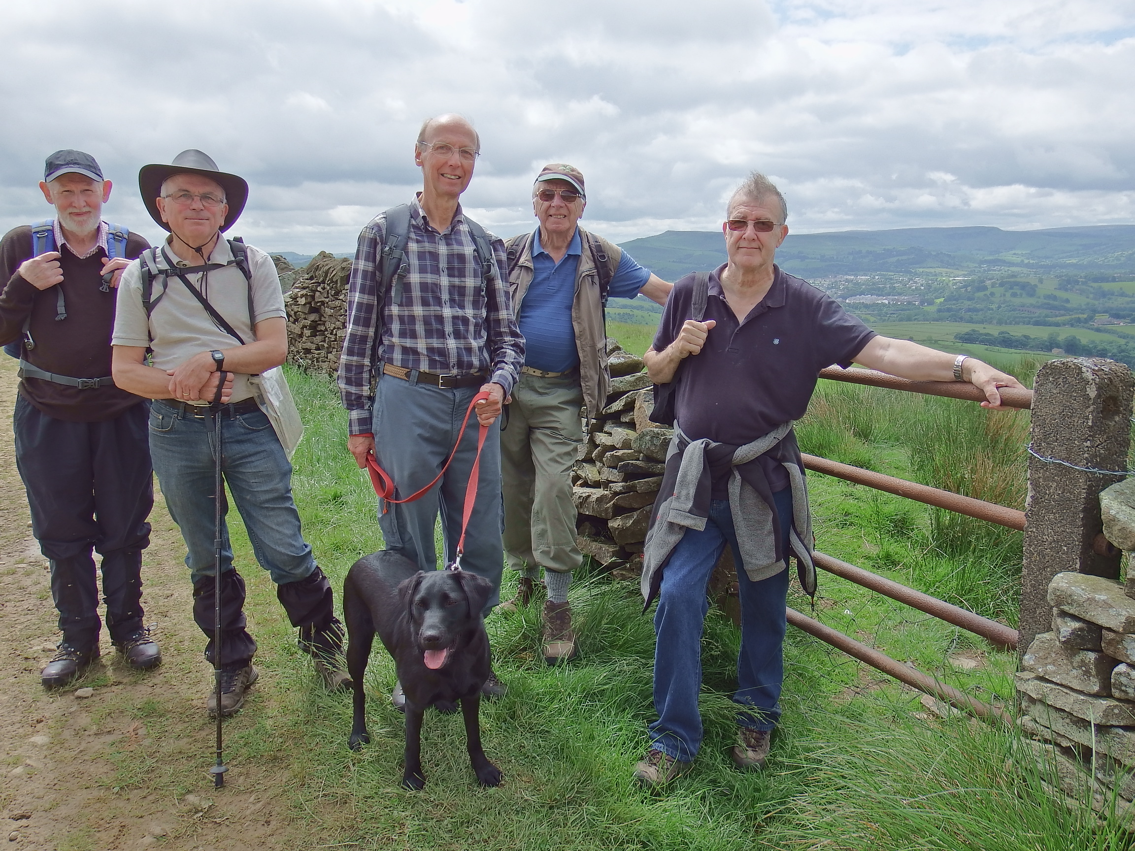
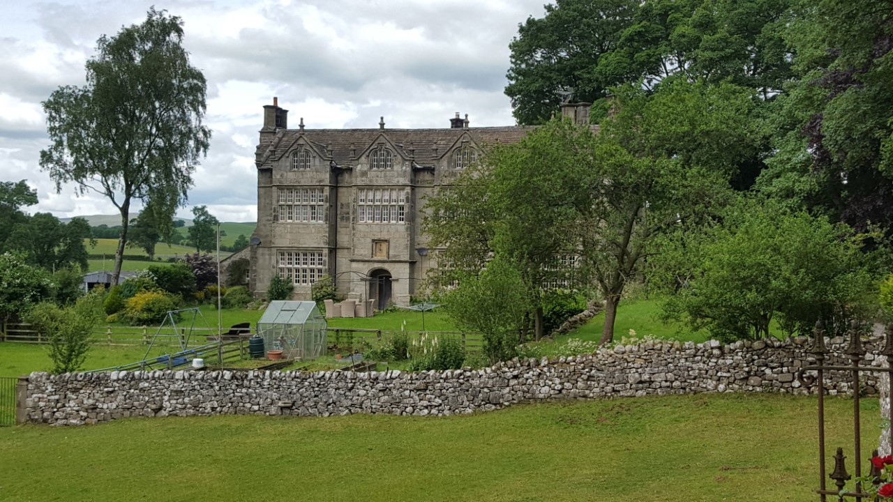
On Tuesday 13th June David Burke led a group of six, plus one young Black Labrador on a 5.5 mile walk from the Hamlet of Ford near Chapel-en-le-Frith. Ford is believed to be the oldest part of Chapel. It was on the Salt Way from Cheshire to Yorkshire. Ford Hall dates back to at least the reign of Henry III (1216-1272)
It was a grey morning with a pleasant south westerly breeze, excellent visibility which later improved further with the arrival of sunny intervals. We parked in the grounds of Ford House and walked along a single track lane to Malcoff, where David drew attention to a 1702 cottage with a historic religious connection. We left the lane and took to a grassy path which led to a sturdy stone bridge over the mainline Manchester to Sheffield railway, with an excellent view of the entrance to the 2.1 miles long Cowburn Tunnel, built in 1891.
A steep climb towards Shireoaks Farm silenced the enthusiastic chatter amongst the group until higher ground rewarded us with a spot to rest and an excellent panorama in crystal clear conditions. We followed the old bridleway towards Hayfield until we reached the Eastern flank of South Head. An excellent place to stop for coffee, survey the fabulous views around Chapel and take our group photograph. Several Curlews were busy in the area, we witnessed a flying display with bird song accompaniment.
Our onward route now proceeded Southward along Sheepfold to Beet Farm. At Upper Fold we left the lane and headed due South over little used paths, with knee length grass, which led to Breckhead, where we had our picnic lunch. Here the young Labrador was allowed to explore off the leash to her delight. Our walk then went through the hamlet of Wash and joined one of the writer's favourite local paths along the valley bottom, following the river, a tributary of Black Brook, towards Cornheys Farm and beyond to join the single track lane back to Malcoff and Ford. The hamlet of Ford still thrives after eight centuries, it certainly has a timeless feel about it!
On the way home some of the group stopped at a local hostelry and enjoyed a beer, whilst sitting in the sun. We were without the Labrador, she's under age, so she stayed at home at Ford House!
David Burke
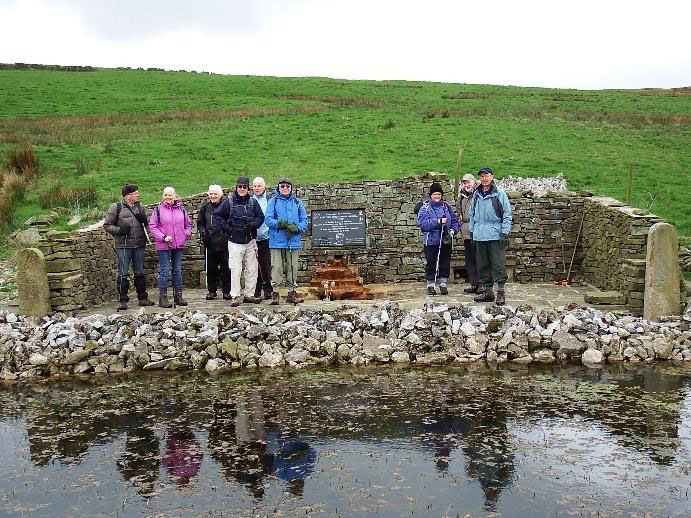
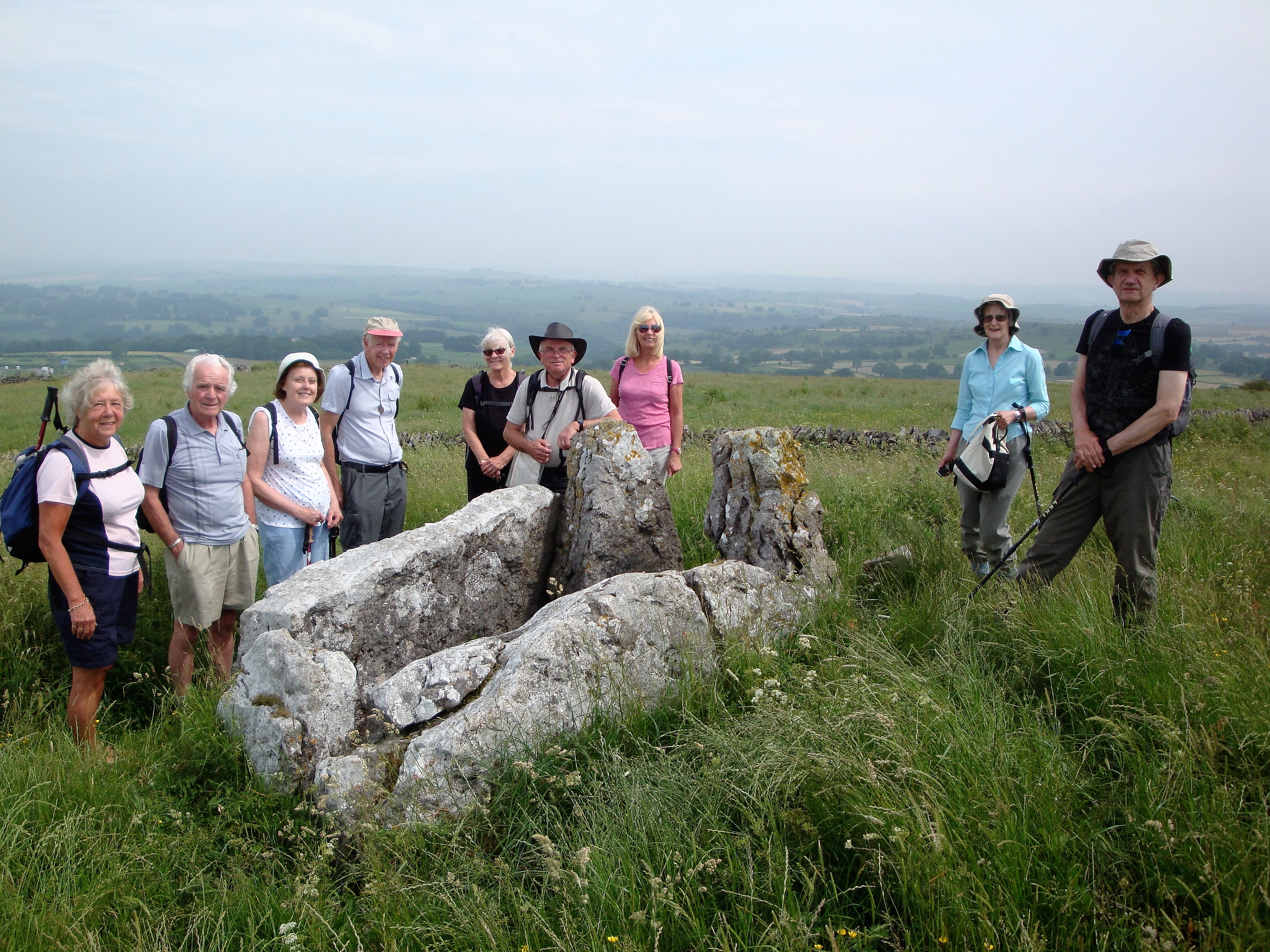
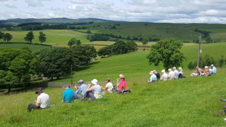
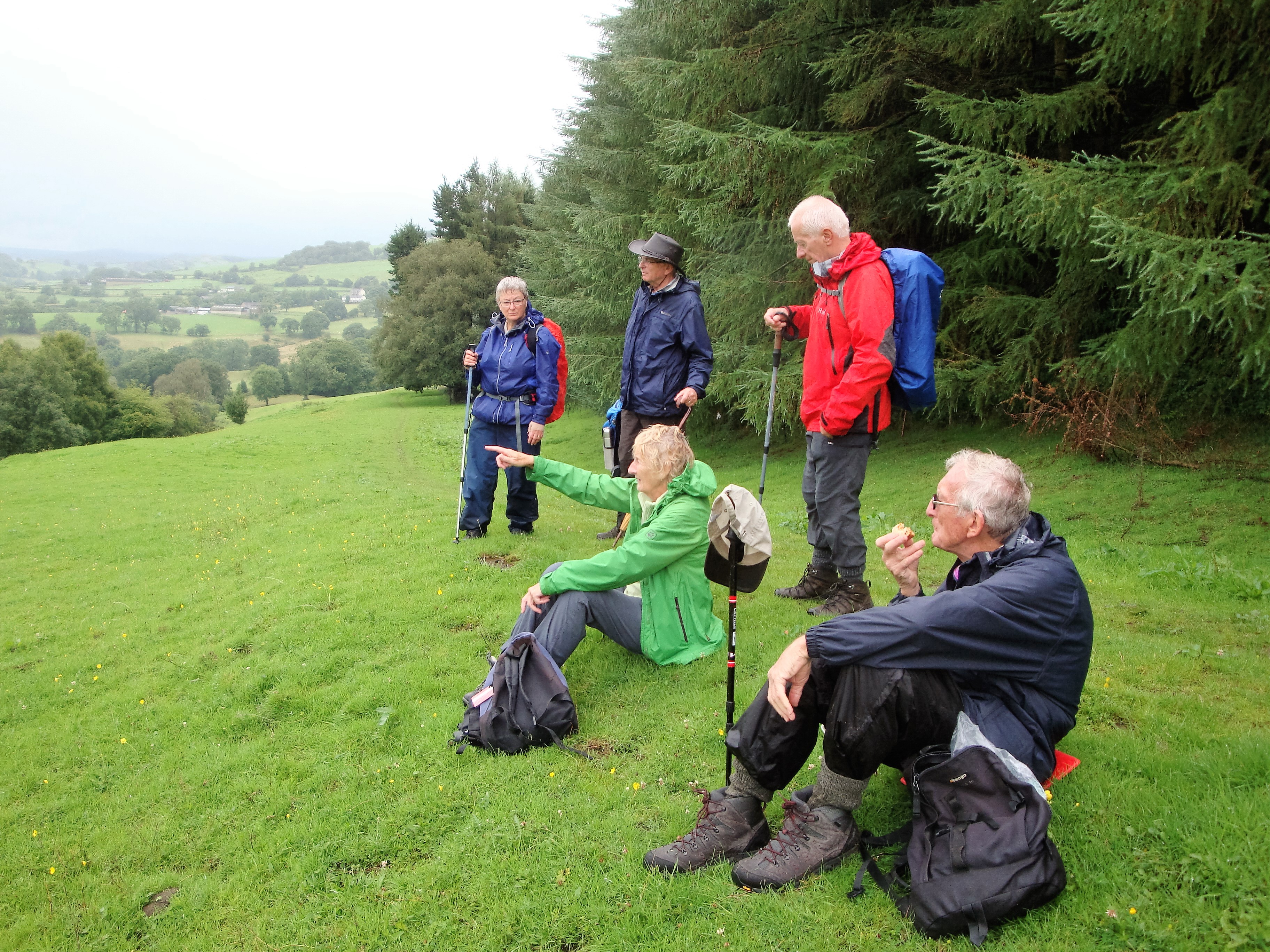
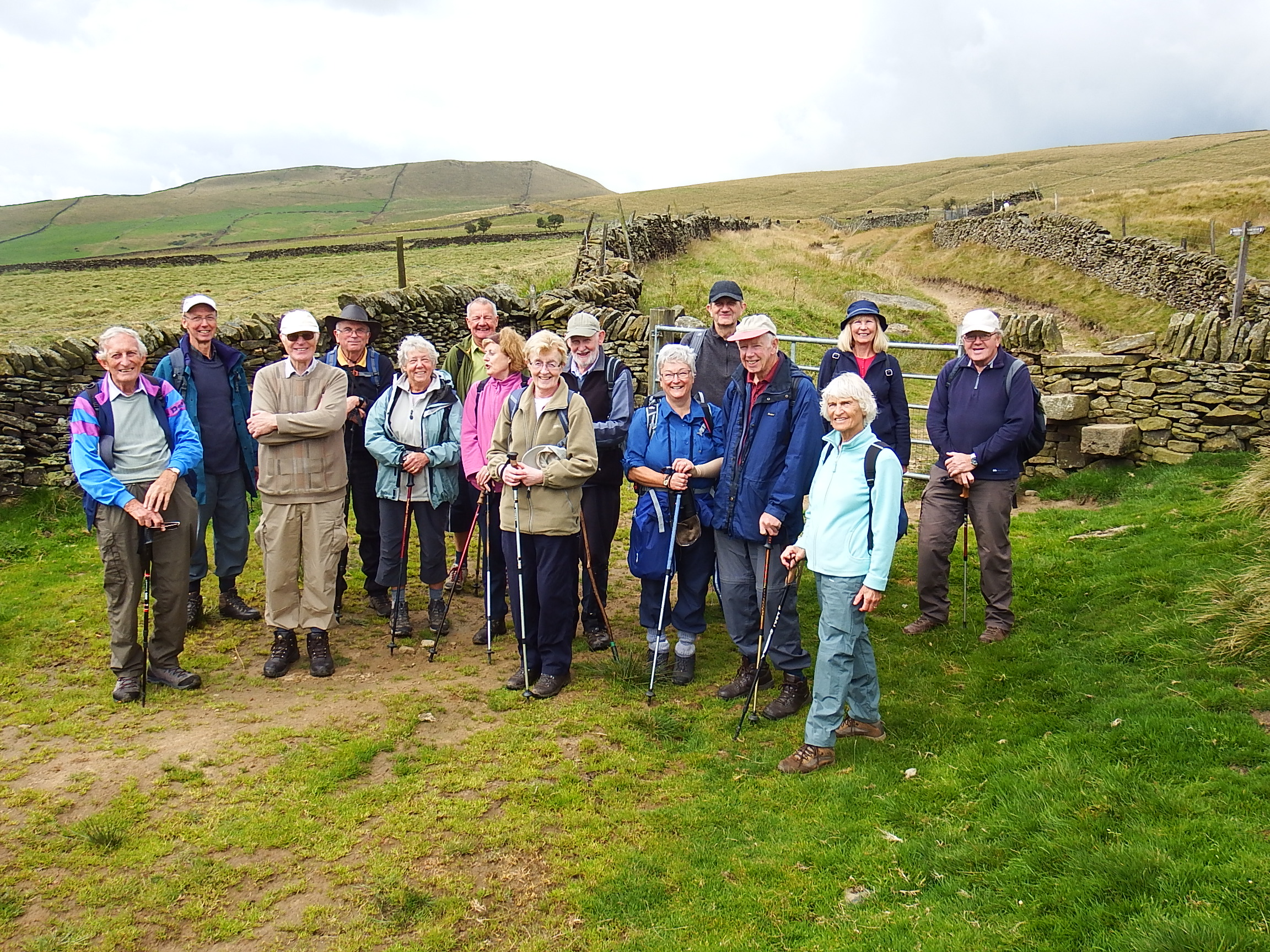
Ten of us met in the small village of Chelmorton for a 6-mile triangular walk via Taddington and Flagg.
Passing the 13th century church dedicated to St. John the Baptist, we noted the unusual weather vane in the form of a locust. We then passed the spring which, until recently provided water for the village. The spring was apparently known by locals as “Illy Willy Water”.
Proceeding cross country, we made a short diversion to the Five Wells Chambered Cairn, which was once a substantial 70 ft. diameter Neolithic tomb. Now only the remains of two burial chambers remain, as most of the stones were removed for buildings 200 years ago. Apparently when it was excavated in the 19th century, the remains of 12 skeletons were found.
We then retraced our steps and continued towards Taddington, negotiating numerous stone stiles on the way. After skirting Taddington, we climbed via a country lane until we picked up a path through very pleasant meadow. We then met a lady whose dog who had obviously been in some water. The lady directed us to a small pool, which was not on the map. This pool was clearly well maintained as it was surrounded by a fence and had a garden seat which was welcomed by some. We took the opportunity to eat our packed lunch there, whilst admiring the numerous blue damsel flies which were darting and hovering around.
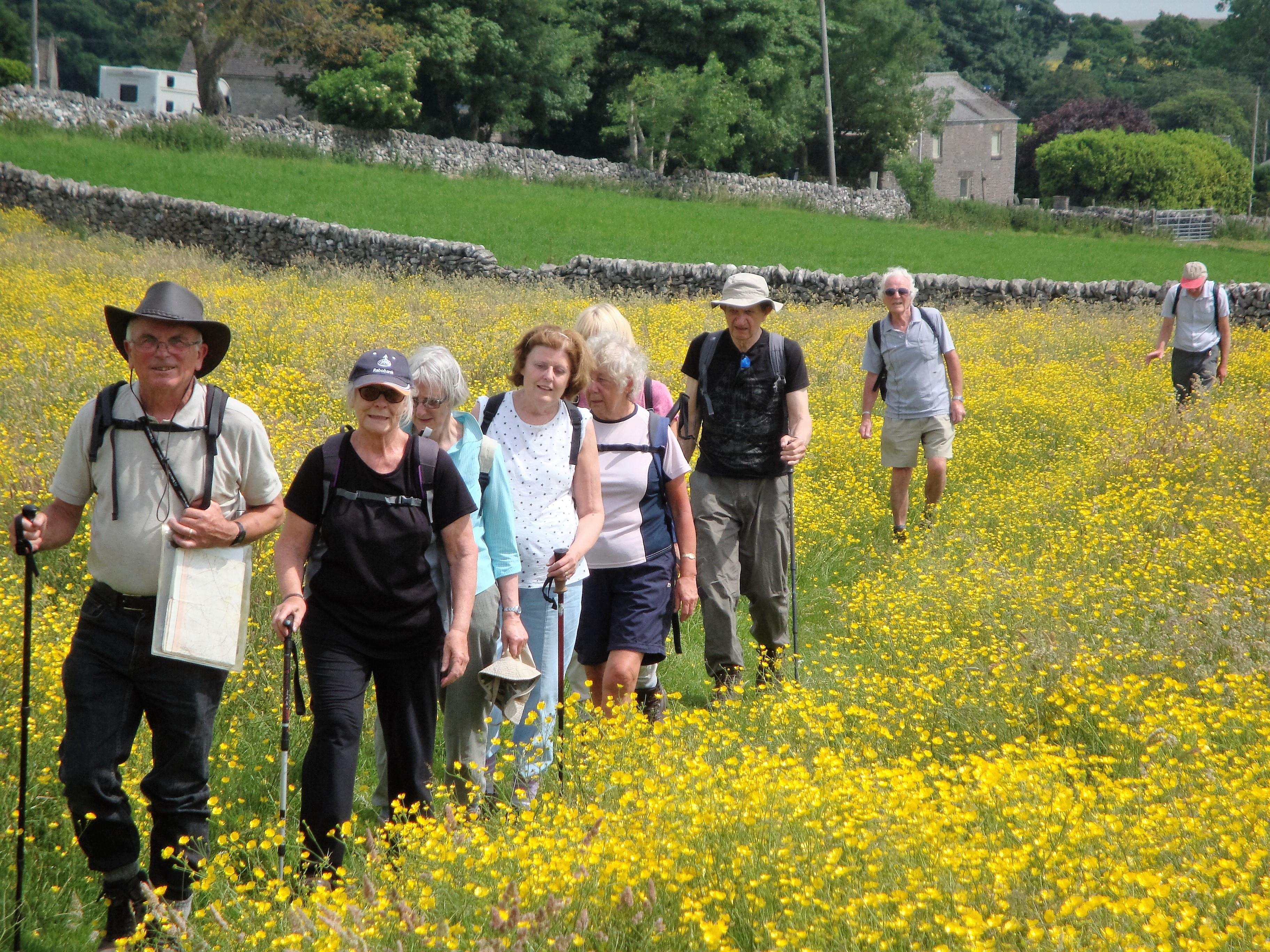
We then continued towards Flagg, a village noted for its point-to-point steeplechase races held each Easter. After proceeding along the only street in Flagg, we crossed a delightful meadow, rich in buttercups and other wild flowers, until we reached a farm where we picked up another path over fields which returned us to Chelmorton.
On arrival at our starting point, we were very grateful to note that we had parked near the Church Inn, where we all enjoyed some cool refreshments before returning home.
Jeff Mortimer
WALKING HOLIDAY REPORT JUNE 25/26/27th 2017
For this years Walking Away Holiday the Walking Group stayed at the Rendezvous Hotel, Skipton, situated alongside the Leeds & Liverpool canal towpath about 1 mile from Skipton town centre. The service, rooms and food including packed lunches, provided by the hotel were considered very good by our group.
On the Sunday morning we travelled up to Hebden Bridge through thick mist at times to meet at the NT carpark at Midgehole (aptly named as midges were out in force and biting) Merlyn and Joyce then led 24 of us on a 3 mile circular riverbank walk alongside Hebden Beck and up to Gibson Mill (NT) for our lunch time destination, by which time the rain had stopped . Merlyn had organised a guide to take a party round this old cotton mill while a second smaller party went on to climb up to Hardcastle Crags.
After-dinner entertainment at the hotel on Sunday evening was provided by Walter Mason who revisited some of our walking groups most memorable walks and personalities with a humorous talk based on his last 11 years as leader of the group.
The main walk on Monday led by Sam and Irene with assistance from Merlyn and Joyce, attracted 23 members of the group on a lovely sunny day for a 6.5 mile walk from the village of Gargrave. The scenic and varied route took us along the towpath of the Leeds & Liverpool canal, across fields, down quiet lanes and through woods, passing on the way, three great houses; Eshton House, Flasby Hall and Friars Head. Our lunch stop for the walk was next to a group of 'Giants Graves' ' or 'Pillow Mounds' as they are shown on the map. Back in Gargrave the beer garden at the Old Swan Inn was a most agreeable venue for cold beers all round.
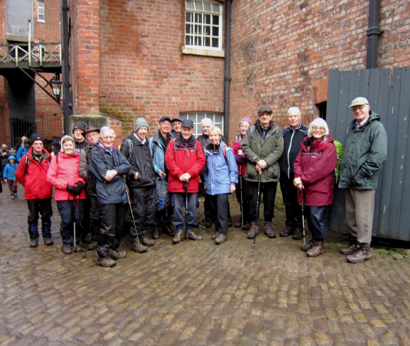
Tuesday morning began with heavy rain but this eased sufficiently for 14 walkers to complete a 4.25 mile walk from the hotel along the canal towpath into Skipton Town and on to complete a circular walk in historic Skipton Woods.
Sam & Irene Merlyn & Joyce
Six intrepid members of the walking group, led by Brian and Alison, set off in pouring rain to explore the forest in the Goyt Valley. This walk replaced the planned walk around Minninglow / Roystone Grange.
The weather conditions did not spoil the beauty of the scenery (when we could see it!) or dampen our spirits. The trees were magnificent in their greenery. We came across a poor little mole who had obviously been washed out of his home and spotted a heron flying down the valley.
The sun came out briefly at lunchtime and we were able to complete the walk back to Fernilee Reservoir in reasonably dry conditions.
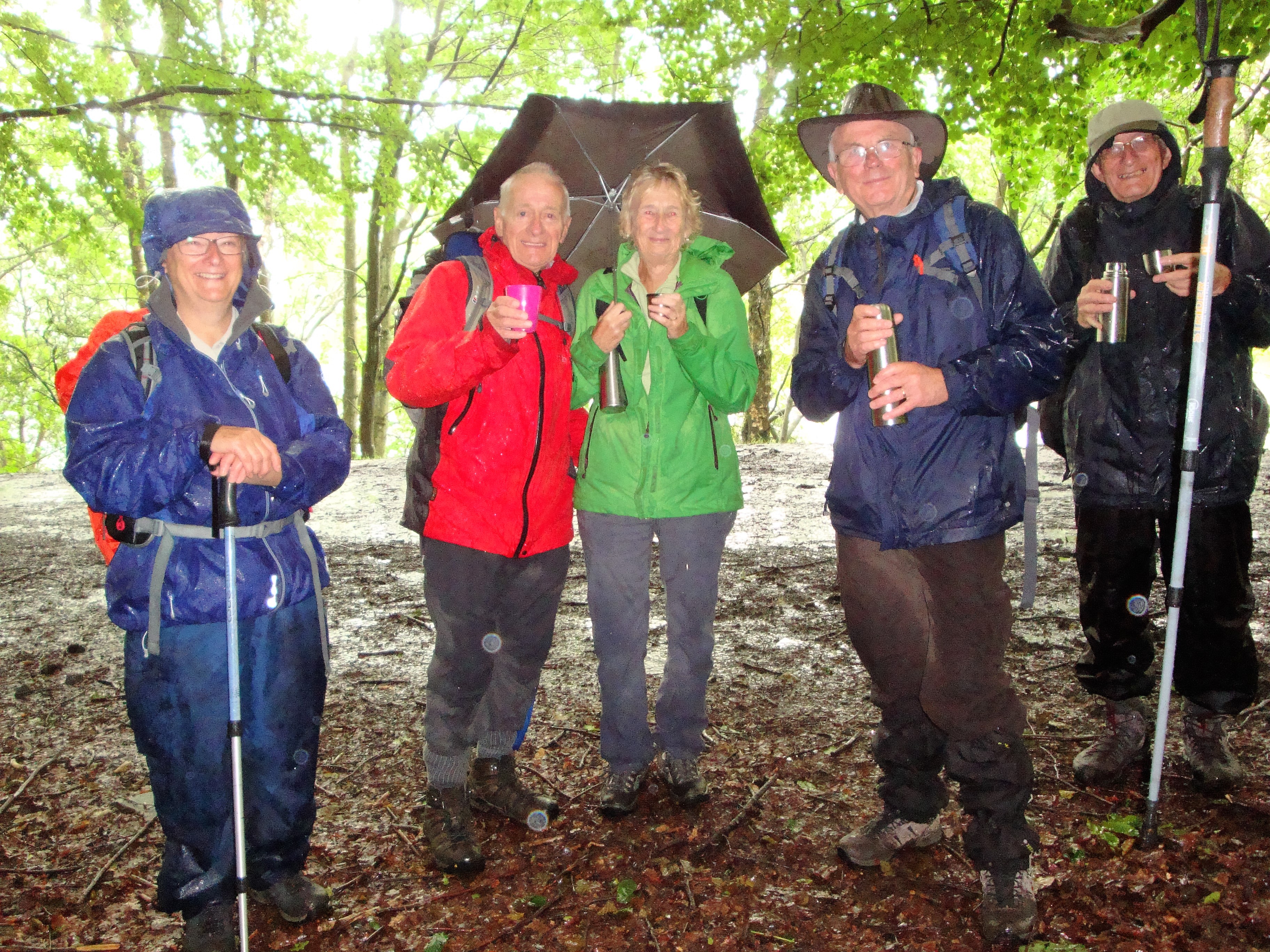
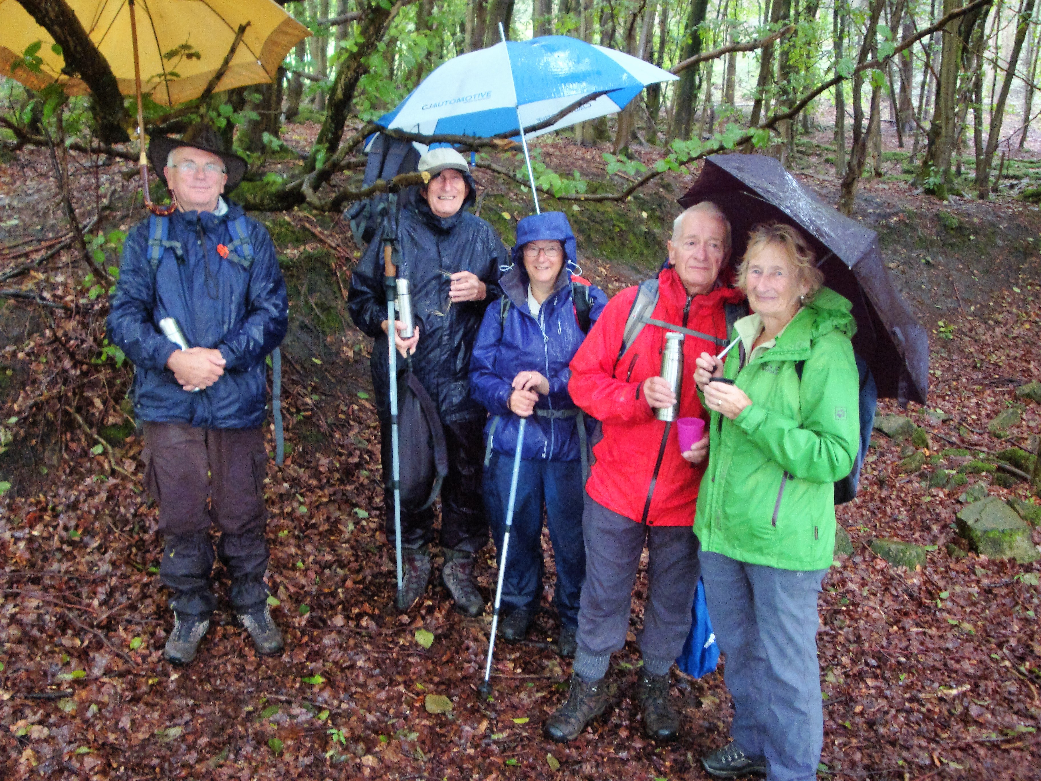
Brian Allerton
Timbersbrook and The Cloud
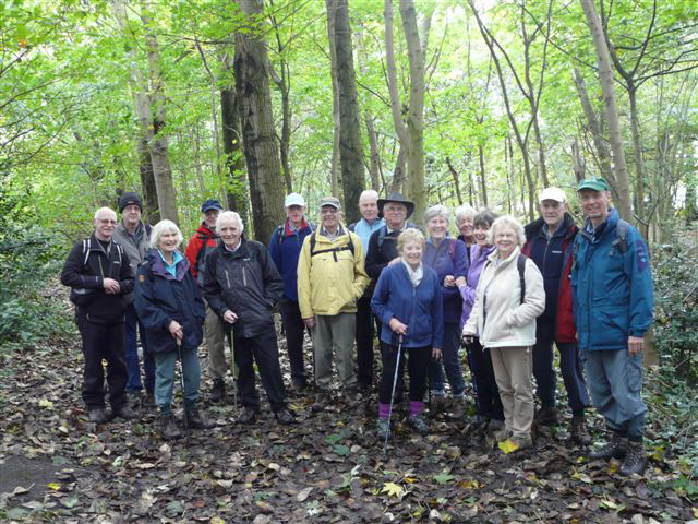
Eight of us met at the Timbersbrook picnic area car park, the site of the former Silver Springs Bleaching and Dyeing Company Works, now a popular recreation area, for a six mile walk. The first two and a half miles took us across field paths and a short stretch along the canal. Despite the recent heavy rain we didn’t encounter too much mud. We then made the steady and relatively easy climb to the summit of The Cloud. Lunch was taken sitting round the trig point admiring the views and identifying local landmarks. The descent was much shorter down some relatively steep steps. We then passed the Cloudside Shooting Club and continued along the road, making a brief detour to examine the Neolithic burial chamber known as the Bridestones.The Bridestones was once an incredible monument, perhaps unique in England, but ransacking on a massive scale in 1764 to build a turnpike road and then later the nearby house and farm and subsequent removals has left it much depleted.
Continuing along the road we entered a field through a very dilapidated gate and stile and on leaving this field we had an electrifying moment where the local farmer had blocked the official path with an electrified fence. However we all survived and soon came out at the Timbersbrook crossroads where the red telephone box caused much interest as it now houses a lending library and acts as the community notice board. There was a light drizzle for much of the walk but this did not seem to dampen anyone’s spirits as we safely returned to the cars.
.JPG)
.JPG)
Louanne Collins
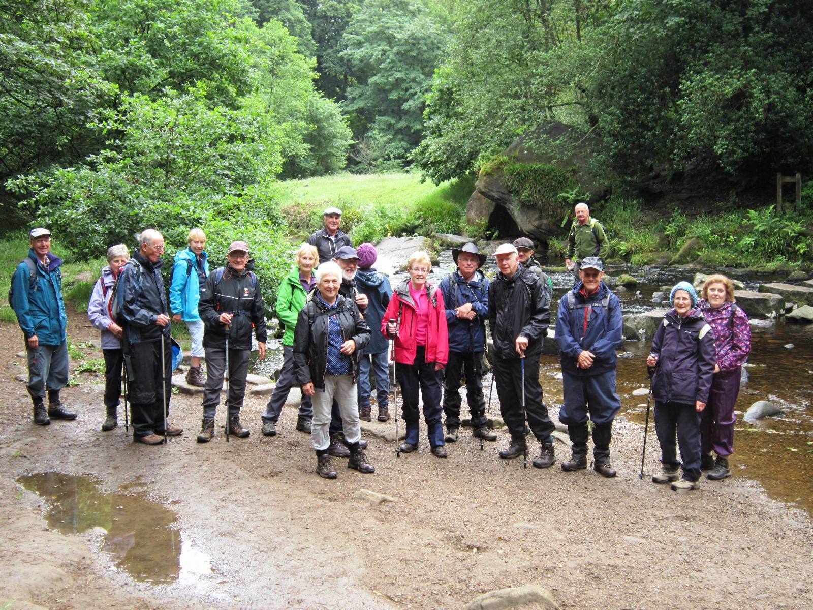
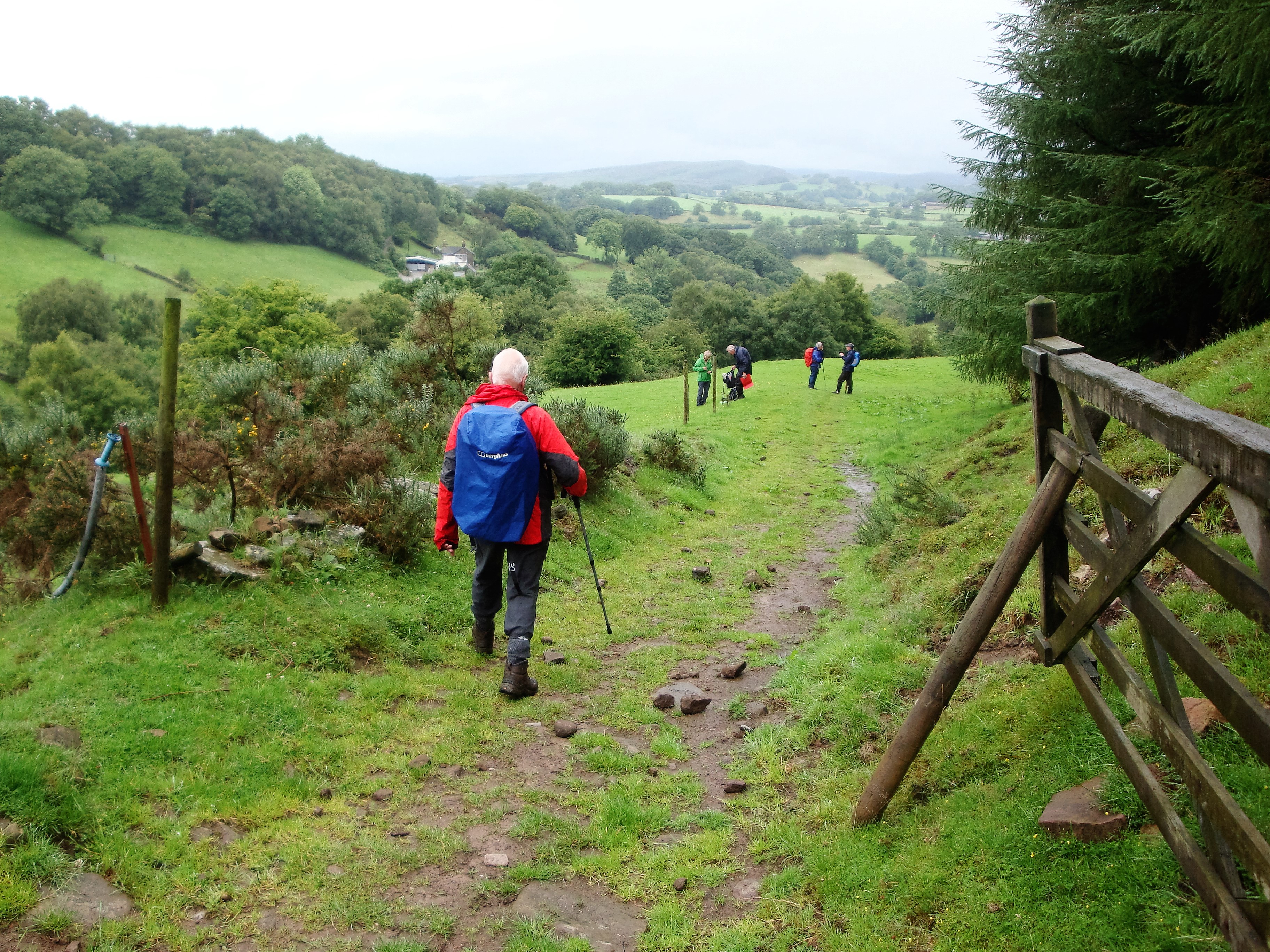
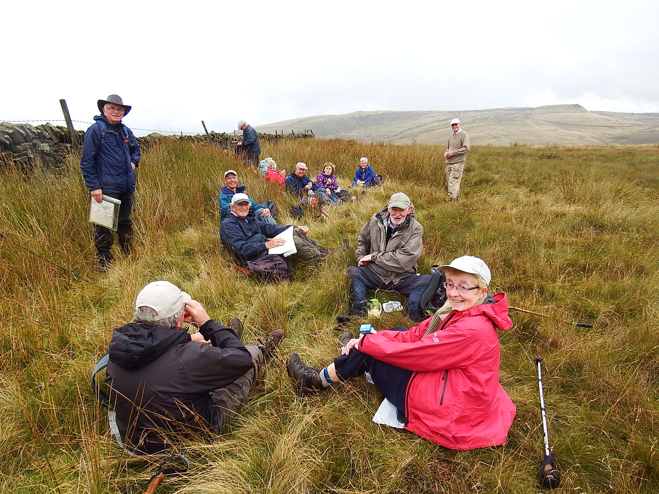
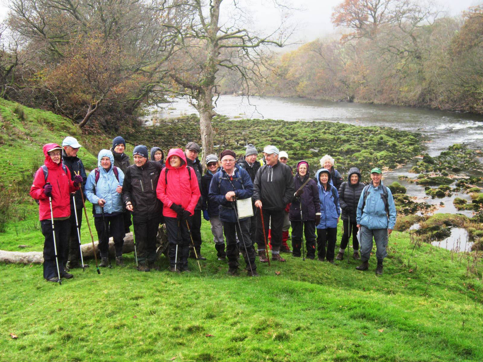
David Burke led a group of sixteen from Ford Hall near Chapel-en-le-Frith on a 7.5 mile hike through contrasting landscapes from a mellow wooded valley steeped in history to high level heather and peat moorland.
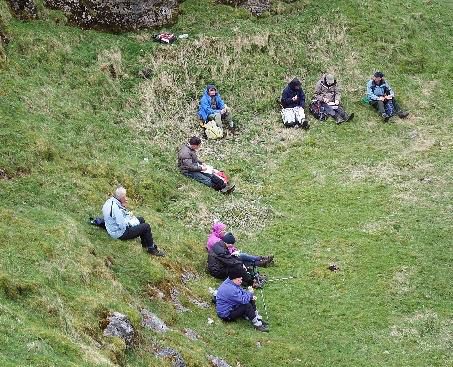
We left the hamlet of Ford via Peat Lane, a former coach road, to start a steady climb through woodland leading to open farmland, which gave access to an ancient bridleway along Tom Moor, which we followed to the western flank of Rushup Edge, before turning northward to gain higher ground and a vast expanse of open moorland where we proceeded for 1.5 miles along a path, recently paved with large stone slabs by the National Trust, which facilitates all weather access to the boggy wild plateau. Here we had a close encounter with friendly Wheatear, a most attractive bird, a summer visitor, alas we had no luck in seeing a Merlin, the smallest of our resident Falcons, which proved allusive (much to Carol Straffon's disappointment!).
Towards the end of the stone path we reach the Trig. point at the summit of Brown Knoll, one of the highest hills in the Peak District (1867ft), which lies at the westerly end of the Edale valley and 2 miles South-Southwest of the Peak District's highest point, Kinder Scout (2087ft). Our cresting of Brown Knoll was unkindly rewarded with a quick wet squall passing through, so we have no triumphant photograph!
On leaving the summit we headed West towards South Head and found shelter from the cool breeze against a drystone wall, where we stopped for our picnic lunch. Our onward route reacquainted us with another section of the bridleway we had used earlier, leaving it finally to descend to Shireoaks Farm, enjoying the improved weather conditions and splendid views of the valley in it's late summer glory, leading to a very steep descent to Malcoff, from where we walked along the single track picturesque lane back the Ford, where Steve Reynolds on behalf of all present, thanked David for organising the walk.
.JPG)
David Burke
Twenty three folk started the U3A September walk from near the Sportsman pub in Hayfield.
After walking along Kinder Road and up hill, the group passed through Farlands (a house and a farm) and again uphill onto the moors on a field path; looking back at the view of Kinder Reservoir. With wind in our faces we had views of Southhead, carefully walking the peaty terrain. A stony pack horse track took us to our lunch stop near to Coldwell Clough Farm, a surprise awaited us as a farmer was bringing a flock of sheep up the lane towards us, with no dog to help! Following the tarmac road the group arrived back on Kinder Road where our cars were parked.

Ruth Smith
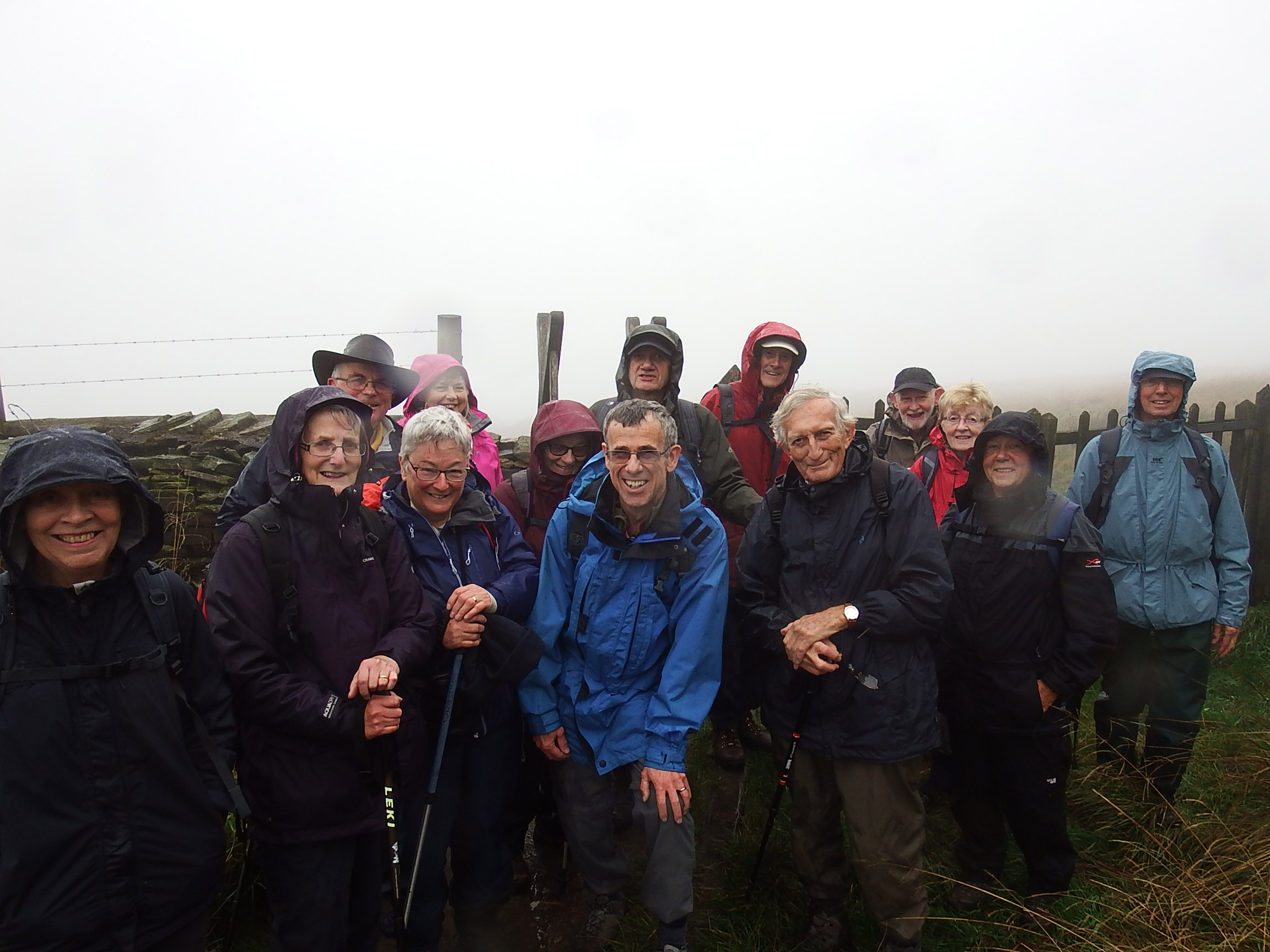
I t was a very wet and misty morning when 15 brave walkers met to begin the 5.5 mile walk from Lyme Park up to Bowstones, down to Cock Knoll, and across to East Lodge. From here with the weather starting to improve but the underfoot conditions remaining very slippery and muddy, the walk continued to Cockhead and North Lodge via Bollinghurst reservoir. At last with the sun peeping through we climbed up to The Cage and enjoyed splendid views of Manchester and the surrounding countryside.
.jpg)
Sam & Irene Chappell
Wednesday 25th October Sale Walter Park is a real gem, rushed past daily by thousands on the M60, its attractive floodplain has a 50 acre lake, wide rushing river, quiet stream backwaters, a maze of pleasant tree-lined tracks, and dense wooded areas easy to get lost in! Gravel extraction for motorway embankments and dike construction for flood control have been sympathetically engineered in the extensive grounds of former Sale Old Hall, yet the area seems almost entirely natural. Our 17 walkers led by Walter Mason enjoyed exploring new ground on a pleasantly warm day (albeit with many paths awash after nights of rain), even discovering a route to take in the motorway footbridge to complete the walk. Half our group then had satisfying meals at the Boathouse Restaurant to round off a good mornings walking.
 Walter Mason
Day 1; Friday 27th October 2017
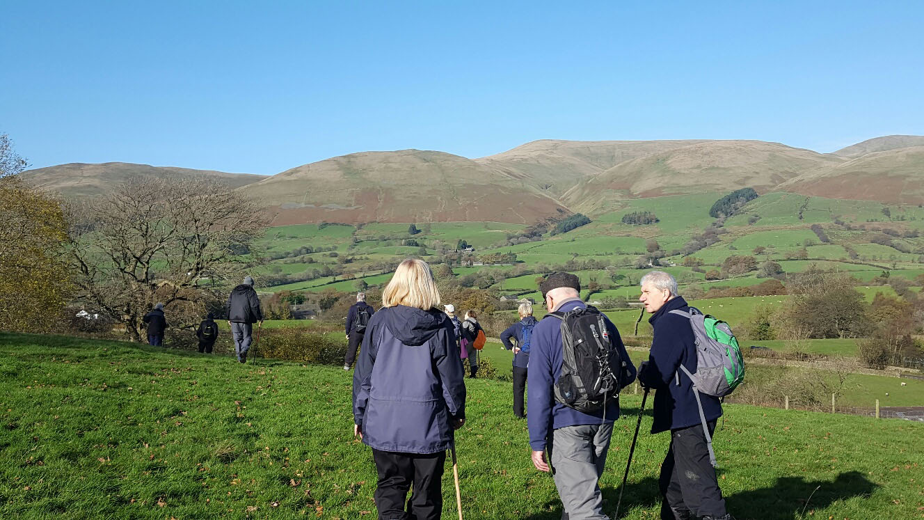
The first day of our trip was blessed with near perfect weather conditions, sunny blue cloudless skies, little wind and favourable temperatures. The Howgills greeted us in crystal clear conditions with their profile etched against the deep blue sky, the vision will remain with the 22 walkers' on the trip throughout the grey days to come.
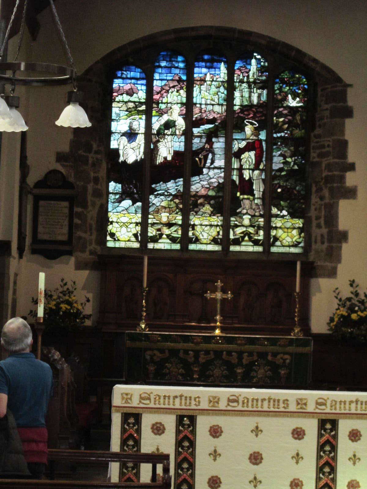
We all met at Thorns Hall, Sedbergh, our accommodation, prior to an afternoon 2.4 mile stroll led by David Burke. We followed a lovely circuit along the banks of the picturesque river Rawthey. The path led us through a delightful wood with a narrow walled gulley and across open fields to the hamlet of Birks, some of the houses date from the 1700's. We then proceeded along a footpath across the sports fields of Sedbergh School- established in 1525, one of the oldest schools in England. The path then led to St Andrews' Church where we sat for a while in the warm sun, surveying the school grounds and magnificent view over the distant hills. We entered the church which dates from 1500, although earlier buildings on the site dated from around 1130 AD. It had a major renovation in 1886. The east window is unusual in that it has a single picture spread over 5 panes. It looked magnificent against the strong external sunlight.
We then walked along Sedbergh's Main Street before returning to Thorns Hall for afternoon tea. A great start to our stay, admittedly we were in a state of pleasant surprise at experiencing an ideal autumnal sunny day!
David Burke
Day 2; Saturday 28th October 2017
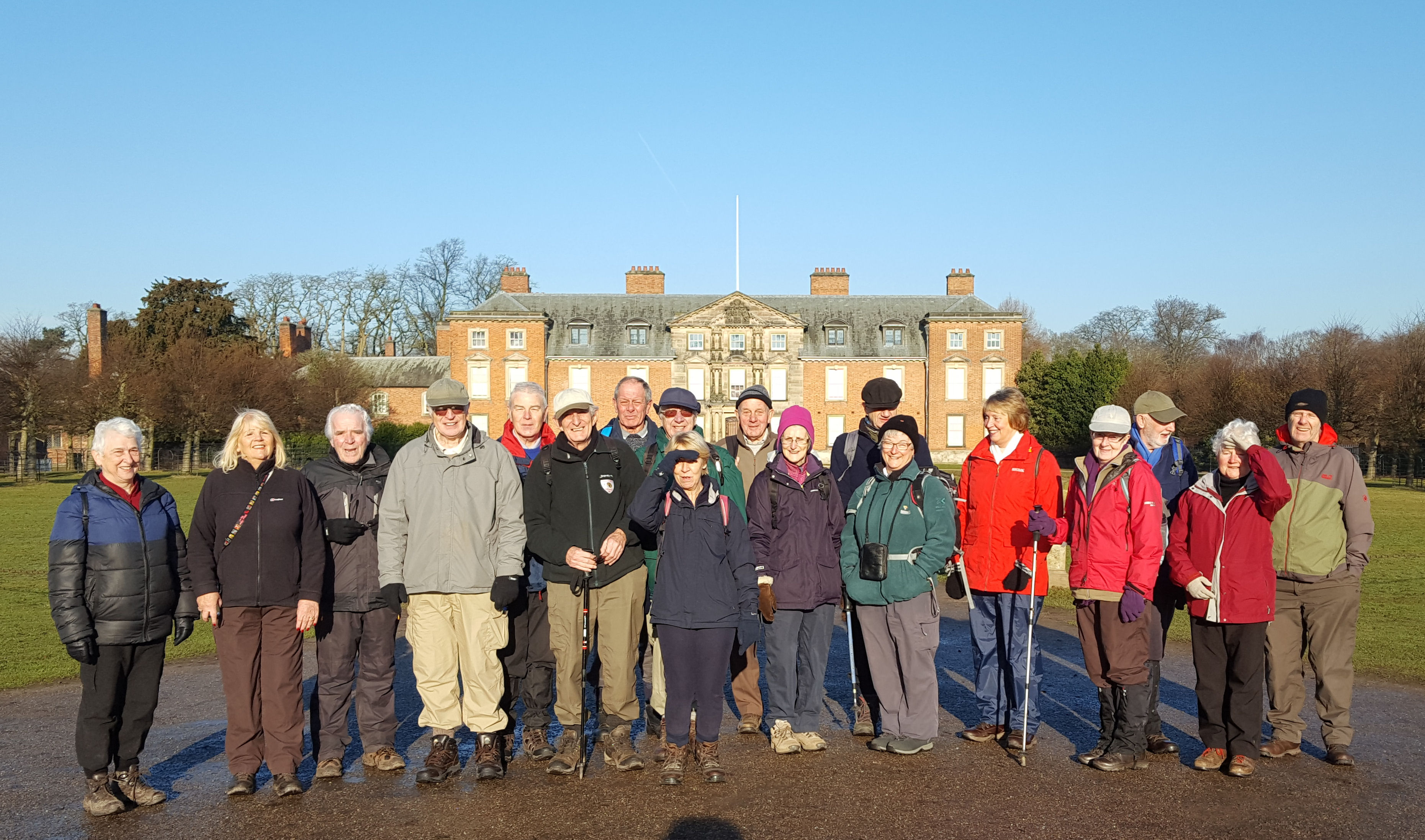
Twenty of us set off after a hearty breakfast, for a eight mile walk led by David Burke, which would take us to the banks of no less than three different rivers.
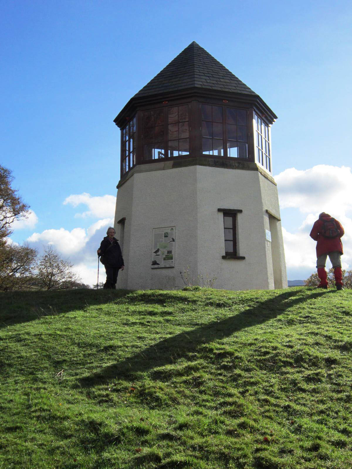
Leaving Thorns Hall, we took the footpath behind Settlebeck School, crossing fields to descend on a narrow road to enter a wood which was once part of the estate of Akay Hall. On leaving the wood we passed a strange building known locally as The Pepperpot. It is believed that this unusual building was built as an isolation house for the daughter of the local landowner who was suffering from tuberculosis. By living in isolation, she avoided being moved to a sanatorium, and could therefore be nearer her family. Sadly she died shortly afterwards. The building then fell into disrepair, but was rebuilt recently with money from the Heritage Lottery Fund.
We then continued along the edge of one of Sedbergh School's rugby pitches, through the hamlet of Birks, and along the bank of the River Rawthey. Passing the sewage works, we could see the confluence of the River Dee as it joined the Rawthey.
Continuing along the river bank, we crossed the embankment of a disused railway, next to an interesting cast iron arch railway bridge over the river. We then continued along the bank, followed by a short walk along the A683, then a path through some fields and farm buildings to continue along the Dales Way to Luneside Farm. This section of our walk was extremely muddy, but we somehow survived it. We were then in view of the River Lune and we chose this spot to eat our packed lunches.
Continuing along the bank of the River Lune, we passed under the disused Waterside Viaduct, again admiring its cast iron arches. After that we crossed some fields and along Howgill Lane to Lockbank Farm. We then traversed a path beneath Winder Fell, to a path which descended by Settlebeck Gill. The route necessitated crossing the beck, and then passing the Howgills Bunk Barn, to descend into Sedbergh village and Thorns Hall.
Jeff Mortimer
Day 3; Sunday 29th October 2017
Another superb sunny autumn day! 16 walkers set off from Thorns Hall on a 4.3 mile walk led by David Burke. This walk covered new ground Eastward, following the River Rawthey upstream until we reached Straight Bridge, after crossing the river we proceeded along a lane to Garsdale Bridge and the River Clough, which we followed in a South/Easterly direction along its beautiful and varied meandering course. We left the Clough at Hallbank to strike out for higher ground leading to Low Branthwaite and then headed towards Side Farm, stopping for our picnic lunch at a convenient spot to view the Howgill Hills across the valley bathed in sunshine and dressed in their autumn colours. A nasty boggy area did little to aid our progress as we headed back towards Sedbergh but once we reached the lane to High Hollins it was downhill all the way without hinder. We crossed the Rawthey at New Bridge and returned to Thorns Hall, finished our picnic lunch, before travelling home after three enjoyable days walking in the Sedbergh area.
David Burke
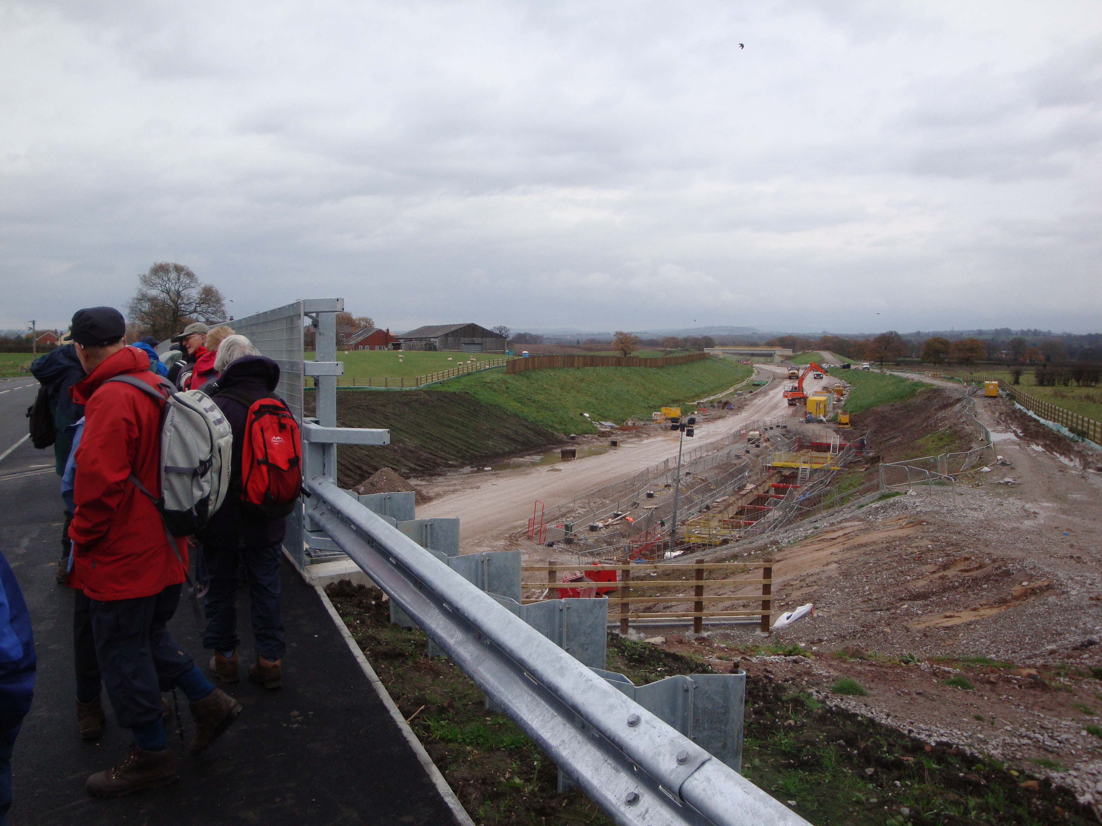
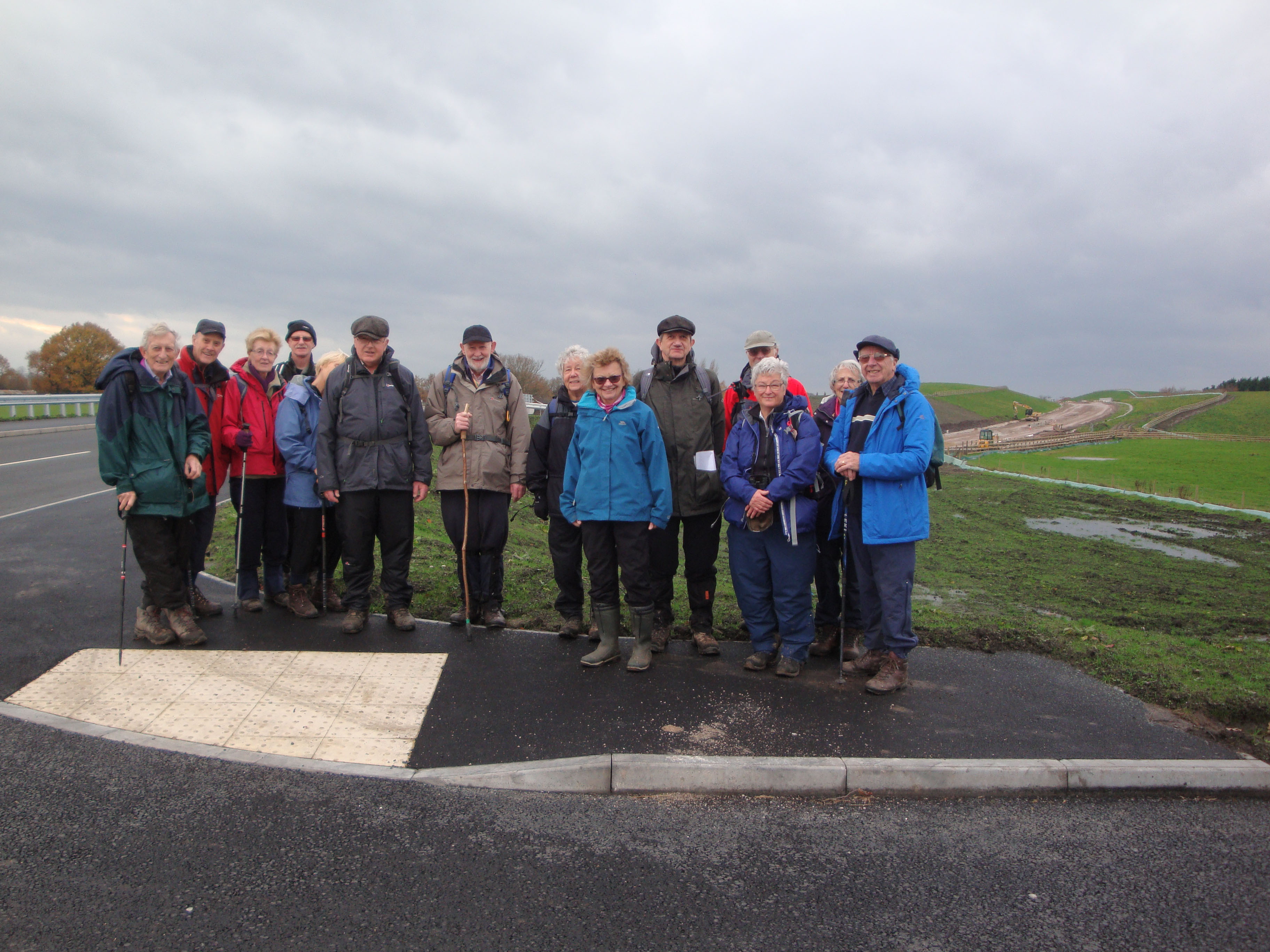
15 of us met in the lay-by, by Hazel Grove High School, on Jacksons Lane for a 7 mile walk around the Lady Brook valley. Our walk ignores the invisible boundaries and once more joins the villages of Poynton and Bramhall. However, this walk is about to be divided again by a far from invisible boundary in the form of the A6 to Manchester Airport Relief Road Scheme.
We should have started by descending a scant 100 ft. before heading east along the edge of fields to Millhill Bridge on Chester Road. However, despite fine weather on the day, the rain from the previous week resulted in a muddy and hazardous route. Caution prevailed and we took to Jacksons Lane to reach the bridge before heading off into Mill Hill Hollow for our first encounter with the relief road at the confluence of Poynton Brook and Norbury Brook. Standing on the, as yet, unfinished carriage way we had our first chance to see the scale of the construction and workings for dealing with drainage of surface water.
Following on the path after the road workings we crossed the footbridge over Poynton Brook and arrived at Poynton Pool having carefully crossed London Road. The pool or lake was full of wildfowl and a pleasant spot for a coffee break. The lake once formed the edge of the Vernon family estate overlooked by Poynton Hall built in the 1750s. The original "Towers" were erected about 1600 as part of the first hall, and became a stables and dairy complex after 1760. In the 1850s they were converted and greatly extended to form a new house, "Poynton Towers", long since demolished. We re-crossed London Road to the Bull's Head pub at the old centre of Poynton village (further info at http://www.jaggers-heritage.com/ ).
We travelled west from the Bull's Head down Vicarage Lane, greenway' and bridleway ( the old Wilmslow Road) to our next encounter with the relief road at Chester Road/Woodford Road. A new footbridge will eventually cross the road but for now we were obliged to cross by the new road bridge. This gave us the opportunity to survey the extensive drainage workings that appear to be the current obstacle to completion.
Continuing along to Birch Hall farm we could look back at a splendid view of Lyme Park and the Peak District hills. Our next objective was Carr Wood Park but first there followed a maze of alleys and roads traversing Pownall Green and the nether reaches of Bramhall. Carr Wood Park descends to Bramhall Park through a pleasant wooded valley on the edge of Bramhall Park golf club. Once in Bramhall Park we stopped for lunch before following Lady Brook through Happy Valley Nature Reserve and back up to our starting point at the lay by. Caution should have led us to divert up Wallbank and Jacksons Lane to avoid the mud and slippery slope again! However, for reasons best left unsaid , we carried on and reached our destination muddy but safe.
Ron & Marje Rennell.
Disley : Walk and Lunch Wednesday 6th December
Thirty of us met at the White Horse Pub car park in Disley to start our final walk in 2017, led by David Burke. Our 3.5 mile trek around Disley started at St Mary's Church, whose origins date from 1527 when Sir Piers Legh of Lyme funded the construction of a Chantry Chapel. Our walk went past Bentside Farm along Green Lane to Long Lane which led us to Muslin Row, where we crossed Buxton Old Road and followed Corks Lane past Seven Springs to join Greenshall Lane. Here our group photograph was taken and we enjoyed a coffee stop and chocolate cherry liqueurs!
We followed Greenshall Lane, crossed the main A6 road and joined the Peak Forest Canal. Walking towards Disley we passed the former Disley rubbish tip which is now covered with new houses and the former Bowwater factory site which is also covered with new housing.
Our canal towpath route continued past Disley towards Marple, passing a "reflective" barge, before we crossed the canal at a swing bridge and followed the single track lane via Haggbank to Disley village and the White Horse where thirty walkers' were pleased to sit down and enjoy a Christmas drink and lunch.
David Burke