|
We usually meet on the last Wednesday of each month and on the second Tuesday of every other month, at 9:30am by the village hall. Walks are not long or strenuous; 5 or 6 miles on average, each with a different leader.
Group Leader David Burke
2022 Walks
U3A Walking Group Report for 26th January 2022
On our first walk of 2022, 26 people and a dog met in the car park of All Saints' Church in Marple. Following the path that Samuel Oldknow's apprentices took when they attended church, we descended steeply over the river Goyt to Bottoms Hall, behind which used to be the Apprentice House where the workers lived.
Climbing up the rocky path we reached Mellor Golf Course and enjoyed a welcome coffee break. Ascending further on to the golf course, distant misty views of Manchester and the local landmark of the cross on Cobden Edge came into view. A path then took us round Cobden Edge into the hamlet of Brookbottom where we had an early lunch break even though The Fox was not open.
Descending the rocky path from The Fox we reached the Goyt Way and followed the River Goyt to the packhorse bridge, known locally as the Roman bridge. Another steep climb took us up on to the Peak Forest Canal which we then followed back to the apprentice path and into the churchyard. 24 of us returned ( we didn't lose the 2! ) after an enjoyable walk of around 6.5 to 7 miles in dry weather.
Shelagh Stokes.
Walking Group Report for 23th February 2022 - Alderley Edge After days of bad weather - 21 of us walked for 5 miles in dry, almost sunny (at times) weather. Following a good path to sandstone outcrop - with great views, then on to The Beacon dating back to the Spanish Armada. (Paths still in good state) - on to The Wizards Well. Gently uphill, behind houses, on to the main road. Picking up another path opening on to NT field - the mud at this point proving to be a trial!! Coffee needed - so on to Artists Lane and some seating......
Backtrack up the lane and along a path leading to Bradford Lane, all cobbled, then a bridleway - all in good condition until reaching Haymans Farm. We edged round a wood, crossed a large field, coming out close to a lovely house. From this point we stayed on the quiet road arriving back at the carpark. Several stayed to have lunch on the picnic tables before setting off home.
Walking Group Report for 30th March 2022 WALK AROUND THE BOLLIN
On Wednesday 30 th of March on a day for which the weather forecast was for freezing temperatures and snow showers, 11 walkers completed a 5.8 mile varied walk from Twinnies carpark, just a mile from Styal Mill (NT). Fortunately, the day was much less cold than had been forecast and we saw little of the snow showers that we had expected. In fact, it turned out to be quite a pleasant day.
The River Bollin was our constant companion for most of the walk and there was plenty to see along the way including Styal Mill and the varied woodland and rolling rural landscape that surround Wilmslow. The route took us through Styal Country Park following the Bollin, crossing the numerous bridges and climbing the frequent steps both up and down the inclines, following the riverside path to emerge onto Altrincham Road by the Airport Hotel. Our return route took us on field paths through numerous kissing gates to pass by Morley and Morley Green, to then follow the path through the woods behind Kings Road and Wilmslow Rugby Club. We were a few weeks too early to enjoy the display of wild garlic and later bluebells that bloom on the banks of Pigginshawe Brook which runs far below the path on this section of the walk. Finally, a short section of boardwalk led us back to the carpark.
Sam Chappell
Walking Group Report for 27th April 2022
Sixteen of us enjoyed the continuing dry and sunny weather on a pleasant seven mile walk in the Cheshire countryside.
The surroundings of historic Gawsworth Hall and church at the start of the walk are particularly attractive with fine views of the Peak district hills on the horizon.
The walk took us through fields, along country lanes, parkland and a stretch of the Macclesfield canal where we had coffee by the first of the twelve locks making up the Bosley flight. We walked on to North Rode and the parkland of North Rode Hall where we stopped for lunch on a grassy bank. The return took us by the fishing pools of Gawsworth where lively fish were in evidence, before returning to our starting point by the church.
Louanne and Peter Collins
Walking Group Report for 27th May 2022 HIDDEN WOODS OF HYDE
Wednesday 27th May saw 15 walkers enjoy a lovely varied walk from Lower Higham Visitor Centre on the slopes of Werneth Low.
The route descended gradually through the ancient village of Gee Cross, until 90 years ago the main road from Stockport to Glossop and Yorkshire, and along hidden valleys to within 1/2 mile of Hyde Town Hall. Then it looped round on a former railway line, skirted another hidden valley, and used the green lane through Godley Green, back towards Werneth Low. Happily the stiff climb through the woods has been much improved for walkers, and soon we were on the very pleasant contouring path towards the superb viewpoint of Idle Hill. Then it was all easy going along Werneth Low Road, with lots to see on the way, before turning down to the imposing war memorial, and back to the visitor centre.
It had been a mere 4.5 miles, taken at a leisurely pace, with snippets of local history, and a few personal reminiscences from the walk leader, born in neighbouring Dukinfield; but it received many favourable comments about the surprising attractiveness of the walk. A few showers hardly affected us, as we had coffee under a wide bridge and lunched in a sheltered gulley.
The viewfinder by the memorial gave a welcome topical link to the platinum anniversary, with an inscribed plaque commemorating the coronation of Queen Elizabeth 2nd. The only downside was the locally advertised intention to build over 2000 houses in the pleasant green area of Godley Green, which will impact massively on the view from Werneth Low, and affect the footpaths by wooded valleys in the area - progress?
Walter Mason
Walking Group Report for 29th June 2022 Danebridge, Lud's Church and Gradbach
Eighteen walkers enjoyed our visit to the Dane valley region, on a day when the weather improved on the forecast and provided good bright warm conditions. Our exposure to mystery, intrigue and suspense started out from Danebridge, on a picturesque path which led to enchanting woodland before breaking out into open farmland and provided our first glimpse of Hanging Rock, a massive rectangular block of gritstone jutting out from the ridge. A steady climb led to a high-level vantage point with commanding 365-degree views across the Cheshire plain, plus Derbyshire and Staffordshire uplands. Our onward path passed through early fruiting Winberry bushes on our way to Castle Rocks where we stopped for a coffee break.
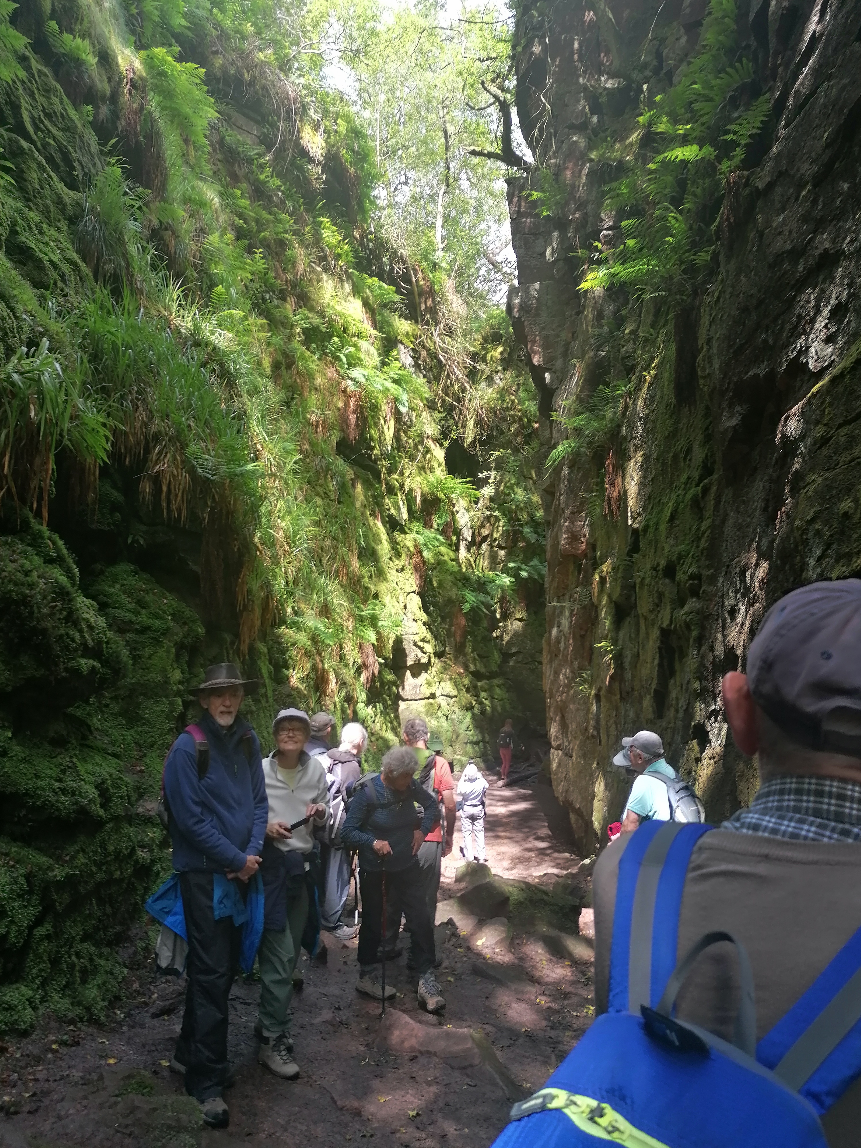
A short stroll through woodland led to Lud's Church. This deep dark chasm was created by a massive landslip above the river Dane in post glacial times. It is at least 200 ft long and 60 ft deep. It is a strange and mysterious place, draped with ferns and mosses. According to tradition, it was a secret meeting place for the Lollards. Six hundred years ago these people were persecuted for their religious beliefs. The chasm may be named after Walter de Lud Ank, who was captured here after a secret meeting. The medieval poem "Sir Gawain and the Green Knight" was thought to have been inspired by Lud's Church. Legend has associated many famous people to the site including Robin Hood and his Merrymen. Of course, eighteen intrepid HL u3a walkers are now added to the august list!
Our onward route through ancient woodland known as Back Forest led to a clearing where we had a picnic lunch. We then started on a steady decent thought woodland to Back Brook, a tributary of the Dane river. A footbridge enabled easy passage to Gradbach Mill where a well-earned sit down and ice cream was taken. The tranquil hamlet of Gradbach was formerly a hive of industry, with flax and then silk spinning at the Mill, constructed in 1730. We then followed the official Dane Valley Way which tracks the Dane through attractive forest and open farmland back to Danebridge. We enjoyed our 7-mile trek, the events and discoveries along the way, coupled with the mystery, intrigue and suspense, it will not be easily forgotten!
David Burke
Walking Group Report for 27th July 2022
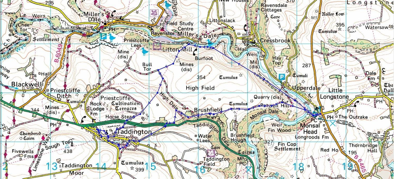
Taddington and Monsal Head
This was the first time since lockdown that we tried a return to the old format of optionally meeting up at High Lane Village Hall car park or at the start of the walk. In the event only 3 departed from the Village Hall, with the remainder of our 21 strong party meeting at the rendezvous in Taddington.
After a brief introduction, we set off in the pleasant sunshine down a small ginnel bordered with flowers and headed over a field to the church of St Michaels and all Angels. The church was open so we entered to examine the various features such as the stone carved font, the organ, stained glass window and the unusual carved tree stump embedded with nails. Founded in the 12th century but dating mostly from the early 14th century, the church has an elegant four bay arcade and tall chancel lighted by flat headed windows. There is evidence of an earlier church.
Although extensively restored in 1891, St Michael still contains a rare stone lectern, a stone font dating from the 13th century and a fine brass to Richard Blackwall, his wife and children, which is dated 1505. There is an early wall painting on the west wall, a rare stone lectern in the chancel and a medieval mass dial on the external south wall. In the churchyard we also noted the Norman Cross.
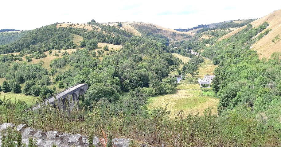
We then continued through the village up to High Well (the existence of which was probably the main reason for the village being here at all). From High Well we made our way east out of the village and across the A6, taking the path up to end of High Dale and then bearing right to the little hamlet of Brushfield, then over several fields before stopping for a refreshment break and an opportunity to take in the views of the Wye valley, Fin Cop hill and Monsal Head in the distance. We continued along the old drovers track to the Headstone Viaduct and Tunnel below Monsal Head.
Lunch was taken here, with some preferring to stay on the viaduct, whilst others braved the climb up to the Monsal Head Hotel to sample the fare on offer in the Longstone Bar and the ice cream van.
After lunch we regrouped on the viaduct and took the Monsal Trail path via the old Monsal Dale station site, Cressbrook tunnel (including some details regarding the history of Cressbrook Mill and the village), Litton tunnel (including some details regarding the history of the Mill and the hamlet).
Just beyond Litton Mill we took some steps up the left-hand side of the overbridge leading up the hill through Priestcliffe Lees nature trail. At this point, as it was getting a bit late to take in the Priestcliffe Cultivation we decided to head straight on back to Taddington via the top end of High Dale, unfortunately this did entail a rather steep climb, but from then on it was a fairly level walk though fields back to our cars.
Although it was still warm the sky had clouded over by the end of the walk, but the weather had, at least remained fine throughout. Total distance 7.15 miles.
Rick Hedley
Walking Group Report for 21st August 2022
Rainow to Lamaload Reservoir in the countryside of the South West Peak District.
Onwards now on farm trackways towards Hordern farm we next contoured the hillside to Gulshaw Hollow for a coffee stop with views of Walker Barn hamlet, Macclesfield forest . Refreshed we continued along the hillside valley passing Valeroyal Farm, then a small stream and an old renovated barn. Field paths and occasional awkward stone wall stiles took us up to the side of Lamaload reservoir.
For the return route we descended to the bottom of the dam wall and an uphill path to Yearns Low farm ,a short rest , a final look at the River Dean valley and the distant hills before our downward descent back to Rainow.
Walking Group Report for 28th September 2022
Taxal Edge, Windgather Rocks and the Goyt Valley
On a glorious sunny autumn morning thirteen of us met in Whaley Bridge to begin our walk towards Windgather Rocks. After an initial climb and walking through woods we had a sharp ascent to the top of Taxal Edge, and we enjoyed the views (and had a short rest). As we walked along the Edge, we had several stops to admire the views on both sides of the valley and identify places of interest. Just before the final ascent to the Rocks we stopped for a short coffee break.
We reached the summit about mid-day and we admired the 360-degree views and looked at some of the climbs on which mountaineers' practice their climbing skills on.
On leaving the Rocks we descended steeply for a while and stopped for lunch in the woods, sitting on logs with the added benefit of dappled sunlight and bird song.
We continued down, then up, then down again, the footpath taking us through a farmhouse garden and on to a bridge over a steam before arriving at river Goyt, at the bottom of the valley. We followed the meandering river to Taxal, with a sharp short climb to Taxal church at the end. The final stretch took us through a new housing complex being built, and back to our starting point.
Ralph Caddy
Rowarth, Matley Moor and Cown Edge
This 5.5-mile walk led by Ian Hope was well attended, 25 members enjoyed a circular walk around the Rowarth area. Merlyn Young provided background information about Rowarth and the fascinating early industrial history of the area. Looking at the village today, who would have thought it once supported six mills and a die works, all harnessing power from the small stream that flows down the valley. The walk route, accompanied by bright and breezy conditions, followed a steady climb from Rowarth to Matley Moor, where a welcome rest and coffee was taken. The extensive 360-degree panorama presenting the region in all its glory, far reaching views, wild moorland and rolling countryside.
The onward path to Cown Edge provided a couple of challenging stiles, which were conquered...eventually! The Edge itself allowed us to see the ever-changing high-rise of the Manchester skyline. Our route along Cown Edge quickly changed from what should have been a pleasant descent back into Rowarth, suddenly became a mercilessly wet and windy downpour. Thankfully, the raging torrent rapidly passed and the warm southerly strong breeze quickly dried us off.
This walk had the usual blend of mystery, suspense and adventure.
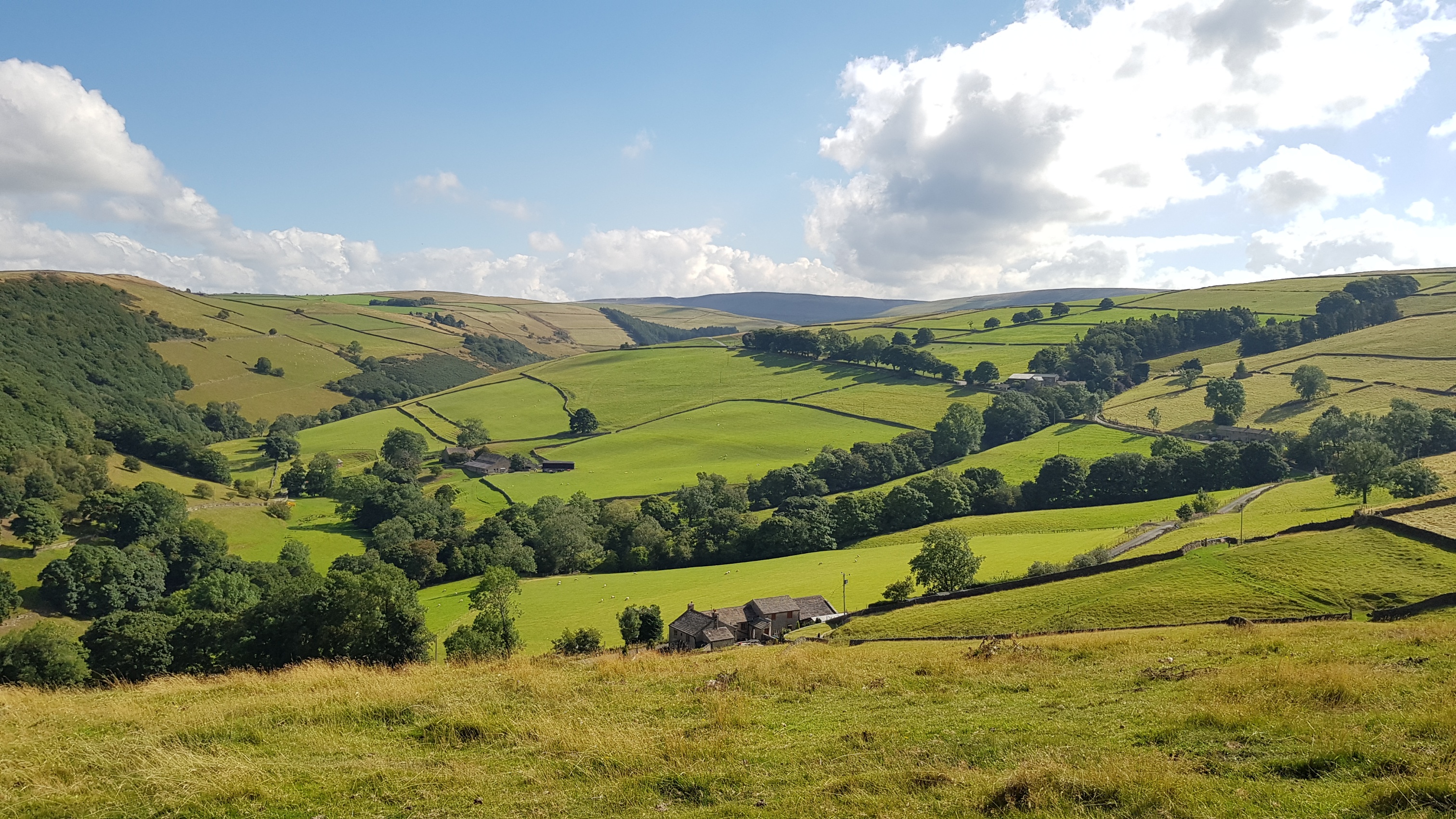
Whaley Bridge, Taxal and Kettleshulme 30/11/2022
After negotiating the initial confusion caused by road closures in the Whaley Bridge area. Nineteen walkers met at Slatersbank Farm, Start lane, Whaley Bridge, on a chilly, overcast but fine day with light breeze.
Our onward route through Memorial Park and its well-maintained pathways, allowed us to inspect the impressive War Memorial, before climbing up to join a path through a new house building site, and onward to Taxal and the ancient Church of St James. We then encountered our first serious hill climb to Taxal Edge. Nearing the top, we stopped in pretty woodland with commanding views, for a rewarding coffee break.
At the top of the climb, we left the Goyt valley and started our descent to Todd Brook via Gap House and an ancient packhorse route whilst enjoying spectacular views across the valley.
Several footbridges and stiles on our route were negotiated with care, and a lunch stop was taken adjacent to Todd Brook. After a short climb we reached Cornfield, a home for several Alpacas, before proceeding along a pleasant grassy path towards the former Moorside Hotel. A right turn along a track started the home-run down the valley via Foxhills onto Start Lane, leading to our parking spot at Slatersbank Farm.
Our walk distance proved to be longer than expected at around 6.5 miles, it just didn't feel that far, with the variety in terrain, constantly changing landscape with distant views, plus, lots of interest and surprises in an area that's awkward to access. A very good last-day in November outing for our group, with no rain!
Christmas Walk Wednesday 14/12/2022: Hurdlow, Pennine Bridleway, Parsley Hay
On this bright frosty sunny day in December, twenty-one group members met at The Royal Oak, Hurdslow, Derbyshire, for a four-mile easy walk... no stiles or hills to contend with. The alpine conditions were idea for our Christmas walk, a clear blue sky, a crisp dusting of snow and the feel-good factor that comes with classic sunny winter landscape.
We stopped for coffee and chocolate cherry liquors at Parsley Hey before making our way back to The Royal Oak for Christmas lunch. The staff were keen to please and welcomed us to our private dining room which had an open fire.
An excellent quality lunch was enjoyed by everyone, many saying they will return to The Royal Oak.
A super walking day in pristine, sunny, very light breeze conditions...let's hope for many happy returns in the New Year walking season.
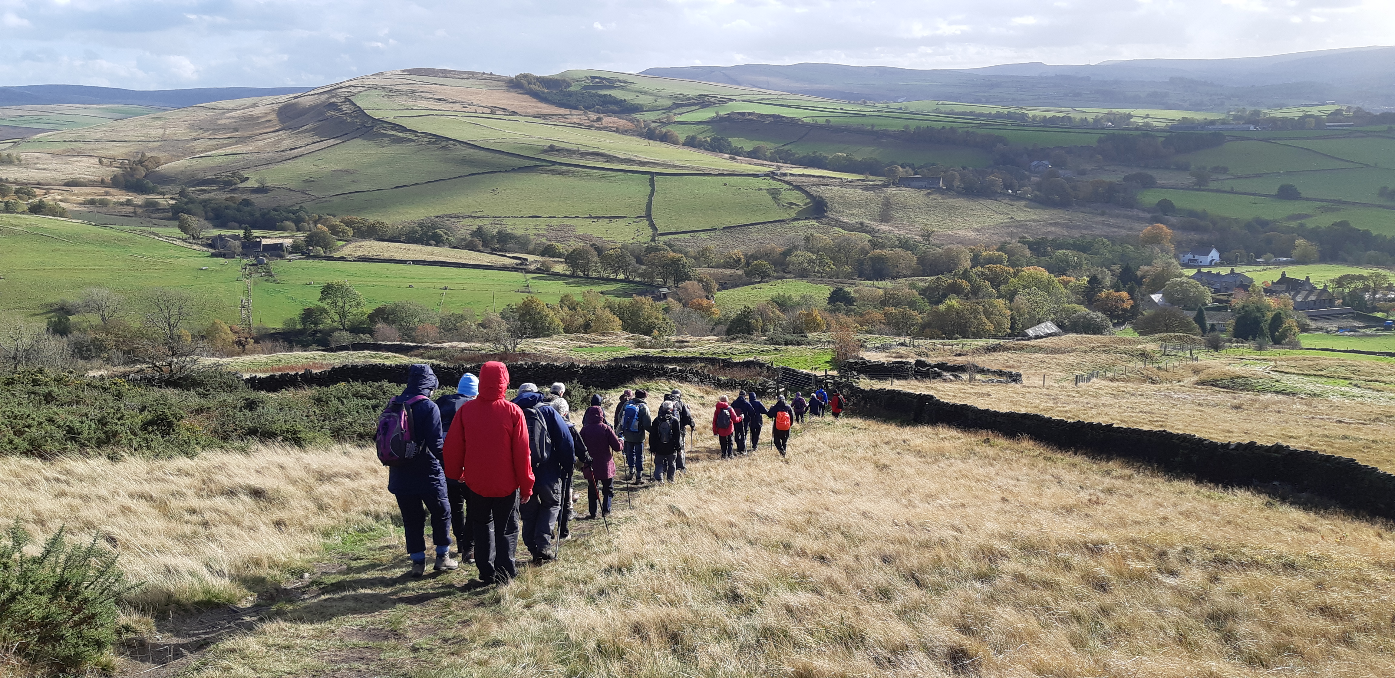
Walking Group report 25th January 2023
21 of us met at the Village Hall car park for a “High Lane circumnavigation“, i.e. a walk starting and finishing at the car park, more or less encircling High Lane.
We proceeded along the Macclesfield canal tow path until we reached a footbridge which we crossed. We then continued along a farm track to Platt Wood farm and then on to Elmerhurst cottage. Here we entered Lyme Park. We continued through the park to exit at the main entrance. Here we crossed over the A6 to enter a footpath over some challenging stiles.
There was then a steep climb through some ancient woodland to emerge at the summit of Jacksons Edge Road. We crossed this road and then took another path to Disley Golf Course. We skirted the edge of the golf course, turning onto a narrow road to then across some fields which brought us to the Peak Forest Canal.
We continued along the tow path for nearly a mile, stopping at a low wall, which we could sit on while we ate our packed lunches. We then crossed the canal over a lift bridge to Turf Lea Farm, crossing Wyberslea Road to take a footpath, a farm track and then another footpath to Victoria Cottage on Windlehurst Road.
A short walk along Windlehurst Road to the Macclesfield canal again and then back to the Village Hall.
Jeff Mortimer
Walking Group report 22nd FebruaryWalking Group report 25th January 2023 2023 Chadkirk, Midshires Way to Woodbank Park and return via the Alan Newton Way
Alan Newton is the first person born and bred in Stockport to ever win an Olympic medal. Born in 1931 he took part in the 1952 games, 4000 metre Cycling Team Pursuit and won Bronze Medal for GB. The 55 national cycle route spur into Stockport is named in his honour and he opened it in 2016 . He was also invited to open the new bridge across the Goyt which forms a further part of the Connect2 project developed by Stockport Council and Sustrans
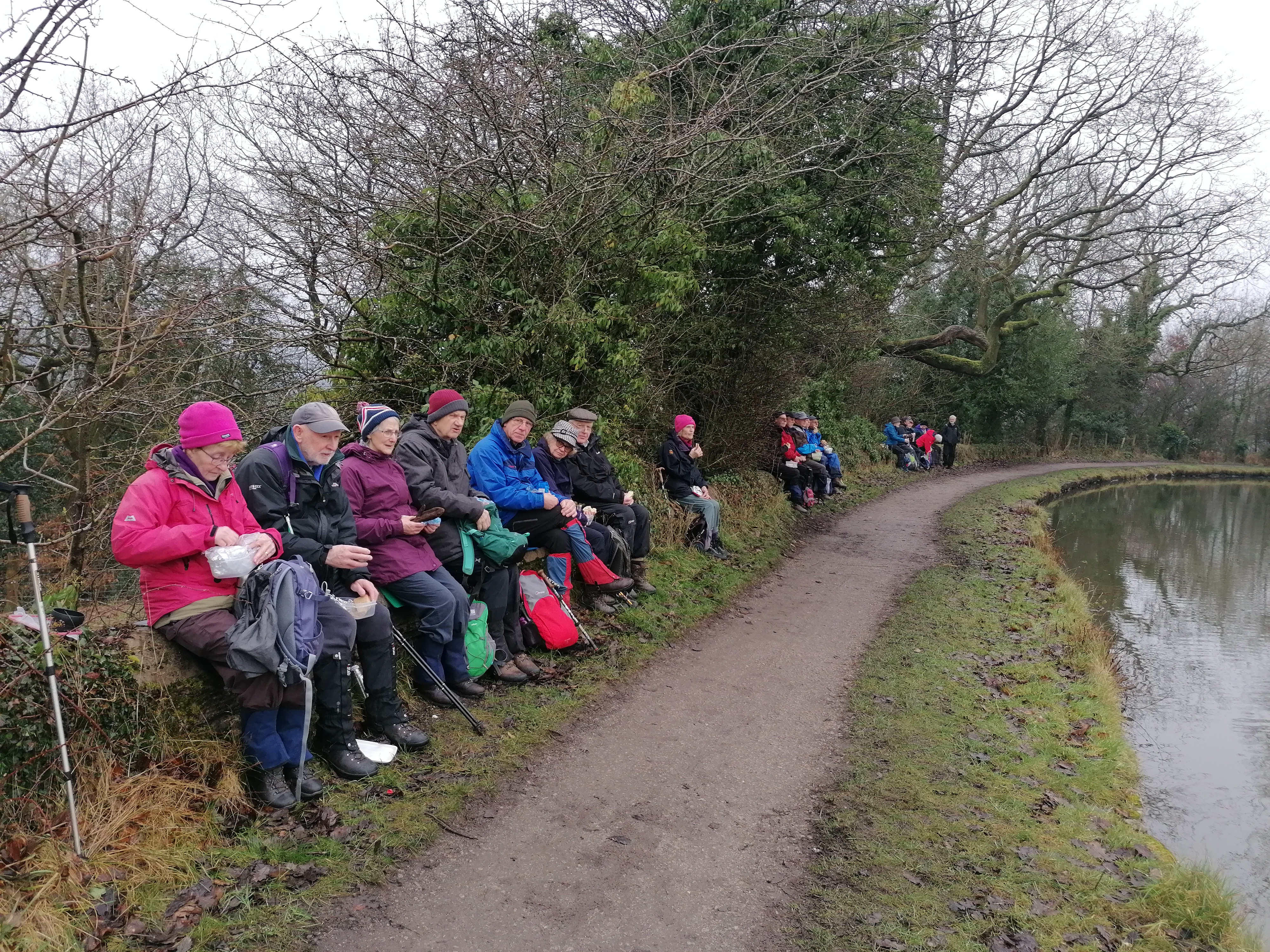
Thirty of us met at Chadkirk Country Estate Car Park for a roughly 6 mile walk. We began along a very short stretch of road from the car park to Stockport Hydro, the first community owned hydro electric project in Stockport. We arrived at the site just as someone arrived to undertake routine maintenance and by happy chance one of our number, Steve Reynolds, has connections with the project. We were all duly invited for a guided tour of the facility.
Progressing along the Alan Newton Way we soon reached the bridge over the river Goyt and crossed to the start of the Midshires Way. Our next landmark was Offerton Cricket Club grounds where we should have continued to follow along the river. Unfortunately neglect and recent rain has rendered this section of the Way treacherous and unsafe for more than a mile. This wooded area is criss-crossed by numerous paths, one of which we used to ascend to Woodlands Park on the edge of Offerton. Here we took advantage of sheltered seating for a short coffee break.
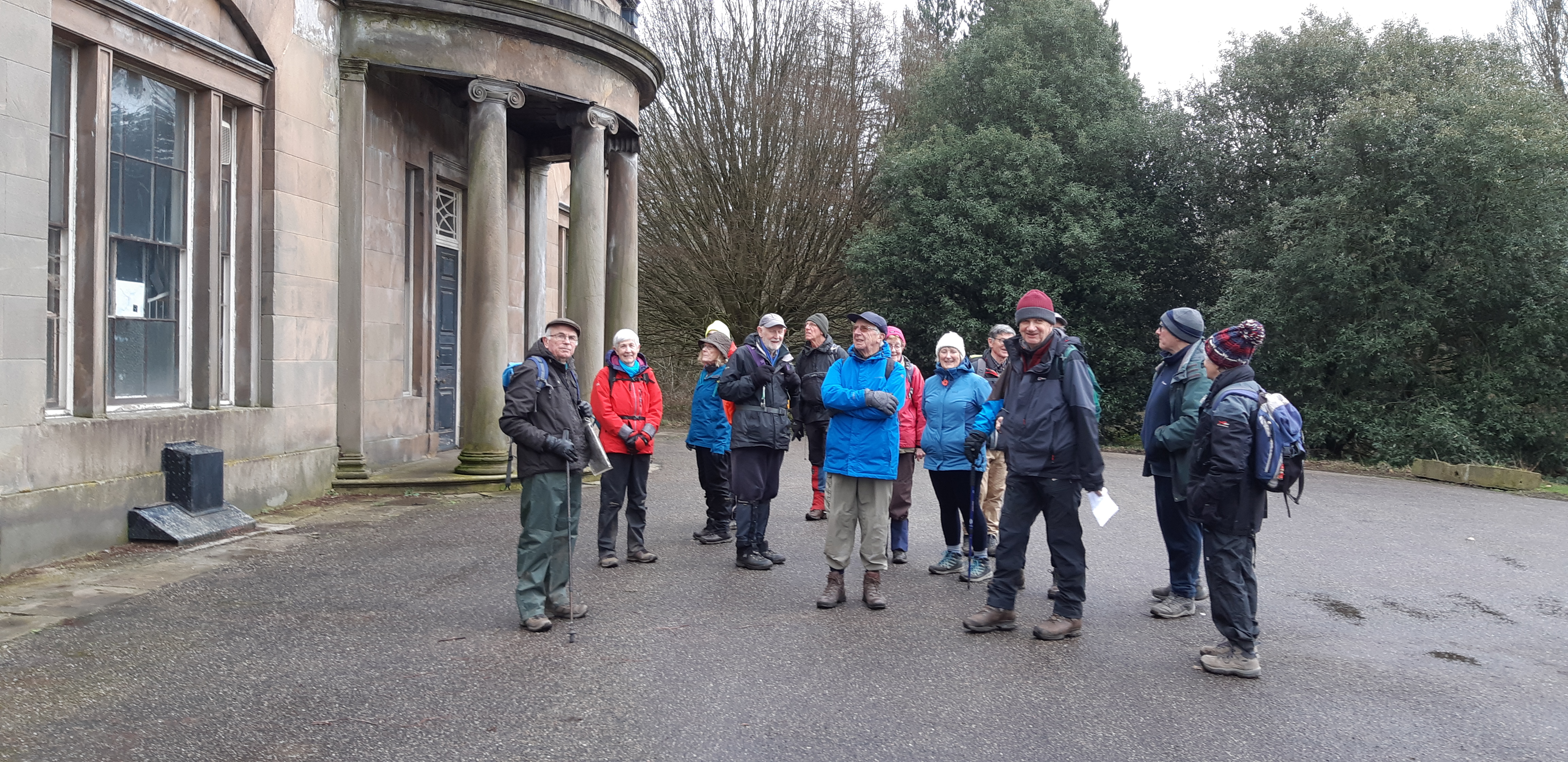
We descended through the woods into Woodbank Park at Woodbank Hall. The hall was built in 1812 by Thomas Harrison in Greek revival style for a local cotton manufacturer Peter Marsland. It is in very poor state of repair and appears to have been abandoned by Stockport Council.
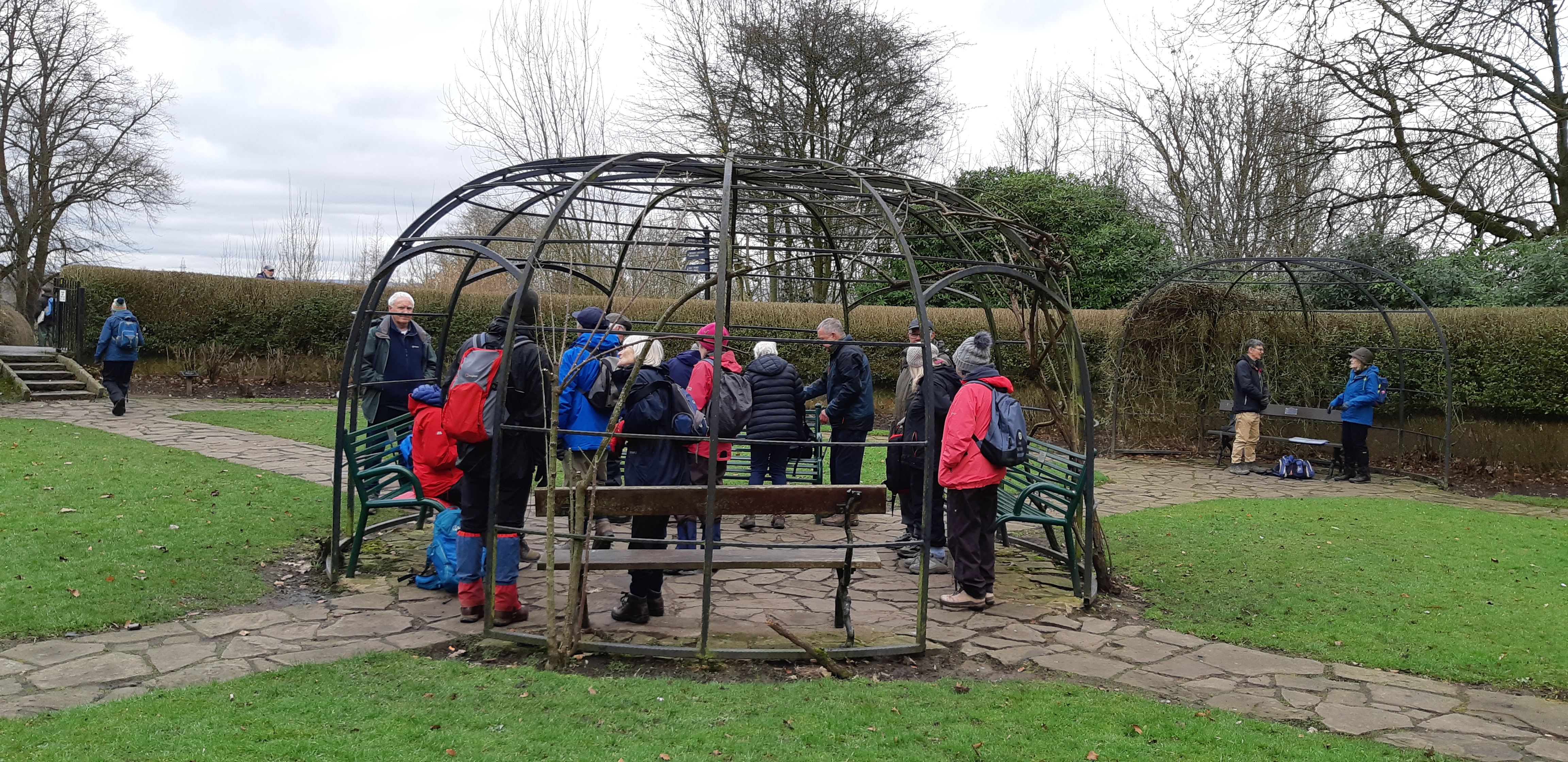
On leaving the hall we walked on the connecting path into Vernon Park. This park was built by Stockport Corporation on land donated by George John Warren (Lord Vernon). Work was given to the many unemployed mill workers of the time and it became known as Pinch Belly Park due to their hunger. A pleasant, sunken garden by Vernon Hall provided an ideal spot for lunch.
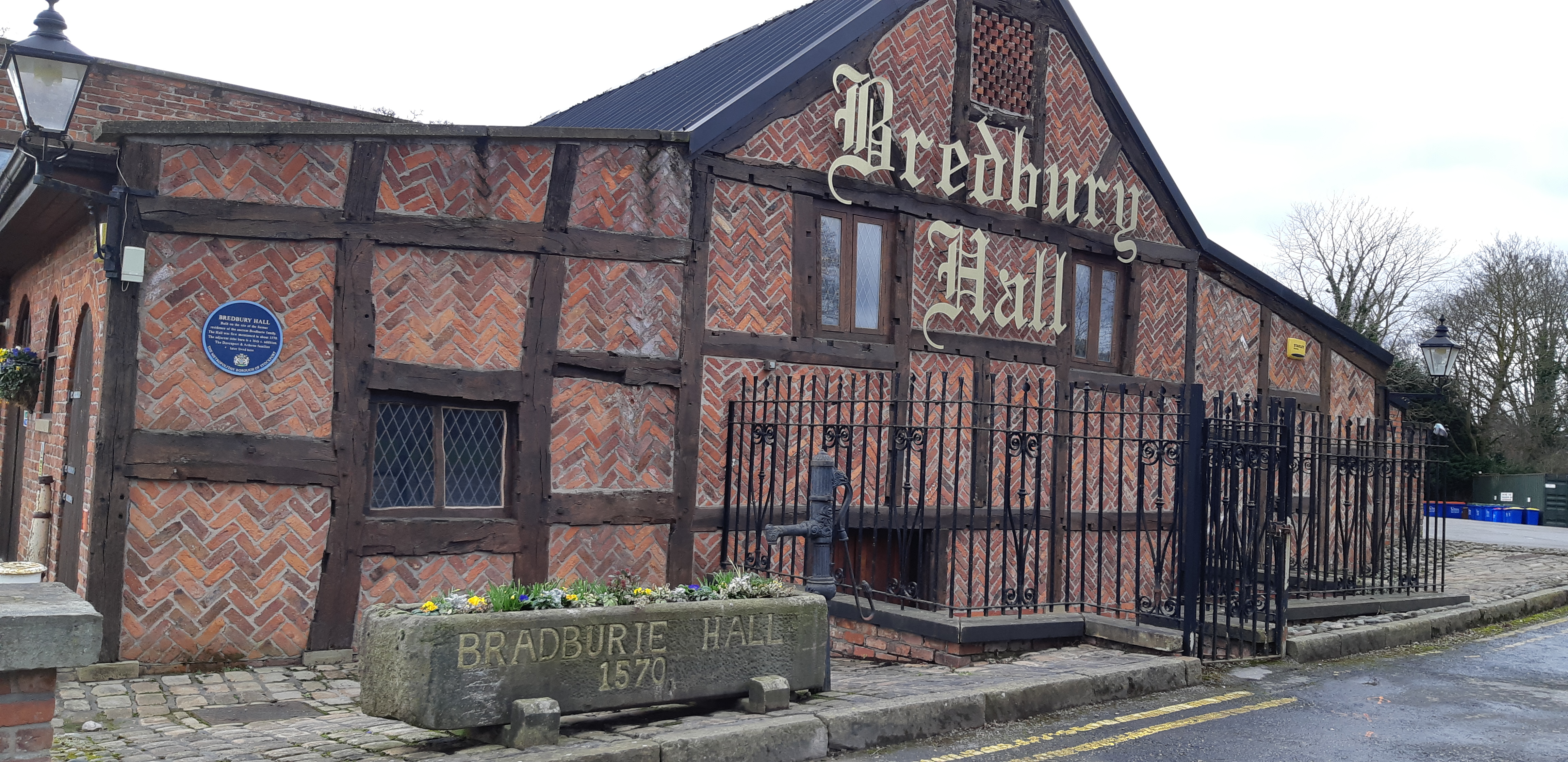
Suitably refreshed we descended to the river and crossed the new bridge onto the Alan Newton Way. Skirting around the impressively large electricity substation serving Stockport we had a short gentle ascent up to Bredbury Hall. The manor of Bredbury is mentioned in the Domesday book, but Bredbury Hall was only built around 1570. Over time it was neglected and eventually became a farmhouse. It is now a well known hotel and country club.
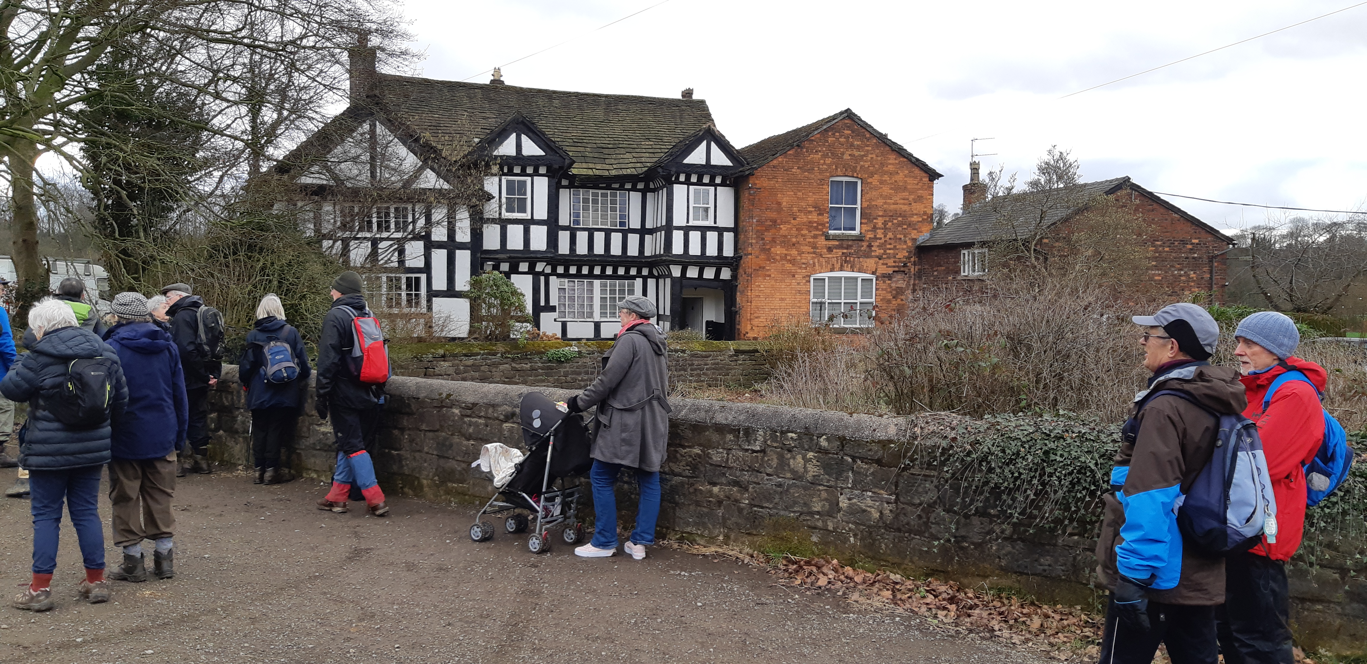
We continued along the Alan Newton Way, passing through Middle Farm, to Goyt Hall. This hall was built for one Randle Davenport, also around 1570. Altered and rebuilt c.1860 by R. Horsfield it is now a working farm and Grade II Listed Building.
A further level stretch of well maintained path and we rejoined our outward route back to the starting point at Chadkirk.
Ron Rennell
|


.jpg)
.jpg)
.jpg)
.jpg)
.JPG)
.JPG)
.JPG)
%20(1).JPG)
.jpg)
.jpg)
.jpg)
.jpg)
.jpg)
u3a301122.jpg)