 |
Back
to WHAT WE DO Walking Group 2012
|
 |
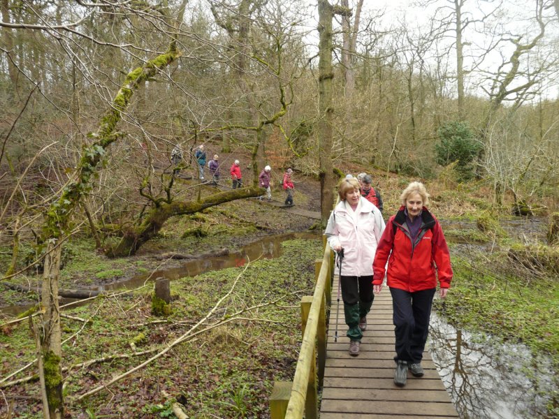
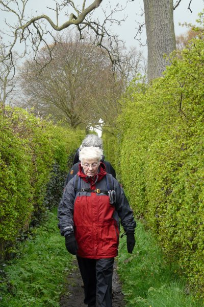
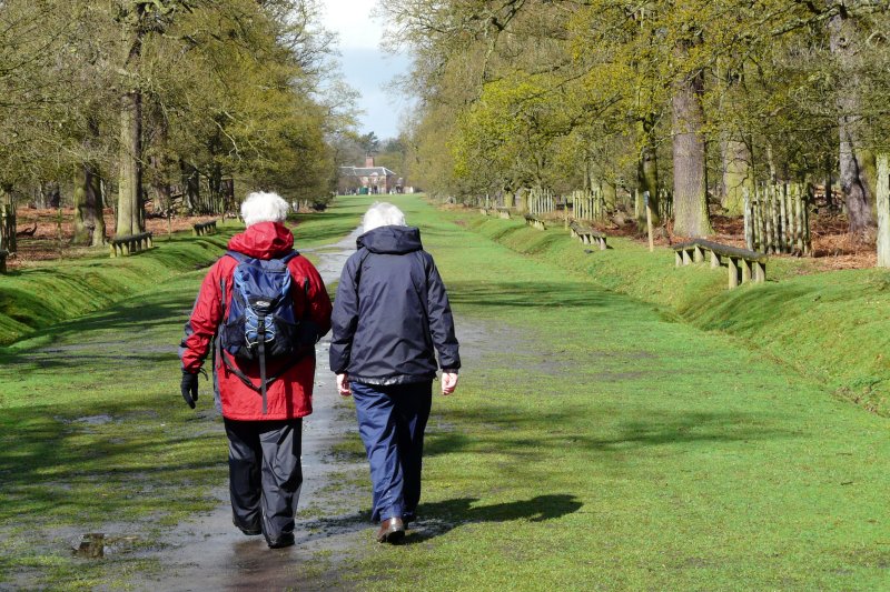
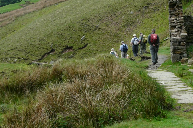
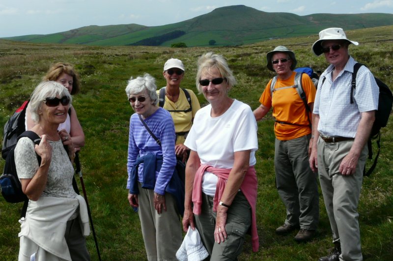
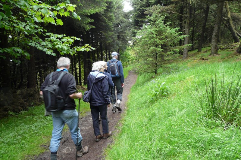
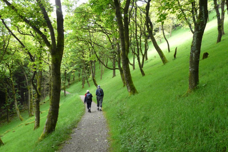
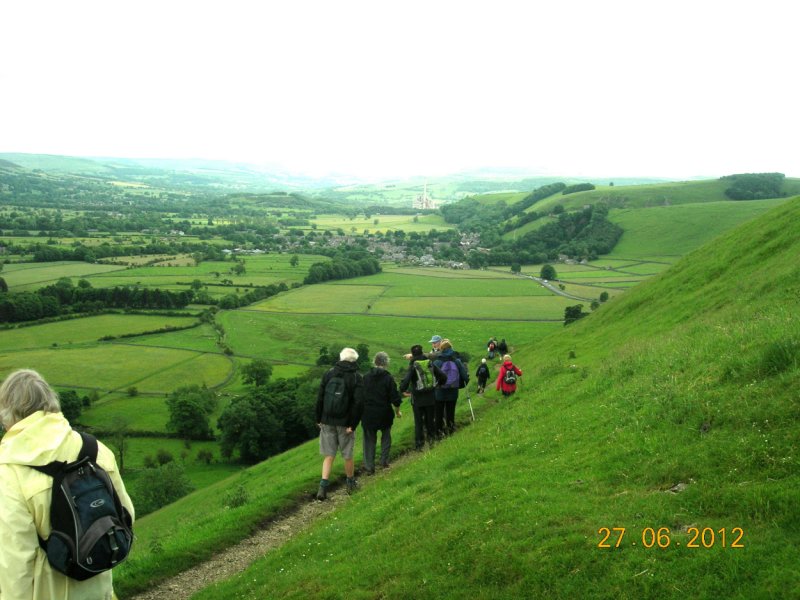
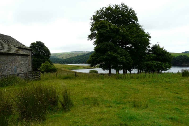
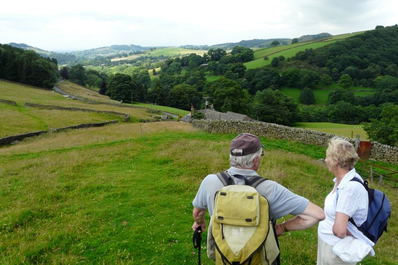
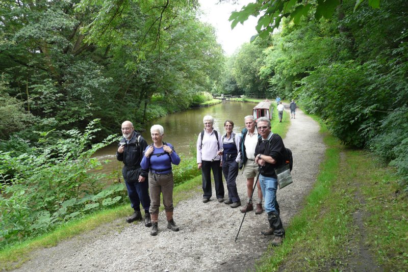
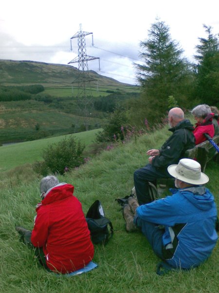
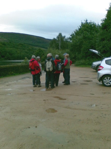
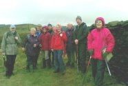
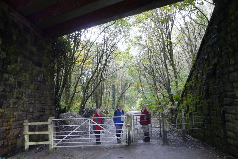
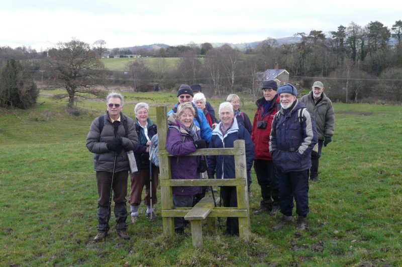
We usually meet on the last Wednesday of each month and on the second Tuesday of every other month, at 9:30am by the village hall.
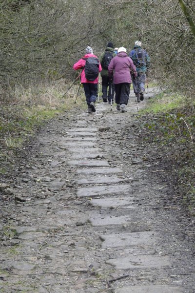
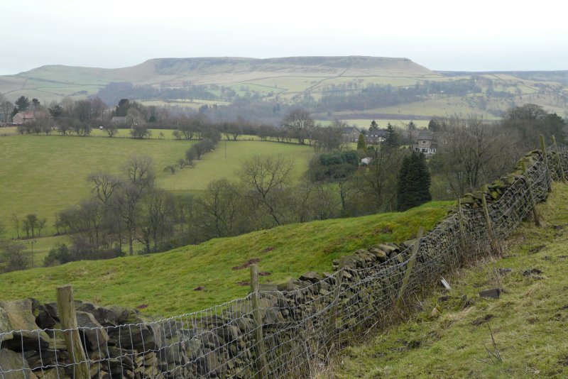
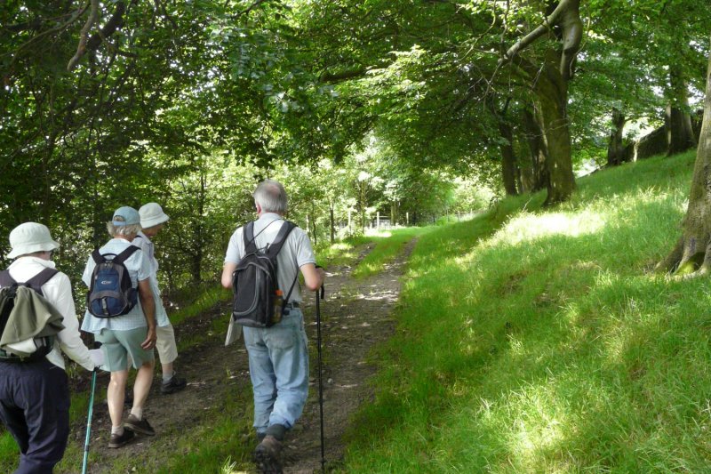
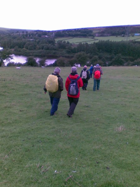
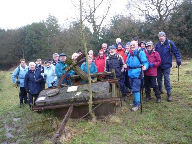
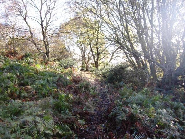
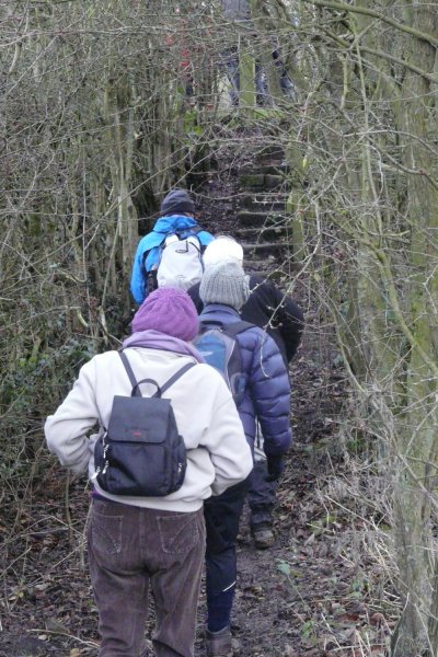
Walks are not long or strenuous; 5 or 6 miles on average, each with a different leader.
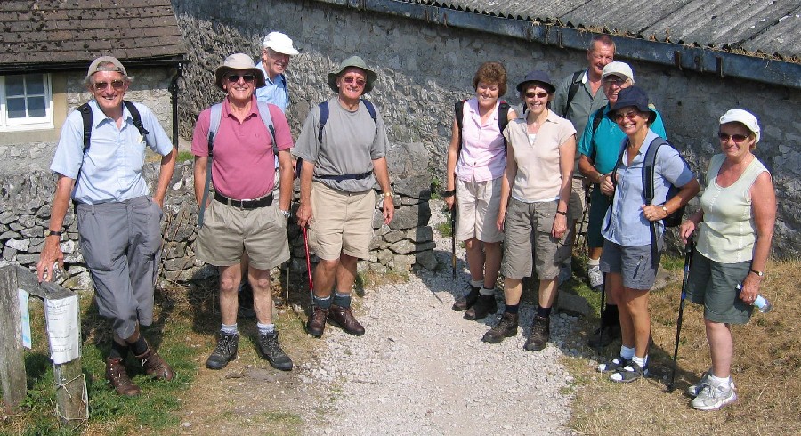
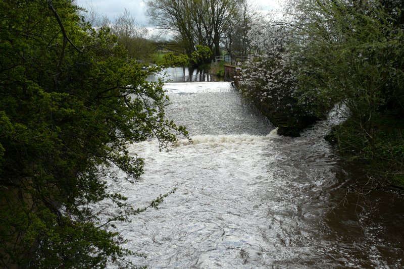
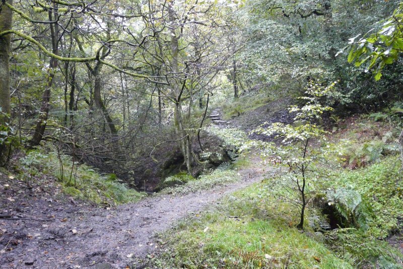
Come along to see the countryside in all its moods, sometimes bathed in sunshine, often with a shower or two, even perhaps with a carpet of snow!
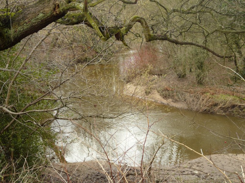
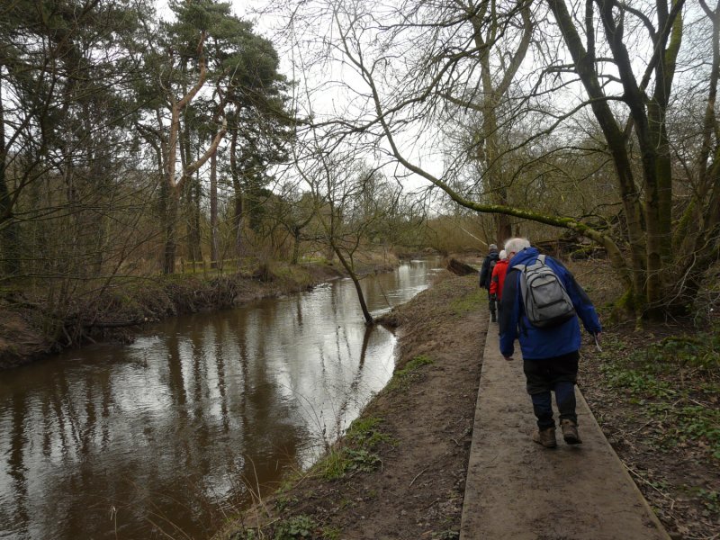
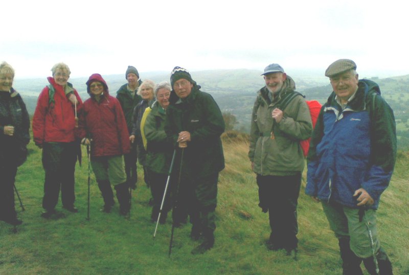
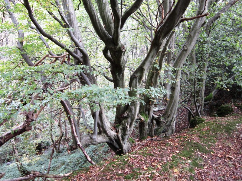
Our walkers might pass stone-age remains, badger setts and tracks, and fascinating old farmhouses and cottages.
 They
will certainly
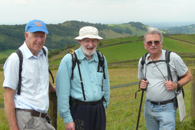
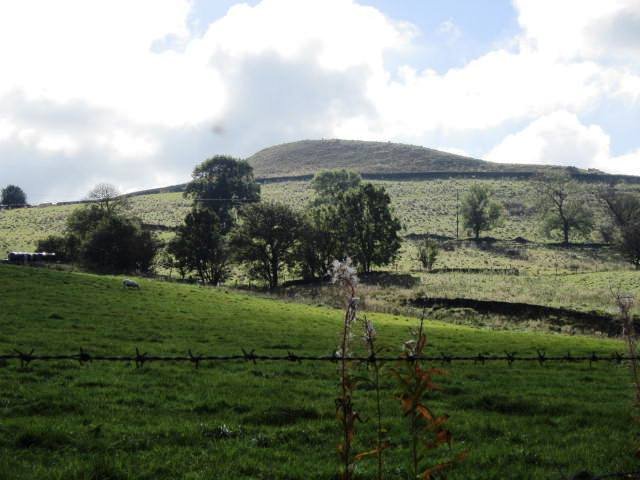
enjoy sweeping views over the Cheshire plain,
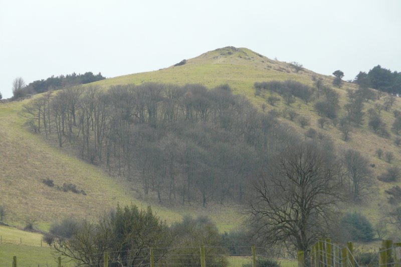
Peak District panoramas
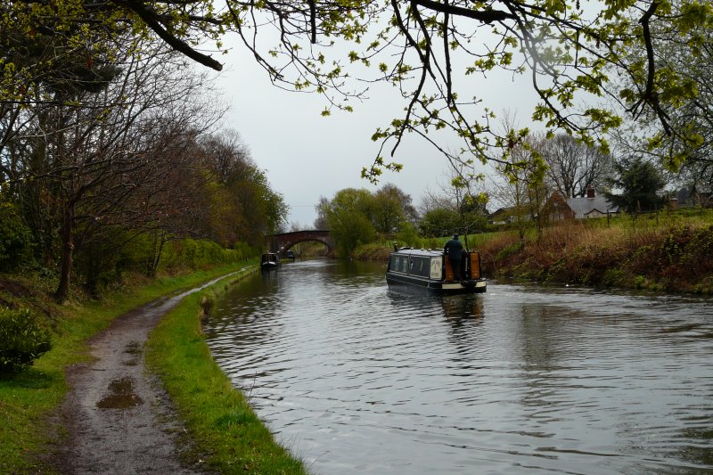
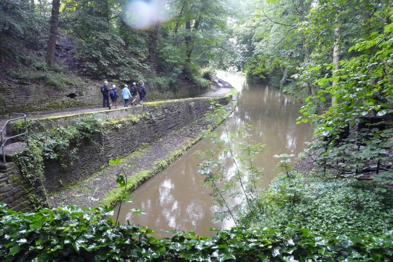
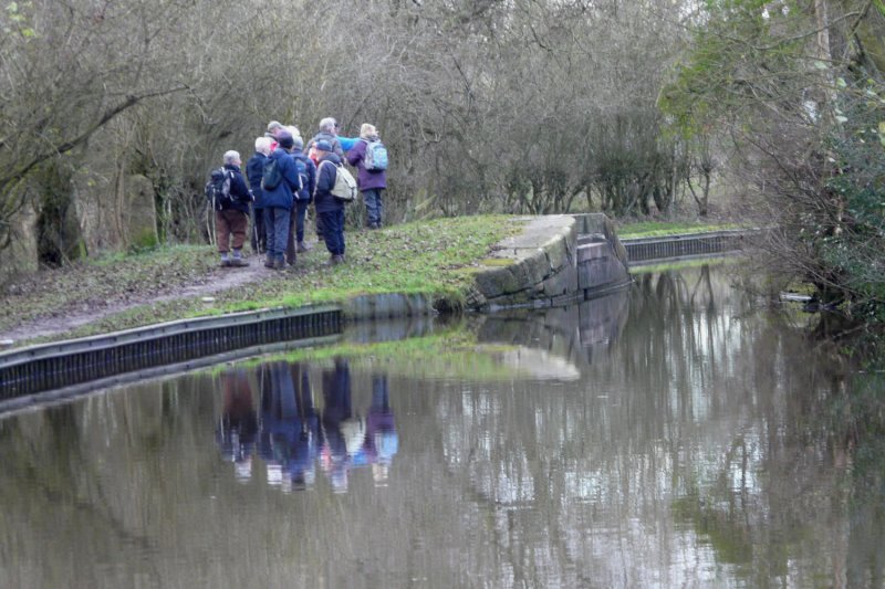
of hills and dales, and gentler scenery by canals and parkland in Lyme,
Alderley and Ladybrook.
They
will certainly
enjoy sweeping views over the Cheshire plain,
Peak District panoramas
of hills and dales, and gentler scenery by canals and parkland in Lyme,
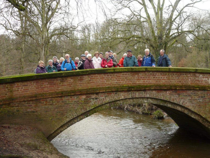
Alderley and Ladybrook. You are guaranteed a friendly welcome when you join us.
Do come!
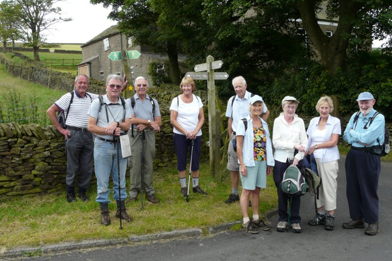
Group Leader: Walter Mason
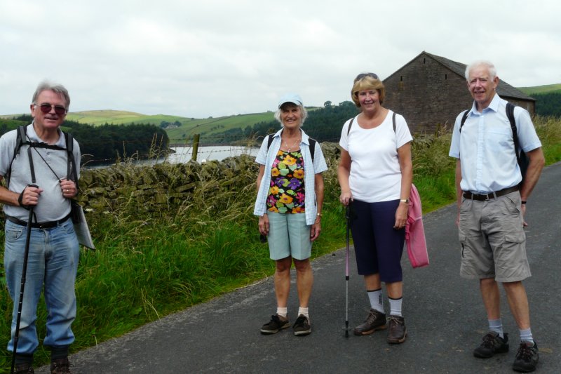
JAN WEDNESDAY 25 LOUANNE & PETER COLLINS – Lindow
FEB TUESDAY 14 JOHN/BARBARA MCCARTNEY – Local Valentine Day's walk
WEDNESDAY 22 GERRY & JAN CHARTRES
Peak Forest Tramway and around Eccles Pike.
MAR WEDNESDAY 28 WALTER MASON – Greenfield Area
APR TUESDAY 10 WALTER MASON – Dunham Massey
WEDNESDAY 25 SAM & IRENE CHAPPELL – Combs Area
MAY WEDNESDAY 30 MERLYN & JOYCE YOUNG – Three Shires Head Walk
JUN TUESDAY 12 JEAN & ROGER DRINKWATER – Teggs Nose
WEDNESDAY 27 DAVID LLOYD – Castleton
JUL 6th to 8th Two nights away break, Mold, N.Wales
WEDNESDAY 25 ALISON ALLERTON – Rainow
AUG TUESDAY 7 STEVE REYNOLDS – Chadkirk, Otterspool & Goyt Valley
WEDNESDAY 29 GERRY & JAN CHARTRES – Longdendale Valley, near Tintwistle
SEPT WEDNESDAY 26 RUTH & DAVE SMITH – Kettleshulme and Taxal Edge
OCT TUESDAY 2 LOUANNE & PETER COLLINS – Broadley (Just North of Rochdale)
WEDNESDAY 31 MERLYN & JOYCE YOUNG
Bollington, Harrop Wood, Rainow Low, Savio House
NOV WEDNESDAY 28 PAT & NOEL CHRISTOPHER
DEC WEDNESDAY 19 RICHARD & SUSAN CLARK
2013
30 Jun to 2 July,
2013 2 Nights Away Break in Keswick. Cost
£114 per person (£30 extra for
singles). For details of accommodation and walks contact Walter Mason
singles). For details of accommodation and walks contact Walter Mason
JANUARY 25 Louanne and Peter’s Lindow walk.
Report on the Walk
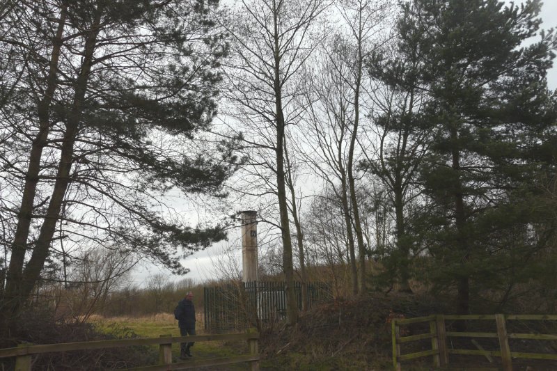
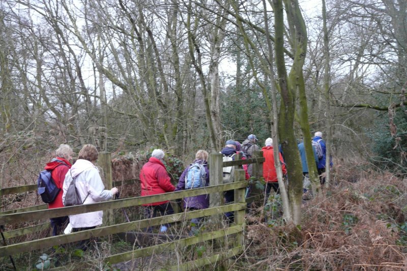
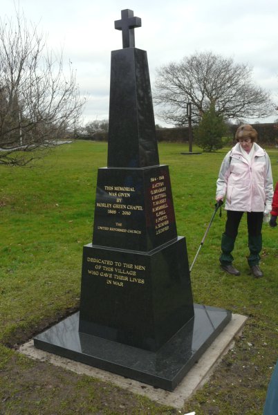
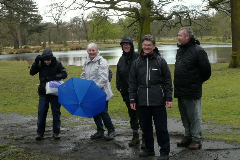
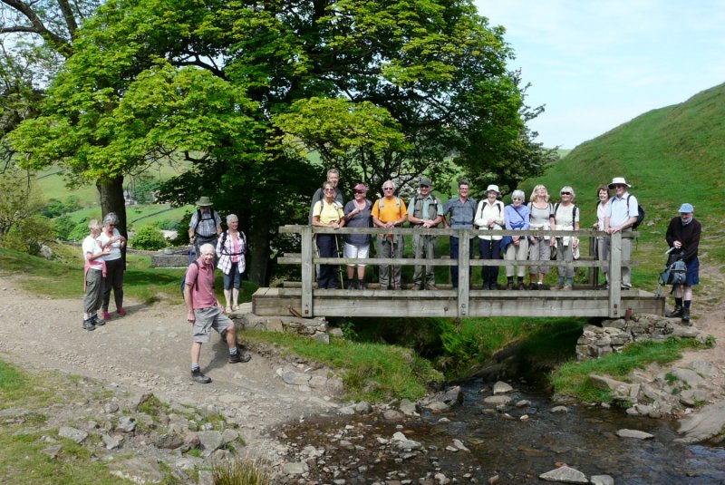
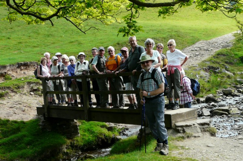
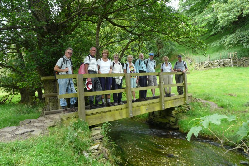
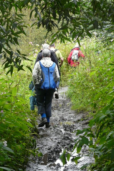
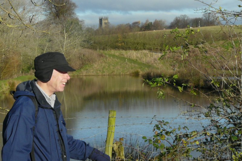
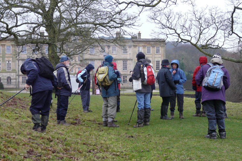
The first walk of 2012 attracted 21 walkers to enjoy Louanne and Peter’s Lindow walk. This was flat and gentle on a mild and cloudy day, with just some sticky stretches from the previous day’s rain.
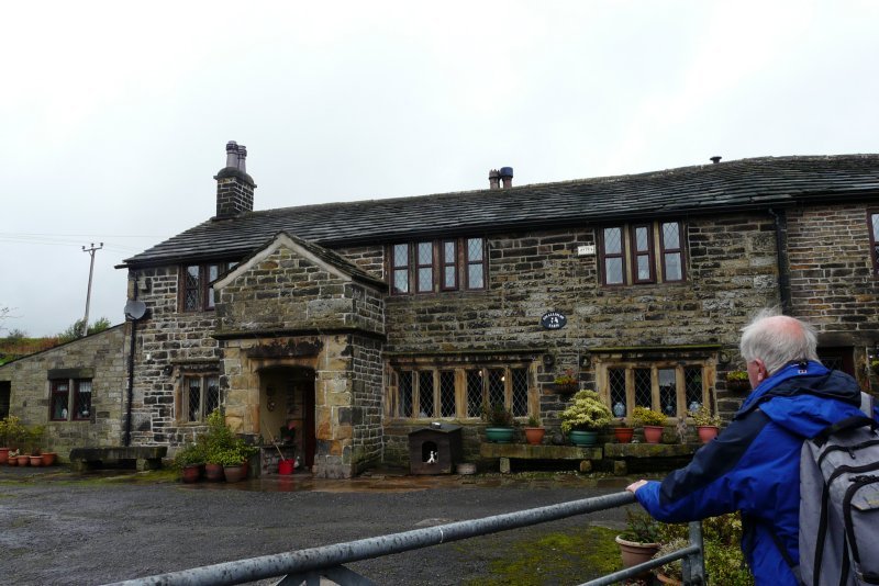
From the car park, we did a quick circuit of Lindow Common, passing by Black Lake, then headed along Newgate. A right turn took us past Lindow Moss, and then across a former landfill site, now attractively landscaped but still with a working methane burner to cope with generated gases. The well-cared for war memorial at Morley Green was next, before the route took a succession of minor roads, including past Oak Farm and Moss Brow Farm, finally taking a coffee stop near Pownall Park.
 |
 |
 |
 |
 |
 |
 |
 |
 |
 |
Walter Mason
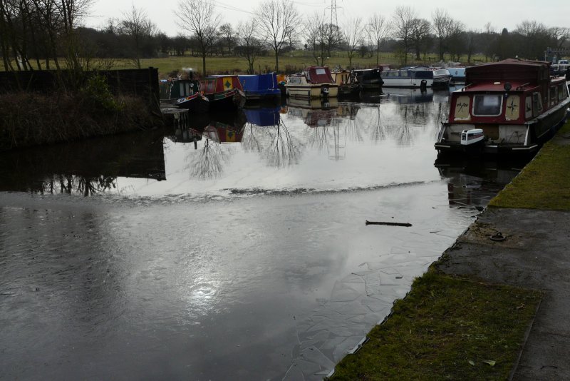
FEBRUARY 14 John McCartney’s Valentine’s Day walk.
Report on the Walk
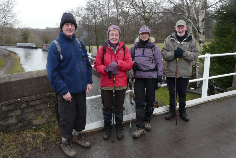
Perhaps the alternatives – table tennis, tennis, “colour me beautiful”, and half term demands for grandchildren minding – meant that only an elite group of walkers enjoyed John McCartney’s Valentine’s Day walk.
Thick ice still sealed most of the canal, but snow had departed from the fields as we walked up the gentle gradients from Higher Poynton towards Four Winds, Lyme Park and then Plattwood Farm back to the canal. It was a misty, still day and apart from one or two short stretches, it was quite firm underfoot on the familiar tracks and paths chosen for the 4½ mile route.
 |
 |
 |
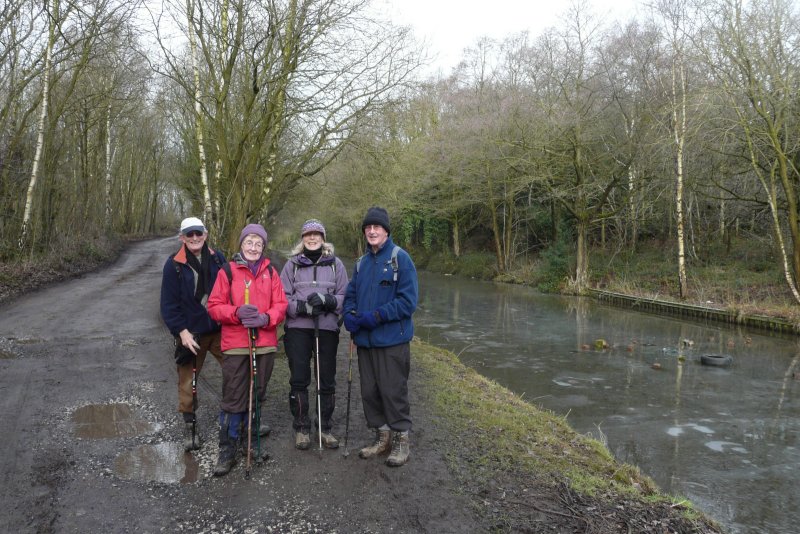 |
All in all it was a very pleasant walk, rounded off by a convivial carvery in the Dog and Partridge – even if, on the day, John didn’t have to part with too many Roses (chocolates)! Thanks John.
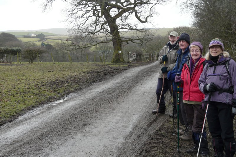
FEBRUARY 22 Jan and Gerry, Peak Forest Tramway and around Eccles Pike.
Report on the Walk
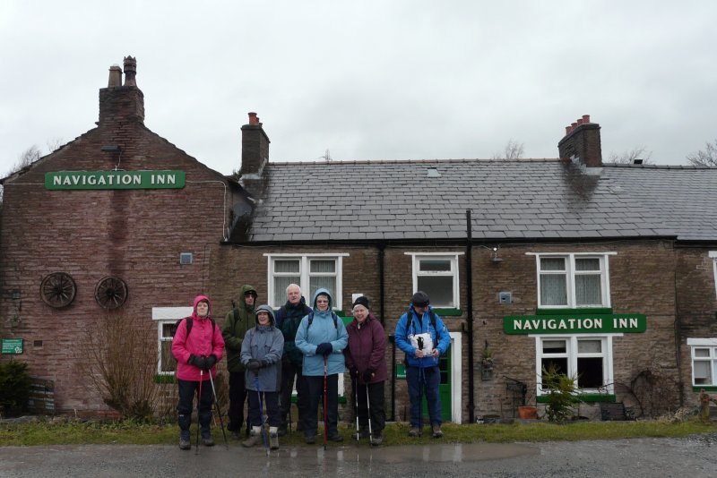 Gerry and
Jan Chartres had prepared meticulously for their 4½
mile walk from Buxworth. But the weather forecasters had other
ideas, and an abysmal forecast of heavy rain deterred several. In the
event, most of this very pleasant walk, was dry, and the threatened
rain only arrived when the Navigation Inn was in sight with an easy
downhill stretch to go!
Gerry and
Jan Chartres had prepared meticulously for their 4½
mile walk from Buxworth. But the weather forecasters had other
ideas, and an abysmal forecast of heavy rain deterred several. In the
event, most of this very pleasant walk, was dry, and the threatened
rain only arrived when the Navigation Inn was in sight with an easy
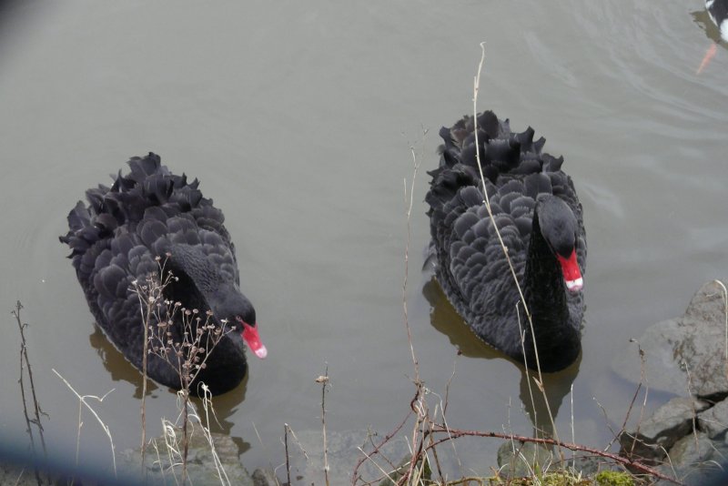
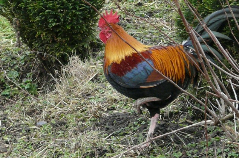
downhill stretch to go!A group of eight followed the easy going of the former Peak Forest/Bugsworth Tramway, with glimpses of sleeper bearings on the route, and black swans on the former mill ponds alongside. At Charley Lane we started climbing, and then went up several field paths, past Hallhill Farm (with panoramic views) and Lidgate Farm (with crowing cock), before contouring on a lovely green bridleway, and then a footpath below Eccles Pike.
 |
 |
 |
 |
 |
 |
 |
 |
With heavy rain approaching, signalled by thick mist on the westward horizon, we wisely took the lane down to Portobello and Crist, then over a highlevel footbridge, with the Buxworth bypass deep below, back to the Navigation where two others joined our party. A lovely day was rounded off with very satisfying meals, and we were very grateful to Gerry and Jan and their hard work.
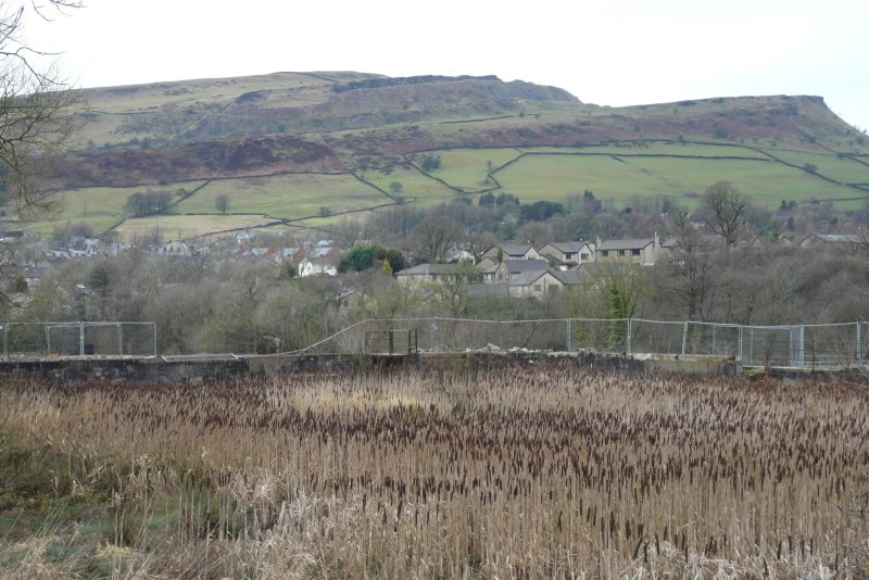
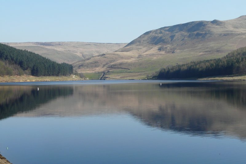
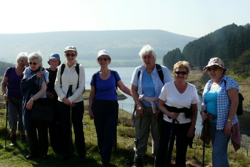
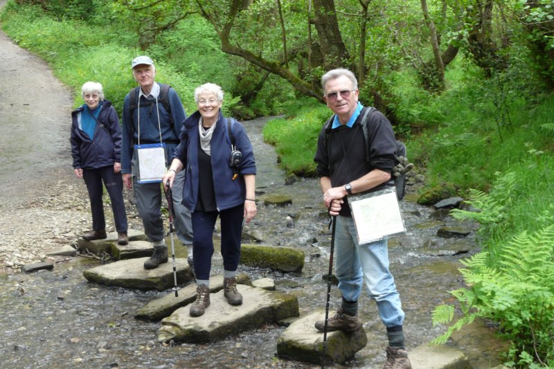
MARCH 28 Walter Mason’s Greenfield walk.
Report on the Walk
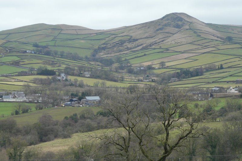
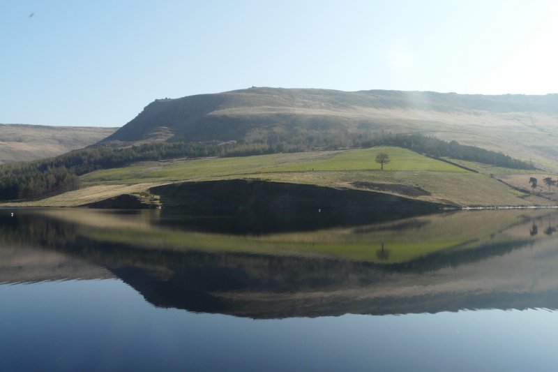
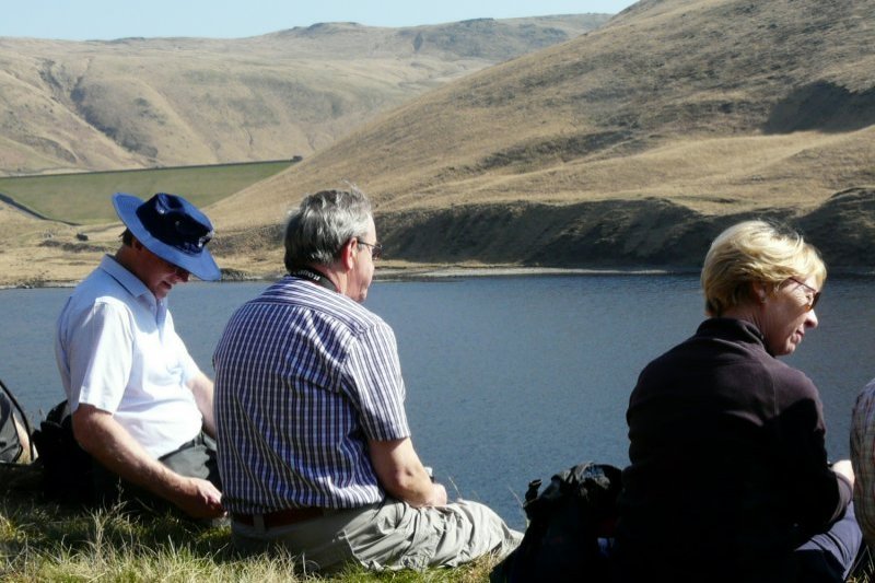
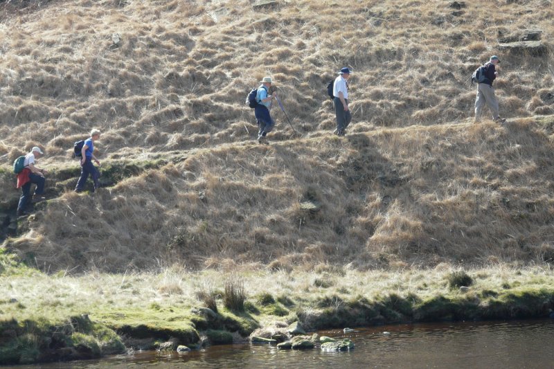
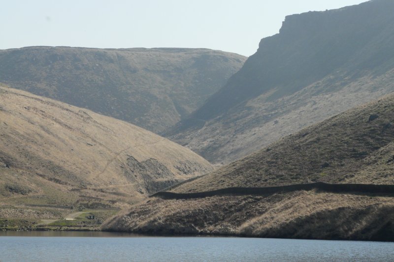
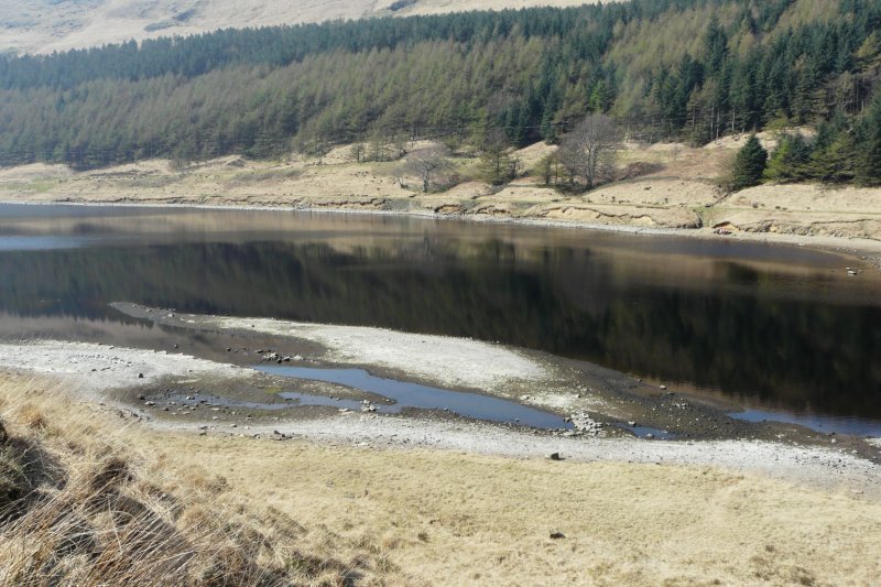
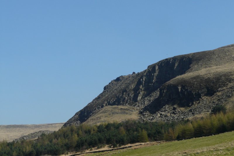
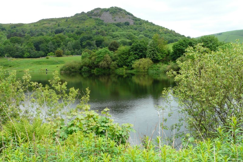
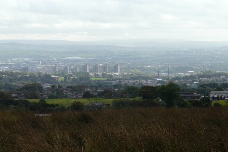
The 17 walkers driving slowly through the continuous built-up area of Hyde, Dukinfield, Ashton and Staly bridge, en route to Greenfield, might have wondered where on earth Walter could possibly find a pleasant walk for them. Three quarters of an hour later, the majestic horseshoe of mountains surrounding the three reservoirs fed principally by Greenfield and Chew Brooks, gave the answer.
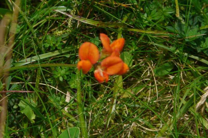
A glorious day with a cloudless sky and warm sunshine allowed us to admire the changing scenery as we took a quiet path by the trees above Dovestone reservoir, and then followed the access track by Yeoman Hey and Greenfield reservoirs into the heart of the hills. Occasional coltsfoot were scattered on the banks of the feeder channel. Encouraged by a local lady with local knowledge, 5 of our number used stepping stones to continue on the far bank of Greenfield reservoir, while the rest of us retreated on the easy near bank to join up over the dam for a lunch stop. There had been many cars and people in the car park, but here all was quiet. No car or people noise to disturb us; just the occasional sound of a pheasant in the far distance.
 |
 |
 |
 |
 |
 |
 |
 |
Then we returned by firm tracks on the opposite side of the reservoirs, with equally nice views, and just the occasional damp streamlet to negotiate. There was additional interest in the yacht club area, with new copses of dedicated saplings, and for Merlyn, a re-discovery of relics of the former thriving scout site, abandoned when the Dovestone reservoir was constructed.
 |
 |
 |
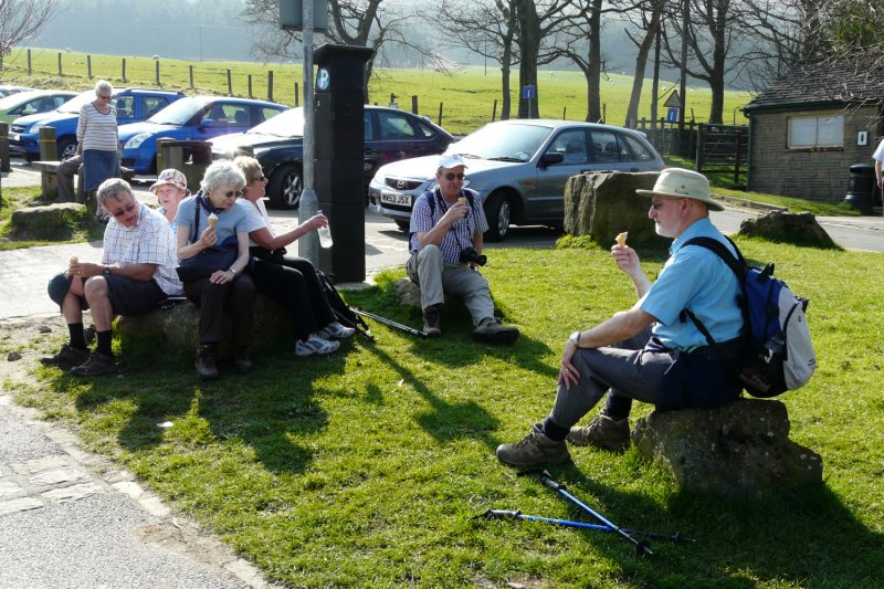 |
A perfect day was rounded off by welcome visits to the Fairclough’s ice cream van, parked conveniently alongside our cars, and everybody seemed very happy with their walk.
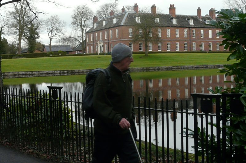
APRIL 10 Walter Mason’s Dunham Massey walk.
Report on the Walk
 7
joined Walter (standing in for Brian Farquahar) on an easy 4½
mile amble
from Dunham Massey. The sky was dark and threatening as we turned
away from the car park onto the pleasant byway of Brickkiln Lane,
leading to the charming hamlet of Little Bollington.
7
joined Walter (standing in for Brian Farquahar) on an easy 4½
mile amble
from Dunham Massey. The sky was dark and threatening as we turned
away from the car park onto the pleasant byway of Brickkiln Lane,
leading to the charming hamlet of Little Bollington.A narrow footbridge over the River Bollin, and a cobbled path led to the famous Bridgewater Canal, on a raised embankment above us. The first of several heavy showers caught us on this exposed stretch, before we
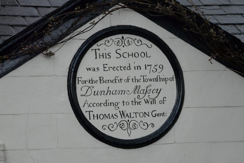
descended to join School Lane by Little Heath Farm, and passed the old
schoolhouse.
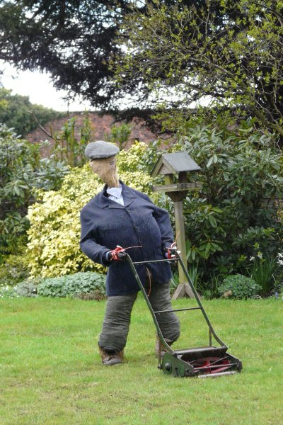
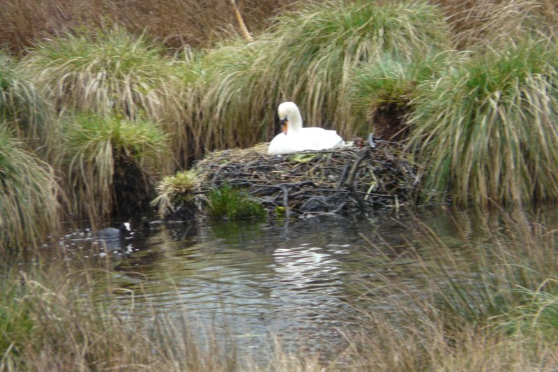
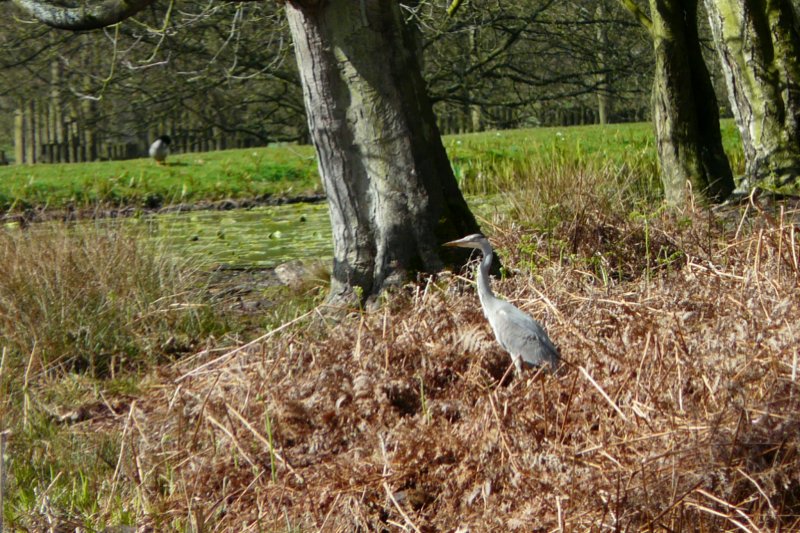
Some field paths circled round to Dunham Town, past a lawn-mowing scarecrow,and over high steps into the deer park with a nesting swan by Smithy Pool. Then the way was parallel to Charcoal Road, before turning to head through a tree nursery and deer sanctuary, and eventually joining a long and impressive grassy drive, past a lone heron, back to Dunham Massey Hall and our varied eating arrangements.
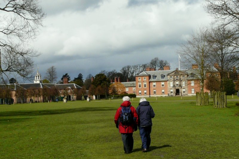
Walter Mason
APRIL 25 SAM & IRENE CHAPPELL – Combs Area
Report on the Walk
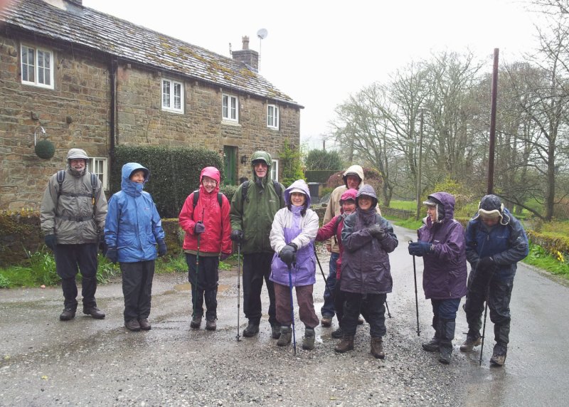 The
weather could have been worse – but not much worse, as 11
stalwart walkers led by Sam and Irene Chappell set off in the pouring
rain, and headed for the little hamlet of Rye Flatt. Staying with
the track, we headed upwards to Alstone Lee, and shortly after left the
farm track, to descend by way of a field track towards Broadlee Farm.
The
weather could have been worse – but not much worse, as 11
stalwart walkers led by Sam and Irene Chappell set off in the pouring
rain, and headed for the little hamlet of Rye Flatt. Staying with
the track, we headed upwards to Alstone Lee, and shortly after left the
farm track, to descend by way of a field track towards Broadlee Farm.It was here that Pam did a back flip off a little wooden footbridge right into the stream, closely followed by Roy, who jumped in to help only to find himself knee deep in the stream. Fortunately, neither Pam nor Roy were the worse for their ordeal, and the group continued up the ever increasingly steep but easy path to the White Hall Outdoor Centre. The wind, blowing hard and behind us now, provided much needed assistance up the last steep stretch, before we stopped for coffee in the shelter of a high wall.
With much of the hard work done, we turned North, straight into the driving rain, to begin our return down to Combs. The route took us past Hazelhurst Farm, and then Haylee-Farm, where tiny shivering lambs were trying their best to find shelter from the heavy rain and the cold wind. It was
 downhill all the way now, and relatively
easy going, except for three quite difficult stone stiles.
downhill all the way now, and relatively
easy going, except for three quite difficult stone stiles.The party arrived back in Combs after about 2 hours walking, a wet but very cheerful group, to the welcoming warmth of the Beehive pub, who very quickly served a very good lunch.
Sam and Irene Chappell
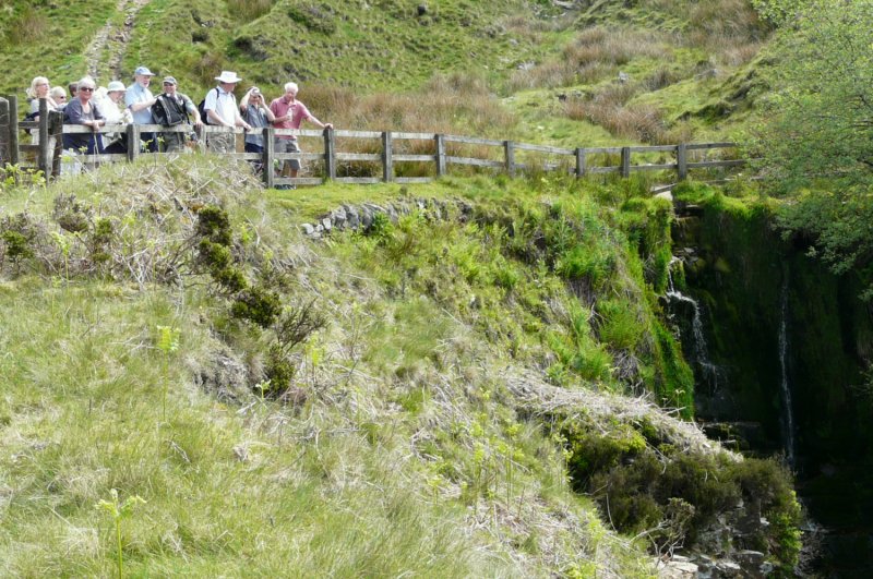
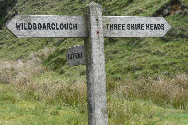
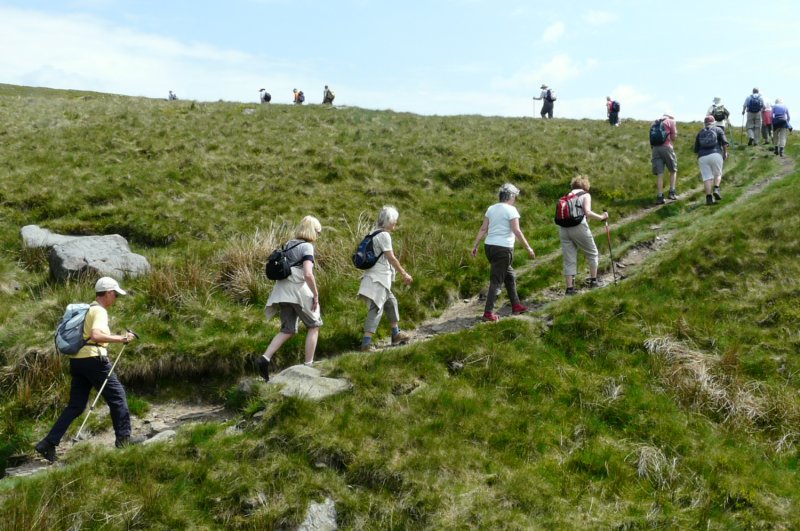
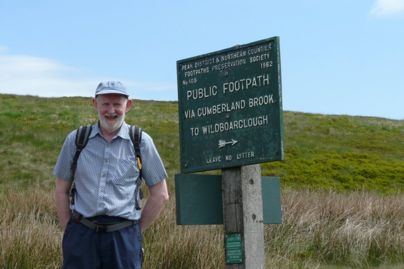
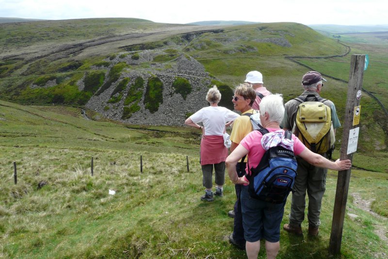
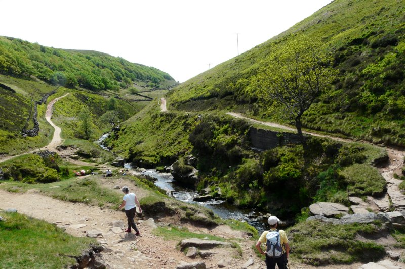
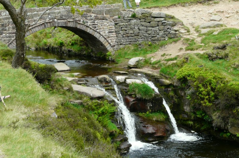
MAY 30 Merlyn and Joyce Young’s Three Shire Heads walk.
Report on the Walk
 Merlyn and
Joyce Young led a group of 20 from Wildboarclough to Three Shire Heads,
a favourite place for many, and steeped in folklore.
Merlyn and
Joyce Young led a group of 20 from Wildboarclough to Three Shire Heads,
a favourite place for many, and steeped in folklore.The gentler sun and a somewhat cooler day was a godsend, as we ascended 700 foot or so by Cumberland Brook to Danebower Hollow, all part of Lord Derby’s lands.
 |
 |
 |
 |
 |
 |
 |
 |
 |
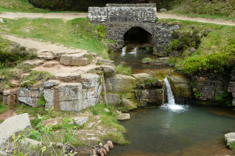 |
A winding path followed the growing stream down to Three Shire Heads. As we walked along, grouse, skylarks, buzzards, lapwings and cuckoos were enlivening and serenading our progress. After lunch, we reluctantly left the picturesque pools and waterfalls, on a stony path climbing and rounding Cut-thorn Hill. Then it was a relief to have a downhill path across grassy fields, and to go down a minor road past Crag Hall, with its multi-horsetroughs, back to our cars at Clough House.
 |
 |
 |
Thanks to Merlyn and Joyce for a toughish but lovely 5½ mile walk.
Walter Mason
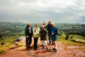
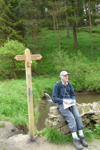
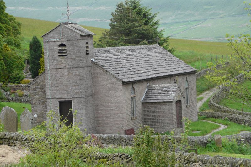
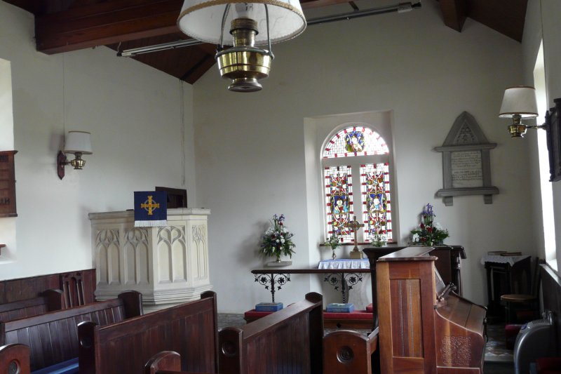
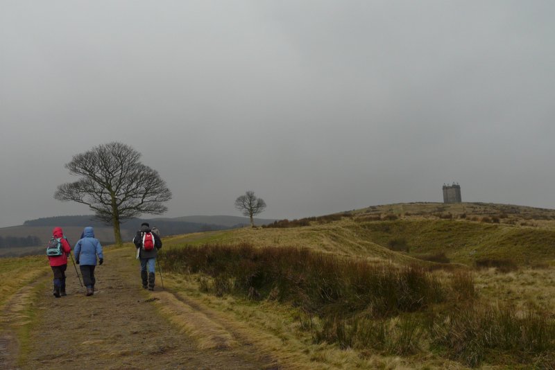
JUNE 12 Roger Drinkwater – Teggs Nose walk.
Report on the Walk
With the agreement of the 5 walkers, Roger Drinkwater proposed a longer 7 mile walk from Tegg’s Nose. This enabled a lovely circuit from the quarry faces, down Ward’s Knob, past Teggsnose and Bottoms Reservoirs and on woodland paths by Greenbank and Trentabank up to the Forest Chapel for a well earned lunch.
 |
 |
 |
 |
 |
 |
 |
 |
 |
 |
 |
 |
Walter Mason
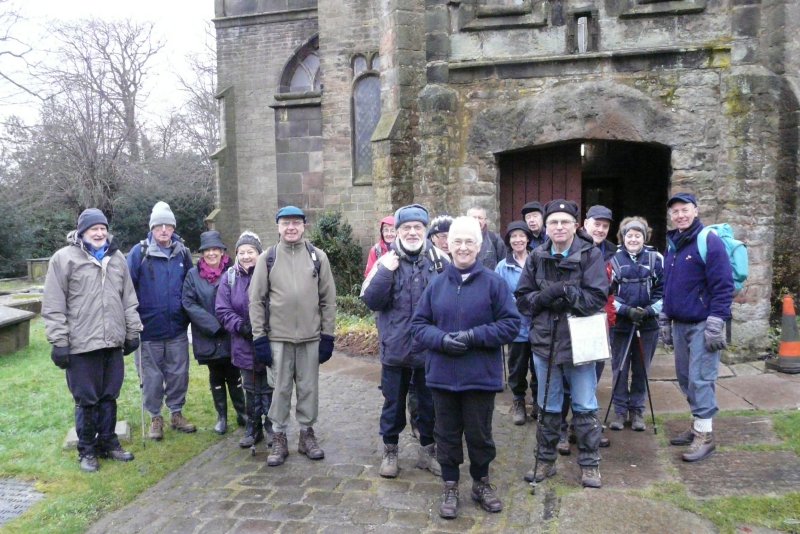
JUNE 27 David Lloyd – Castleton.
Report on the Walk
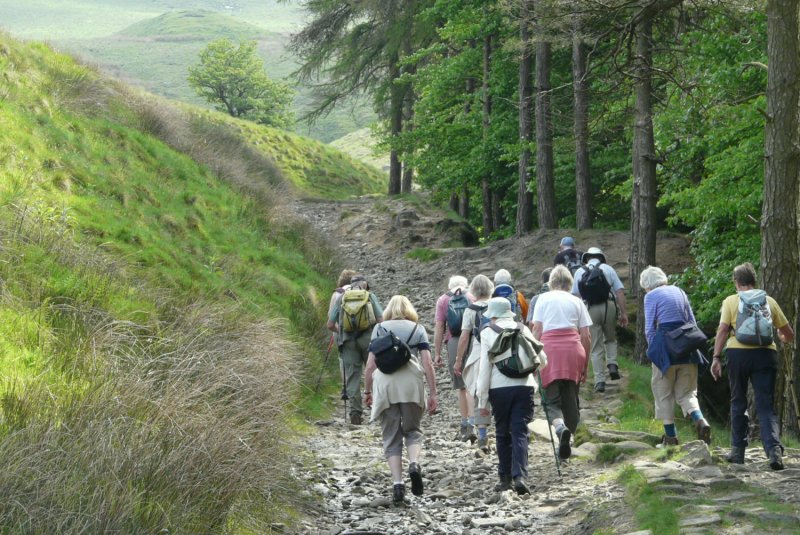
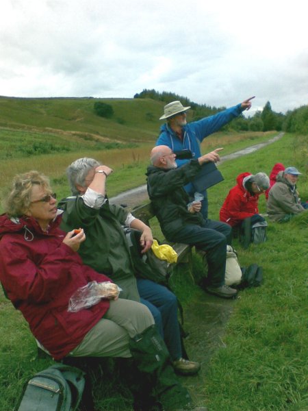
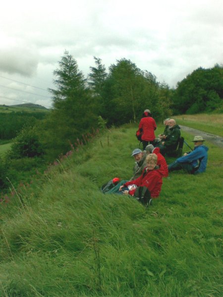
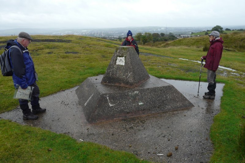
Eighteen members walked on a day when the weather tantalised with hints of sunshine and threats of rain. The sun obliged on occasion but the rain held off.
On assembling outside the Castleton tourist office our party proceeded through the village and began the long trek up Cavedale. After the recent heavy rains the path was running like a stream and gave us the impression we were "canyoning" rather than rambling,
At the top of the dale we had a well earned coffee stop before continuing to Windy Knoll and lunch in the shelter of the quarry.
One or two members of the group did think of doing a spot of caving to work their lunch off, but one look at the cave entrance soon made them change their minds.
After lunch we continued past the Blue John Cavern and the Treak Cliff Cavern with "loo" and ice cream stops at both. This section of the walk presented us with panoramic views of the Hope Valley and the Great Ridge. The last part of the walk was through the fields of the Longcliffe Estate and back into Castleton.
 |
 |
 |
David Lloyd
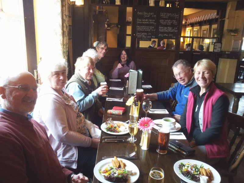
JULY 25
Report on the Walk
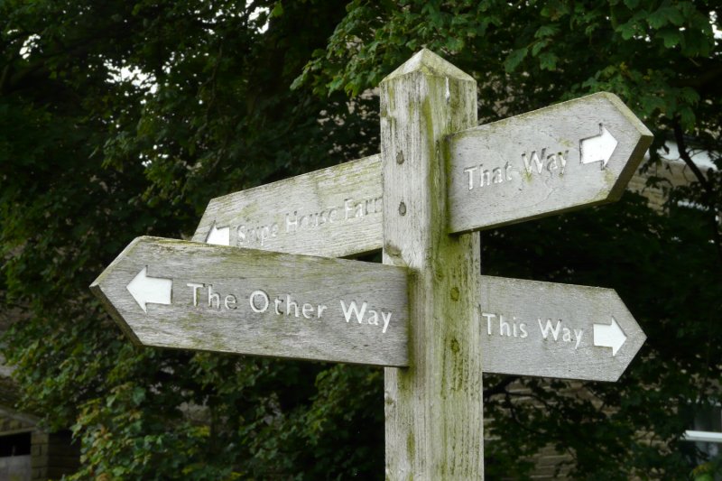
10 accompanied Alison Allerton on a very pleasant walk from Rainow church (Brian was still recovering from a “fight” with a stone wall!). An easy pace took us to Snipe House Farm, with direction signs pointing “this way”, “that way” and “the other way”! But we continued (“the other way”) to Lamaload Reservoir and followed clockwise on the reservoir circuit until branching off at Lower Ballgreave Farm in the direction of Walker Barn.
 |
 |
 |
 |
 |
 |
 |
 |
 |
 |
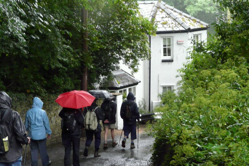
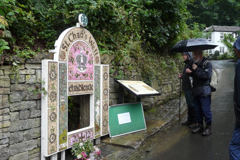
AUGUST 7
Report on the Walk
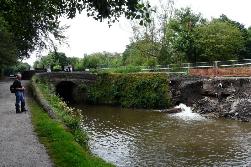
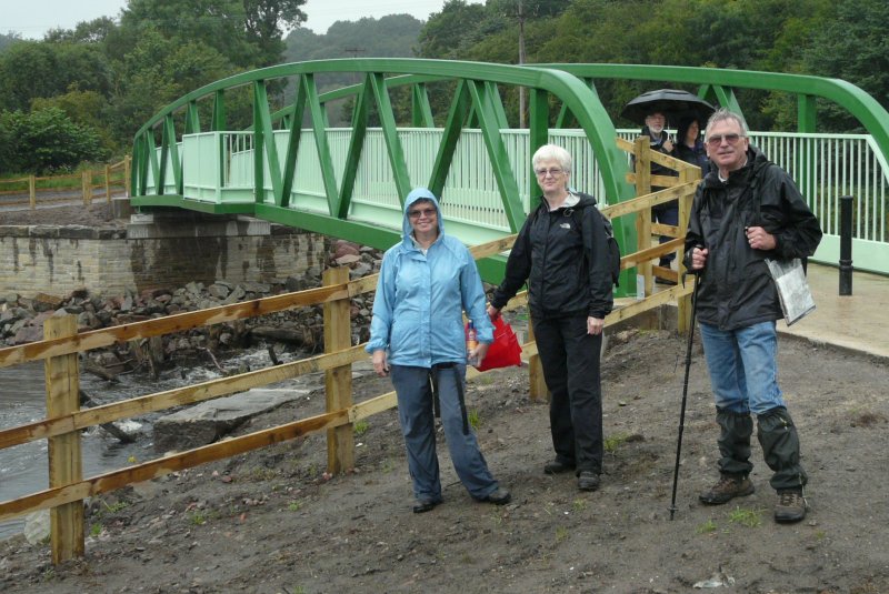
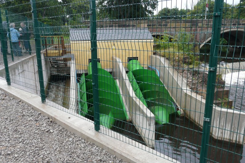
Chairman Steve Reynolds took 9 walkers on a 5 mile “green” walk, starting with a succession of paths, through the Ley Hey Park area of Marple, onto the canal lock staircase. Recent rain had caused a bank to collapse at lock 7, closing the canal for a time. Even more recent rain soon wet our heads, and continued till midday.
 |
 |
 |
 |
 |
 |
 |
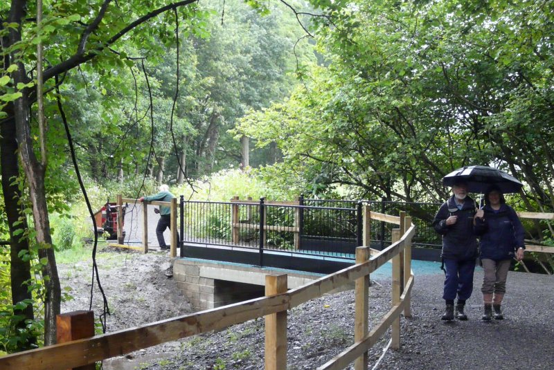 |
Meanwhile we continued back along
Vale Road, to re-cross the new bridge, but this time to go left on the
very muddy footpath past Lower Dale Farm, and then the track which
passes Marple Dale Hall. Distant glimpses of Oakwood
Hall aroused our curiosity – a fascinating history - mill
owner’s place, girls school, TPT aquisition,
grammar school – now beautifully renovated, and currently yours
for a cool £1,850,000!
Walter Mason
AUGUST 29
Report on the Walk
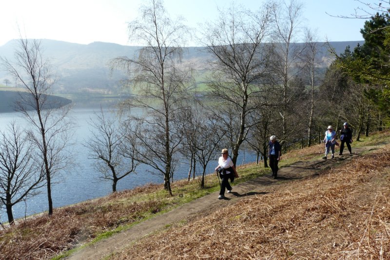
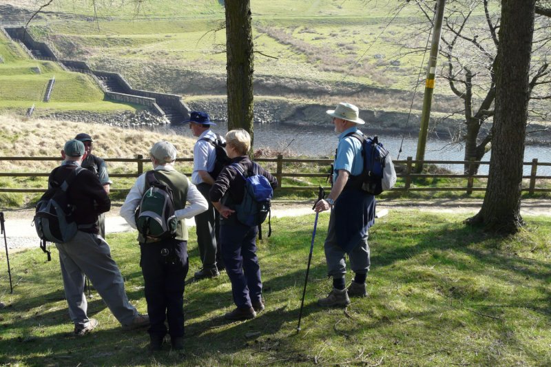
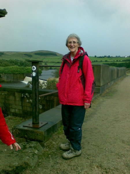
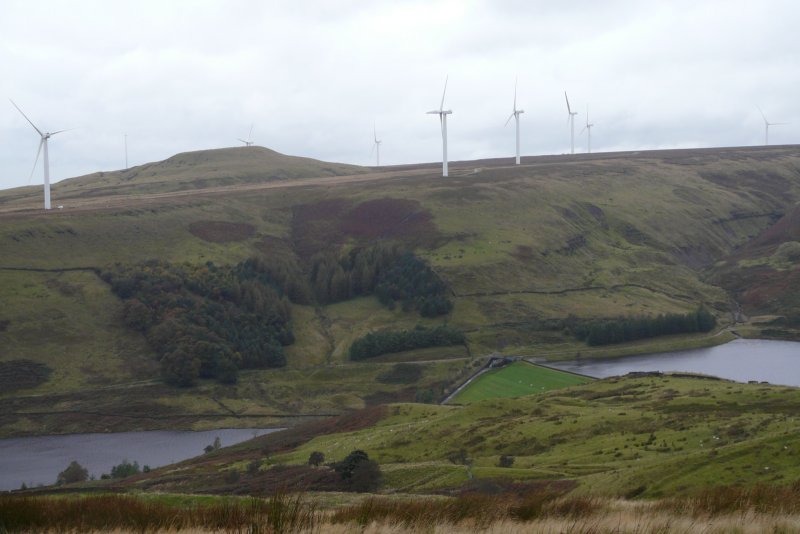
"Gusty winds and heavy rain"! That was the forecast for the August day, when nine of us decided, despite the forecast, to go on the 5½ mile walk planned by Jan & Gerry Chartres. This walk was around reservoirs in the Longdendale valley near Tintwistle, just north of Glossop.
We were all prepared for the worst in full waterproof gear, but in the event we only had rain for a short time at the start, and a little more after lunch, so all said that they were pleased they decided to go.
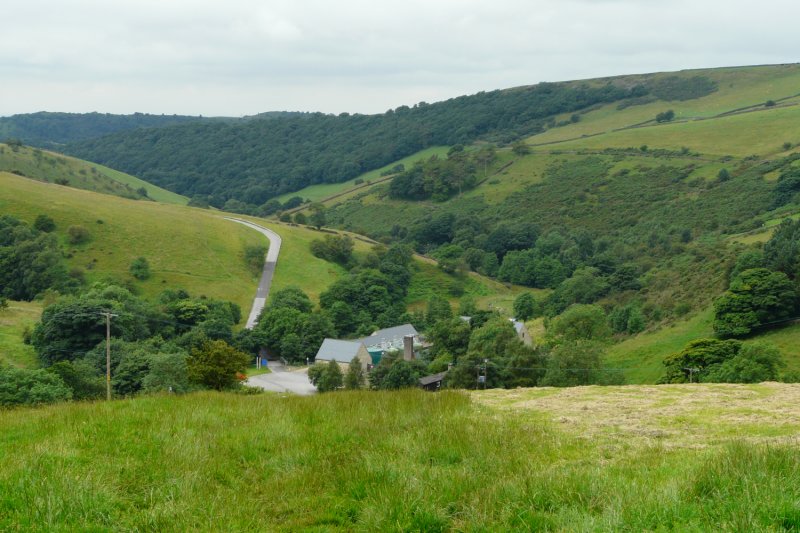
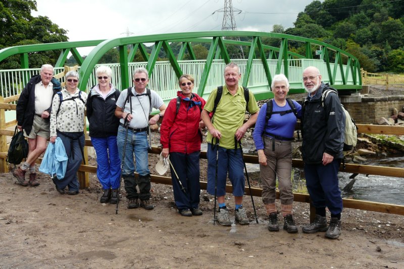
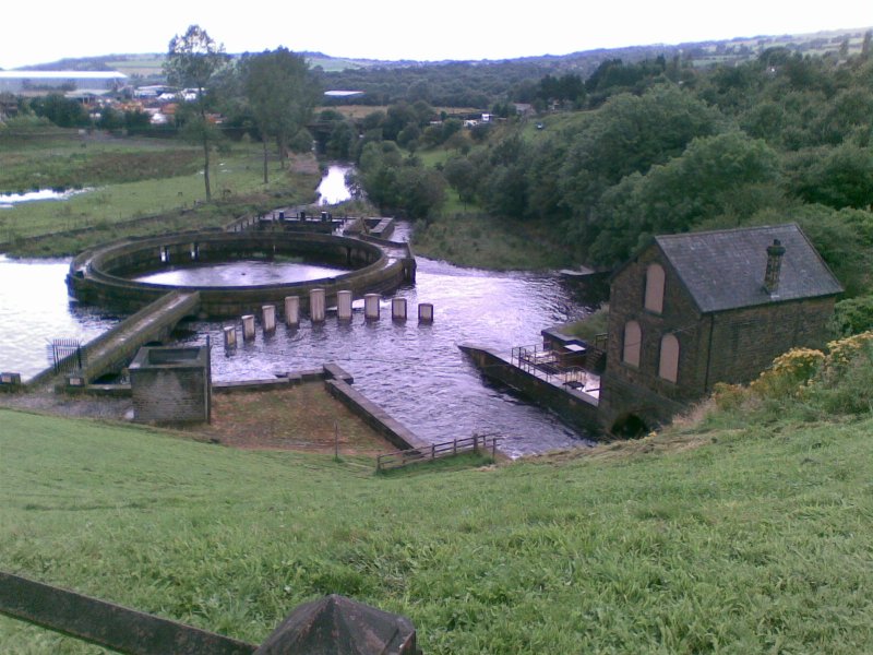
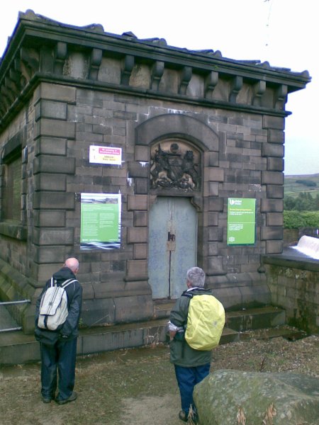
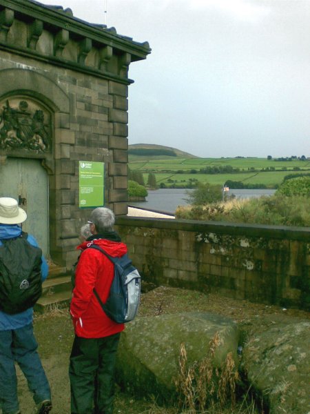
The reservoirs are a linked chain of five, which stretch for 6 miles along the valley, and we walked around the three at the south-western end. When they were built around 1850 to 1880, to supply Manchester and local towns, they formed the largest expanse of man-made water storage in the world!
We started at the Valehouse dam and walked along a paved access road, which had originally been a tramway used to transport stone from local quarries to build the reservoirs. The "Coffee stop" overlooked the Rhodeswood reservoir, then we crossed the next (Torside) dam, on the Pennine Way, and climbed up to the Longdendale Trail, which also forms part of the Trans Pennine Trail. This is a disused railway line, now adapted for walking, cycling, and horse riding, rather like our own Middlewood Way.
Packed lunch was around a bench with extensive views across the water to the hills and moors on the far side, with expanses of bright coloured heather, and even a waterfall visible. Some of our members were able to tell us interesting facts about the area from their previous walks.
 |
 |
 |
 |
 |
 |
 |
Gerry Chartres
SEPTEMBER26
Report on the Walk
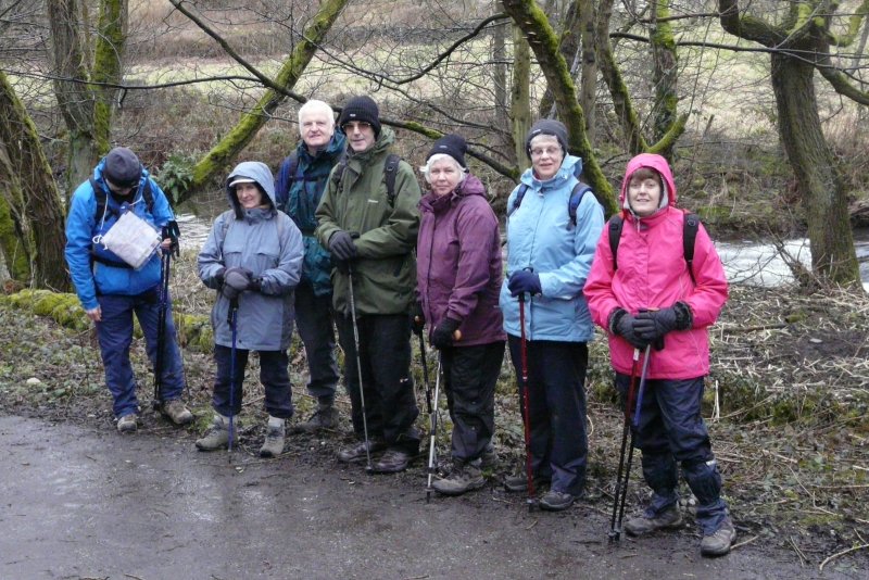
Led by Ruth and Dave Smith, eleven waterproofed clad folk set off for a walk “Close to the Edge”, starting from Kettleshulme (“Katil’s Island” – dating back to Viking times, and standing on the Salt Way which led from Cheshire salt towns to Sheffield).
Leaving Kettleshulme, after road and track walking, crossing of a swollen stream, and some steady climbing, we reached the edge – Taxal Edge. Although cloudy, there were 360 degree views across to Ladder, Coombs Moss, Eccles Pike, and Kinder; and opposite there was a view of Bowstones, with Whaley Bridge and Toddbrook reservoir below.
 |
 |
 |
Ruth Smith
OCTOBER 2
Report on the Walk
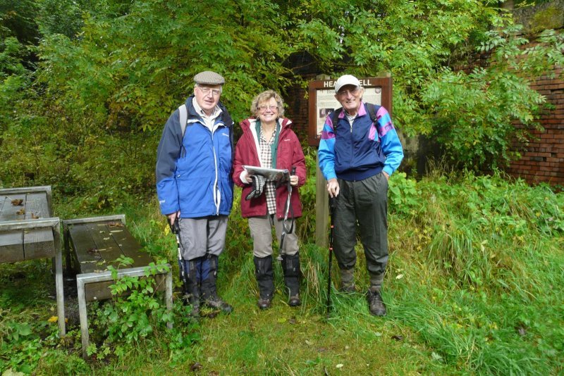 Louanne
and Peter Collins took an “elite” group of 4 to Healey
Dell, a nature reserve at the former Broadley Station, north of
Rochdale, where the former railway line now makes an attractive route.
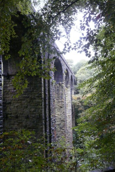
We went past a trio of wood sculptures, and over an impressive
viaduct, then made a steep descent to the River Spodden below.
Louanne
and Peter Collins took an “elite” group of 4 to Healey
Dell, a nature reserve at the former Broadley Station, north of
Rochdale, where the former railway line now makes an attractive route.
We went past a trio of wood sculptures, and over an impressive
viaduct, then made a steep descent to the River Spodden below. 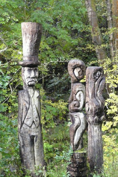 |
 |
 |
 |
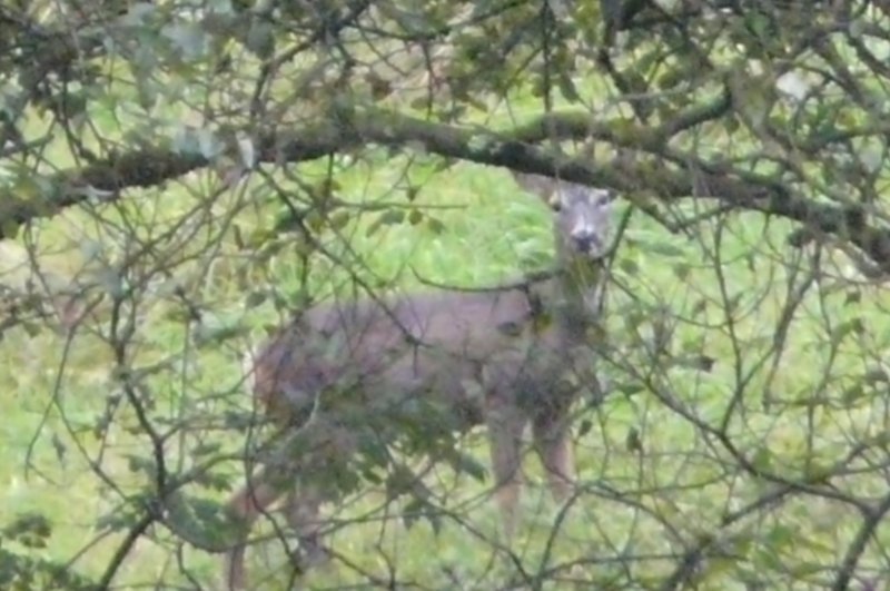
A narrow path led between a mill leat and the river gorge, with signs of past industry everywhere. Overnight rain had left the ground soggy in the dell, as we ascended on the far bank – surprising a wild deer – and reached picturesque Smallshaw Farm – and Catley Lane Head, where gardens of terraced cottages overlooked a reservoir.
 |
 |
 |
 |
From Bottom of Pooley Moor, the track passed Forsyth Brow, as wide views opened up of distant Rochdale and Manchester. One way a sparrowhawk hovered, then was diving for prey; the other way clusters of wind machines turned fitfully over Scout Moor. A moorland path led past Reddyshore to Windy Hillock, which became rainy hillock, as rain disturbed our packed lunch.
 The route
turned sharply onto the Rooley Moor
The route
turned sharply onto the Rooley MoorRoad, formerly a footpath called Catley Lane, but
transformed in the 1860’s by a massive job
creation project for workers hit by the cotton
famine. Long wide sections of neatly stone setted
road remain, all at 1500 feet over a deserted open
moorland – but, ironically, now threatened with overuse and possible destruction by frequent lorries carrying 28 million tons of rock aggregate – progress?
Lower down we turned into Knacks Lane, past a
monument missing its memorial plates, and on narrow lanes past Higher Dunnishbooth and back to Broadley. The dull weather had not done the route full justice, but it had all been packed with interest, and we were very pleased that Louanne and Peter had taken us out of our comfort zone,
to show us a new and fascinating territory in historic Lancashire.
Walter Mason
OCTOBER 31
Report on the Walk
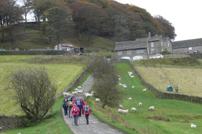
Despite the doubtful weather 13 members joined Merlyn and Joyce on this 6 mile autumnal walk along fields, country paths, woods and streams around little known paths in Bollington / Rainowlow. Despite the forecast the weather held fine throughout the walk and we all enjoyed having dry breaks for coffee and lunch.
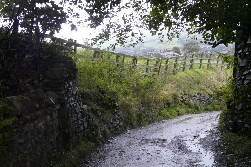
The walk started in Bollington on minor roads heading uphill towards Pot Shrigley passing the former Wizard & Cheshire Hunt pubs. Views of Bollington, White Nancy, and The Nab unfolded as we turned through fields into Harrop Valley heading for Berristall Hall Farm. Tales and facts of the 100 year war, the Black Prince, Percheron shire horses and 200 coal mines in Bollington/ Rainow were told by Merlyn.
 |
 |
 |
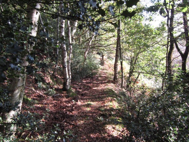
On leaving the wood we crossed Harrop Brook and followed the brook along an ancient tree lined pathway containing old Hornbeam coppiced hedges, bracken fungi, another capped coal mine, wooden musical instruments and a wooden carved woodpecker.
 |
 |
 |
 |
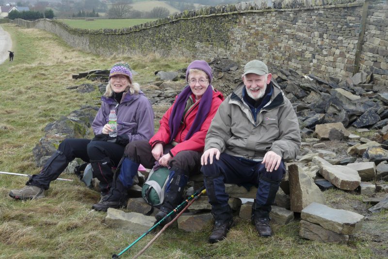
Uphill sections now completed we headed for lunch in the shelter of a wall adjacent to a view point above Rainowlow. Above us was “Big low” a Bronze Age burial mound and in front, misty views of the Cheshire plain.
Refreshed we passed the pretty hamlet of Rainowlow and descended Lima Clough into Oakenbank and Ingersley Vale.
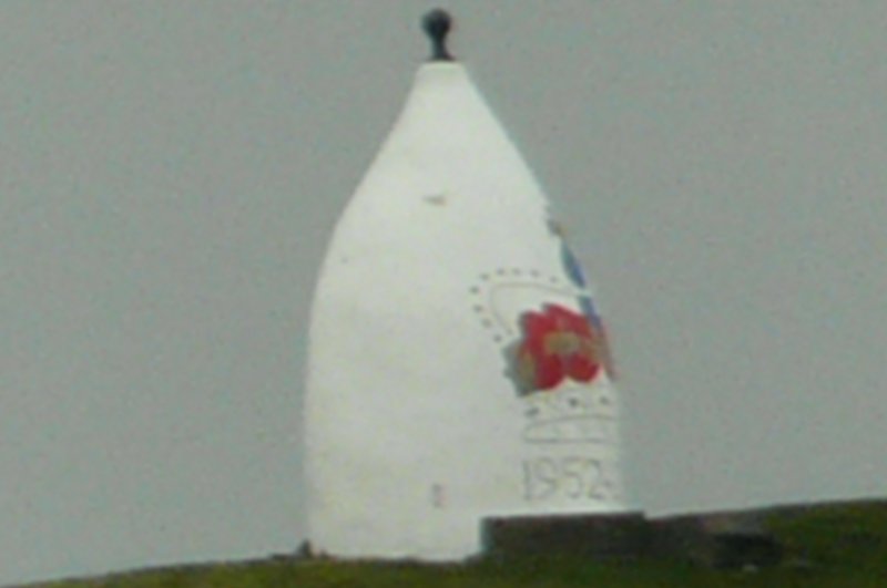
In the grounds of Savio House formerly Ingersley Hall, built for John Gaskell in 1775, we viewed White Nancy with its present Royal Diamond Jubilee crown and Olympic adornments. More history lessons from Merlyn about Savio House, White Nancy and Ingersley Mill below which had a 55 foot iron suspension water wheel.
 |
 |
 |
Merlyn Young
NOVEMBER 28
Report on the Walk
A group of 20 followed Noel and Pat’s walk from Gawsworth. It traversed pleasant paths through flat Cheshire fields, with many ponds, bisected the New and Old Gawsworth Halls, and joined a long field boundary with distant views of Macclesfield Forest, Croker Hill, and The Cloud.
 |
 |
 |
 |
 |
 |
 |
 |
 |
Walter Mason
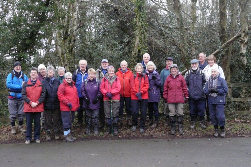
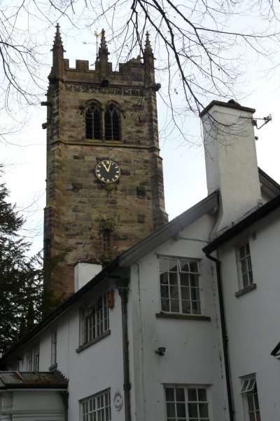
DECEMBER 19
Report on the Walk
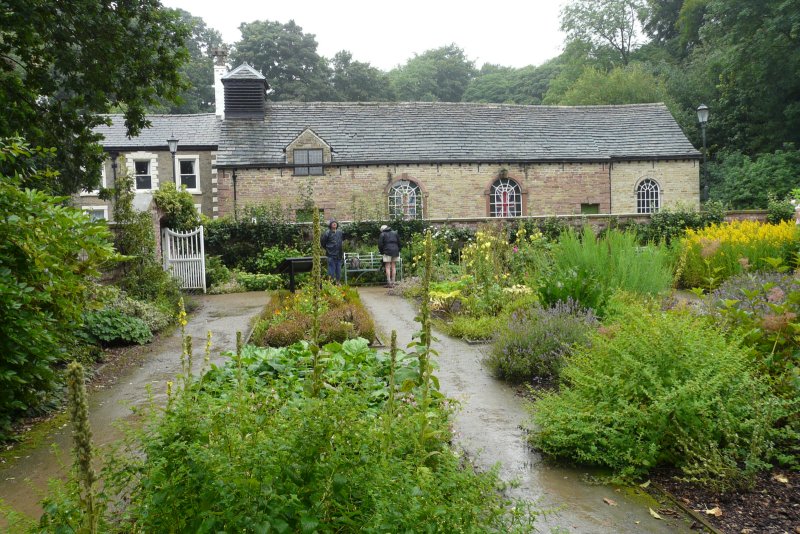
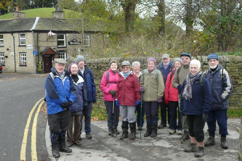
For our last walk in 2012, Richard and Susan Clark took us on a very pleasant round from Disley. We went through the 450 year old St Mary’s churchyard, and followed easy tracks to Cockhead Farm, by the reservoirs built by Stockport in the late 1800’s, before following Bollinhurst Brook down to Parkgate. Then we climbed the grassy path to Lyme Cage, and on to a coffee break overlooking the Hall, before taking the level track to East Lodge and Bollinhurst Bridge.
Just occasional slippy bits, then it was all easy downhill along Green Lane, and past the Quaker Meeting House to the White Horse.
There, 19 of us enjoyed the 2 for £12 offers, and the Clarks and the group leaders were thanked for their respective efforts, on the day and during the year. The threatened rain had held off until we were almost home, so it was a very satisfying end to 2012 walking.
 |
 |
 |
Thanks to the 2012 walk leaders, and everyone’s support during the year.
Walter Mason
Group Leader - Walter Mason